Moose
Alces alces shirasi
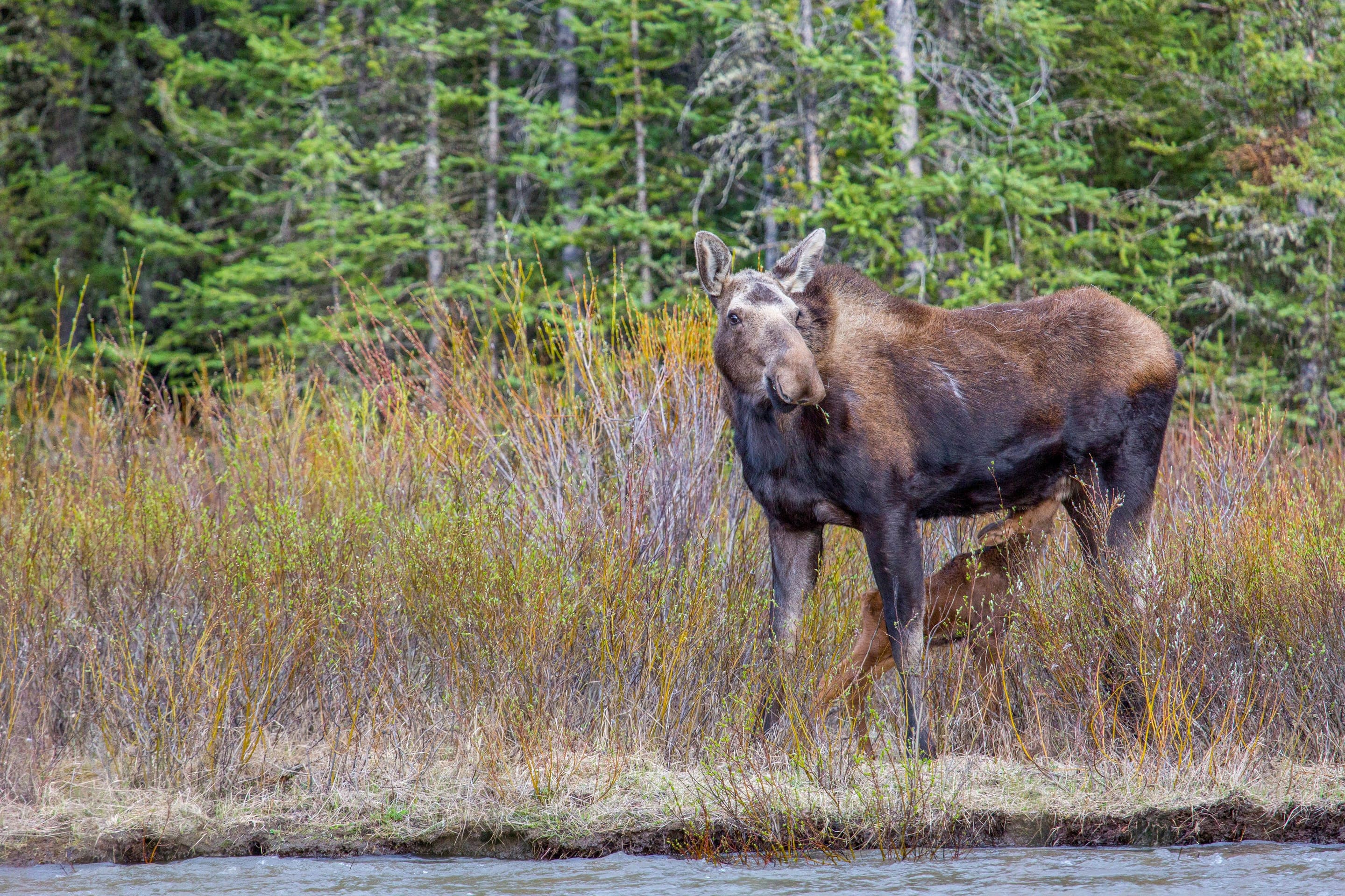
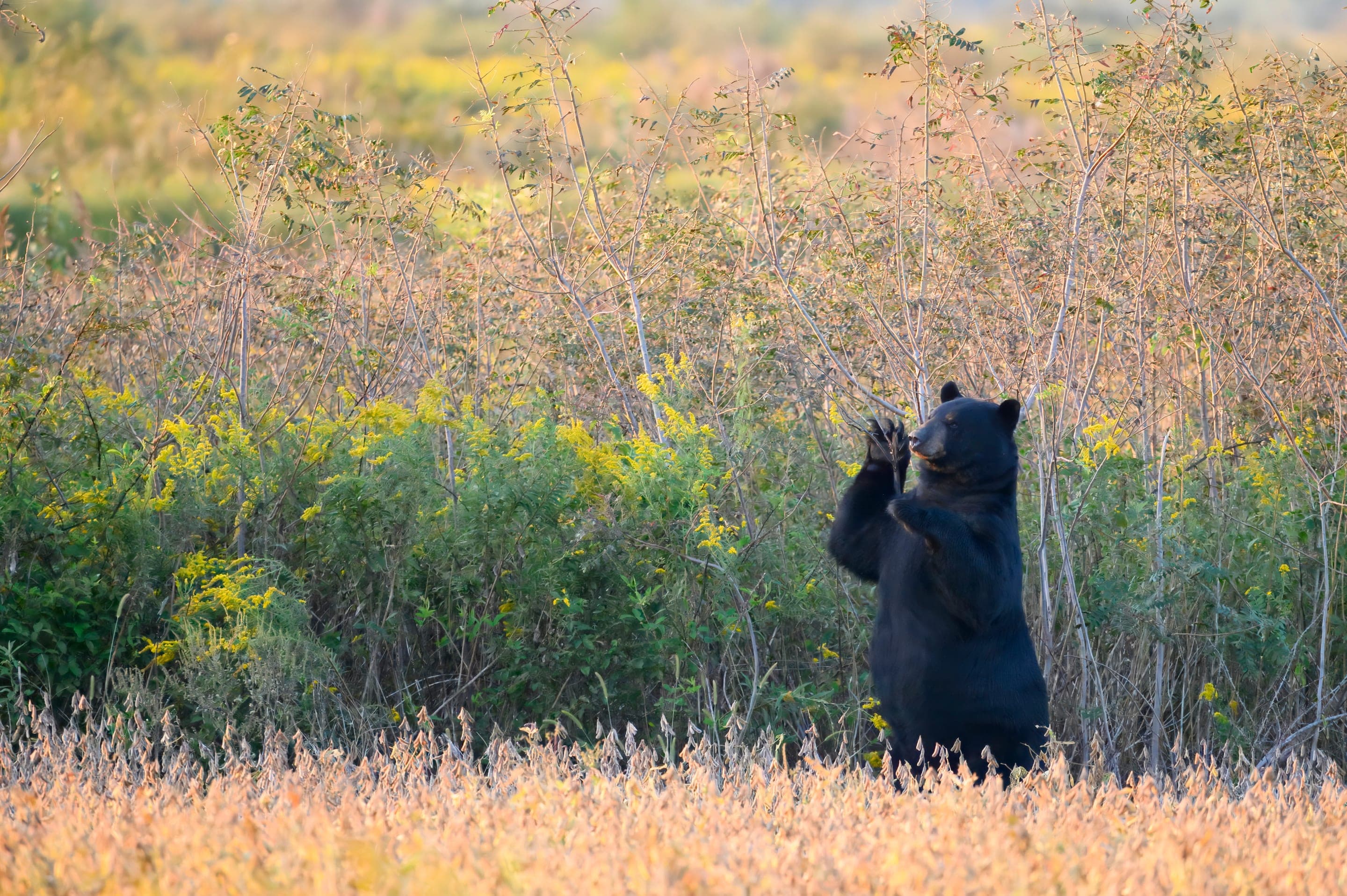
Resident cow-calf pairs in the lower meadows below Mitchell Lake. Keep 75 yards minimum.
Photo: NPS Photo — public domain
Loading
Loading page content
A half-mile walk into the Indian Peaks Wilderness
Indian Peaks Wilderness
Trip Builder
Tell us your date and conditions — we'll factor in the 1-mi route, 230 ft of gain, and 0.5–1 hour day to assemble the gear that matters in under a minute.
A half-mile walk into the Indian Peaks Wilderness. Editorial intro forthcoming.
Dogs: leashes required.
From Boulder, take CO-119 north to Nederland, then CO-72 north 12 miles to Brainard Lake Road. Timed-entry parking reservation required at Mitchell Lake Trailhead (recreation.gov). Upper trailheads open July 1, 2026.
Drive time
Personalize with your ZIP
We'll calculate drive time + a leave-by recommendation to beat the lot fill.
Practical-craft notes for this specific trail — timing, route, photo, etiquette.
Mitchell Lake Trailhead is its own lot in the Brainard area, ~0.5mi from Long Lake. Make sure your recreation.gov reservation is for the Mitchell Lake Trailhead specifically — they're not interchangeable.
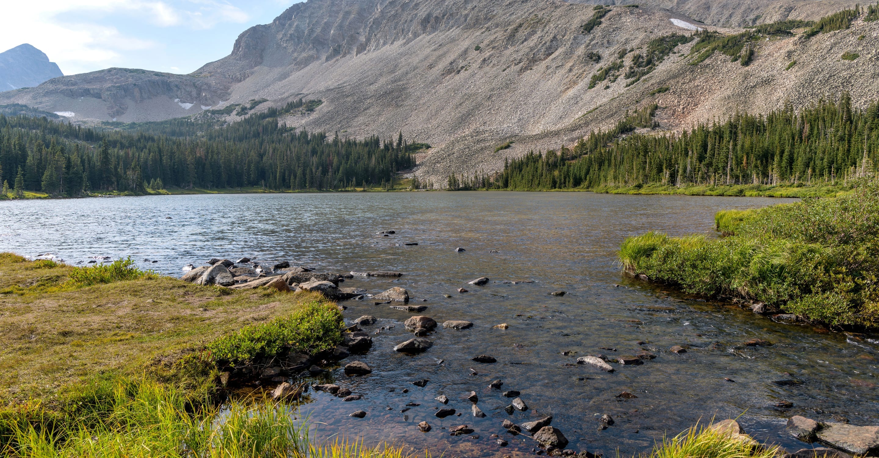
Mitchell Lake's south shore frames Mount Audubon perfectly. Morning light catches the peak's east face; late afternoon side-lights the ridge. Either time gives the postcard shot.
Mitchell Lake is just the first lake on the corridor. Adding Blue Lake (1.5mi more, 800ft more gain) gives you a real alpine basin with mountain-goat sightings. Worth the extra effort if you're already at Mitchell.
The Mitchell-to-Blue Lake corridor holds snow patches until mid-July. Microspikes optional but useful. Trekking poles essential for the steep section to Blue Lake.
Goats on the upper slopes will approach for salt. Don't urinate on the trail (it draws them); use a wag bag or move 200ft off-trail. Never offer food — habituated goats get euthanized.
Mitchell Lake is a SEPARATE Brainard-area trailhead from Long Lake — same $12 timed-entry reservation system (recreation.gov, 15-day rolling), but make sure you book the right lot. Smaller lot (30 spaces) sells out faster. No NPS entrance fee; overnight allowed for backpacking permits.
Permit dates verified 2026-05-17 · Verify on recreation.gov before your trip
Highlighted months offer the best conditions.
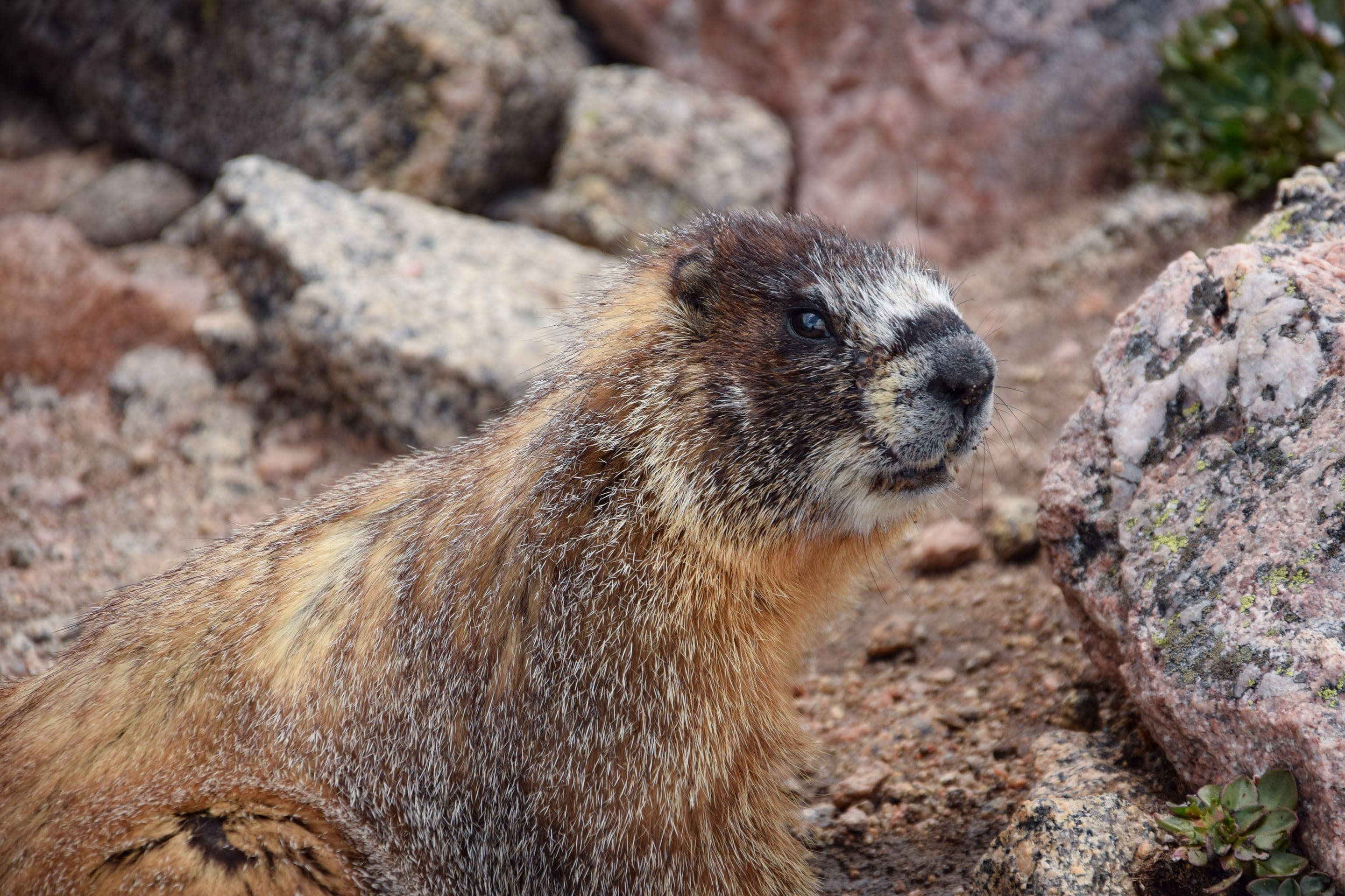
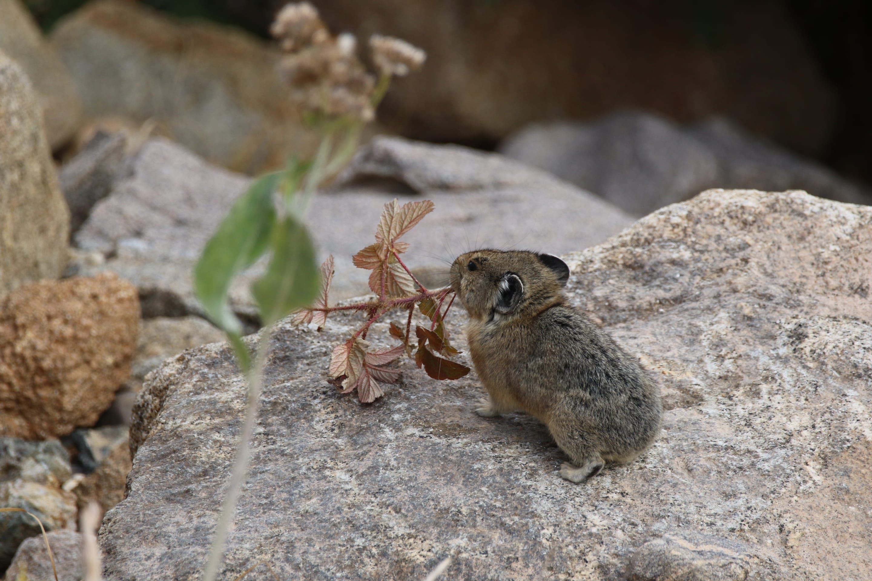
The Mitchell Lake corridor up to Blue Lake is one of Indian Peaks' best moose-viewing zones — willow-meadow habitat throughout. Marmots and pikas dominate the talus near Mount Audubon's base.

Alces alces shirasi
Resident cow-calf pairs in the lower meadows below Mitchell Lake. Keep 75 yards minimum.
Photo: NPS Photo — public domain

Marmota flaviventris
Photo: USFWS — public domain

Ochotona princeps
Photo: NPS Photo, Rocky Mountain NP — public domain

Oreamnos americanus
Occasional sightings on Mount Audubon's upper slopes — rare south of RMNP.
Photo: USFWS — public domain
Indian Peaks Wilderness permit covers Mitchell Lake area camping. Most overnight users continue to Blue Lake's higher basin (10,800ft) for the full alpine experience. Bear-canister required.
Curated for this trail's terrain, elevation, and typical conditions.
Moderate · Indian Peaks · 4.6 mi · 440 ft gain
Alpine basin under Navajo Peak — 4.6 mi RT from Long Lake Trailhead
Read the guide →Easy · Indian Peaks · 3.2 mi · 110 ft gain
Indian Peaks' easiest family loop — alpine views without the climb
Read the guide →Hard · Indian Peaks · 5.4 mi · 875 ft gain
Alpine basin and waterfall via the Arapaho Pass Trail
Read the guide →We publish photos after a quick moderator review. As soon as a hiker shares conditions out there, they'll appear here.