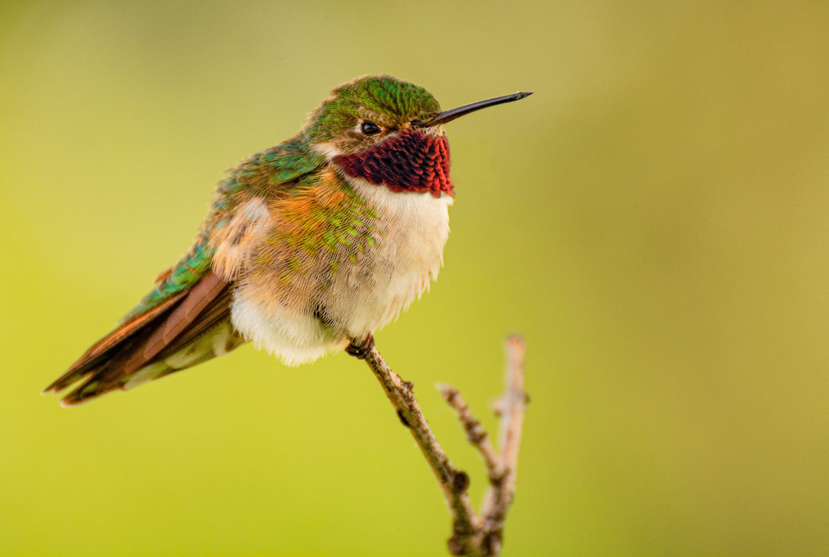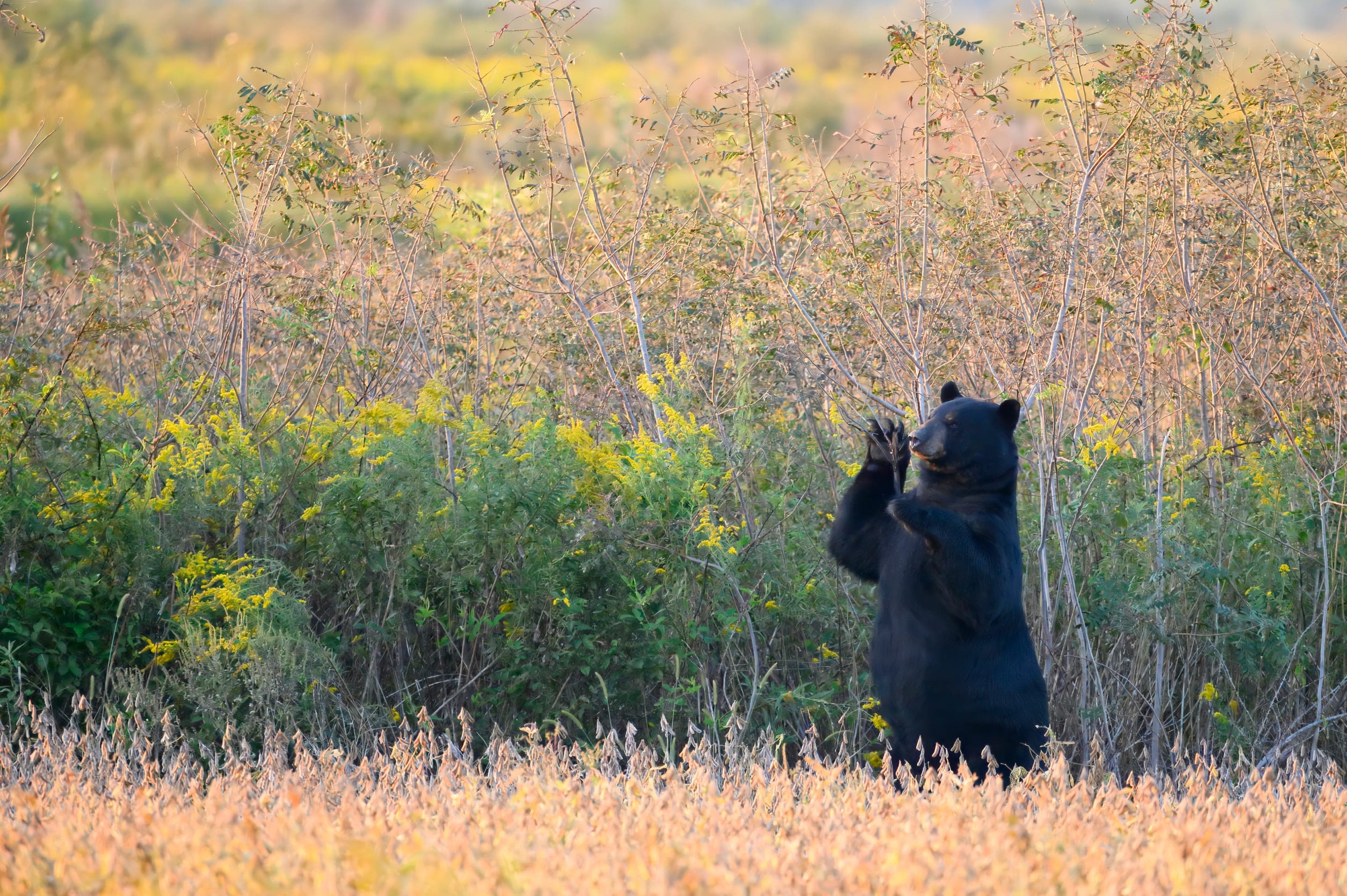
Broad-tailed hummingbird
Selasphorus platycercus
Distinctive wing-trill of the breeding males in the wildflower basin June through August.
Photo: USFWS — public domain
Loading
Loading page content
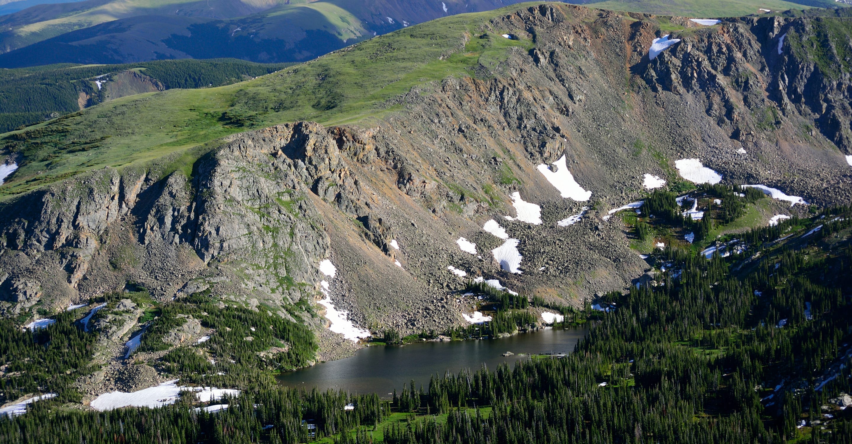
Alpine basin and waterfall via the Arapaho Pass Trail
Indian Peaks Wilderness
Trip Builder
Tell us your date and conditions — we'll factor in the 5.4-mi route, 875 ft of gain, and 3–4.5 hour day to assemble the gear that matters in under a minute.
Alpine basin and waterfall via the Arapaho Pass Trail. Editorial intro forthcoming.
Dogs: leashes required.
From Nederland, take CO-119 south 0.5 miles, turn west onto Boulder County Road 130 toward Eldora. Continue through Eldora; pavement ends, follow the rough dirt road 5 miles to the Fourth of July Trailhead. Free parking — arrive before 6am summer weekends.
Drive time
Personalize with your ZIP
We'll calculate drive time + a leave-by recommendation to beat the lot fill.
Practical-craft notes for this specific trail — timing, route, photo, etiquette.
The trail drops 500ft from the Fourth of July Trailhead before climbing to Diamond Lake. The return is 500ft of UP-after-tired. Pace accordingly; many hikers underestimate the climb back.
The Middle Boulder Creek waterfall mid-trail is the classic Diamond Lake shot. A 6-stop ND filter at f/16 gives the silky-water look. Tripod required.
The 5-mile dirt road past Eldora is rough — high-clearance recommended. 2WD sedans make it in dry conditions but get scraped underneath. 4WD recommended after rain.
No permit required (free trailhead) makes Diamond Lake the obvious Indian Peaks alternative when Brainard sells out. The trade-off is the rough access road and pre-6am parking pressure.
The Middle Boulder Creek crossing runs high May–June from snowmelt. Plan for wet feet or use a downstream log crossing. By July it's manageable.
Fourth of July Trailhead is free + no permit required — but the lot is small and the rough dirt-road approach makes it 90+ minutes from Boulder. Plan to arrive by 6am on summer weekends or expect to walk the access road. High-clearance vehicle preferred for the last 5 miles. Overnight allowed for wilderness-permit holders.
Highlighted months offer the best conditions.
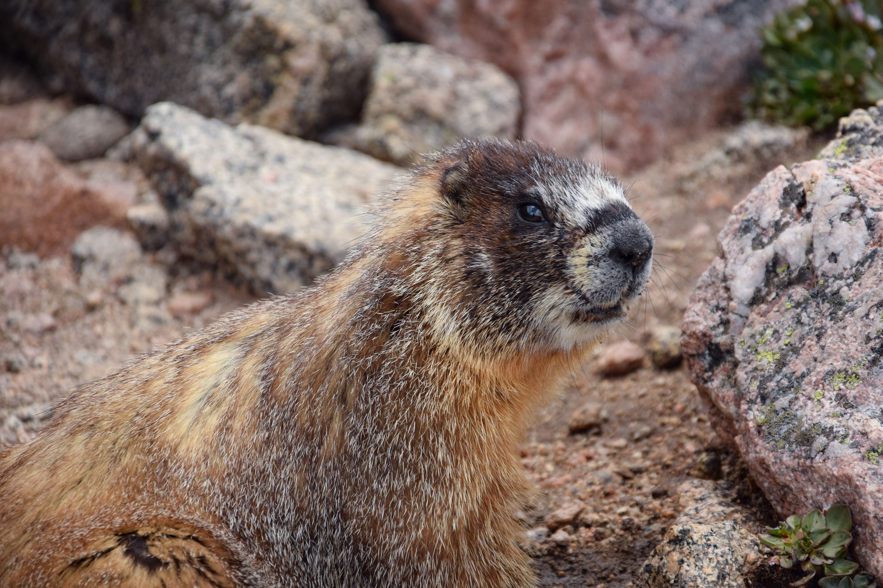
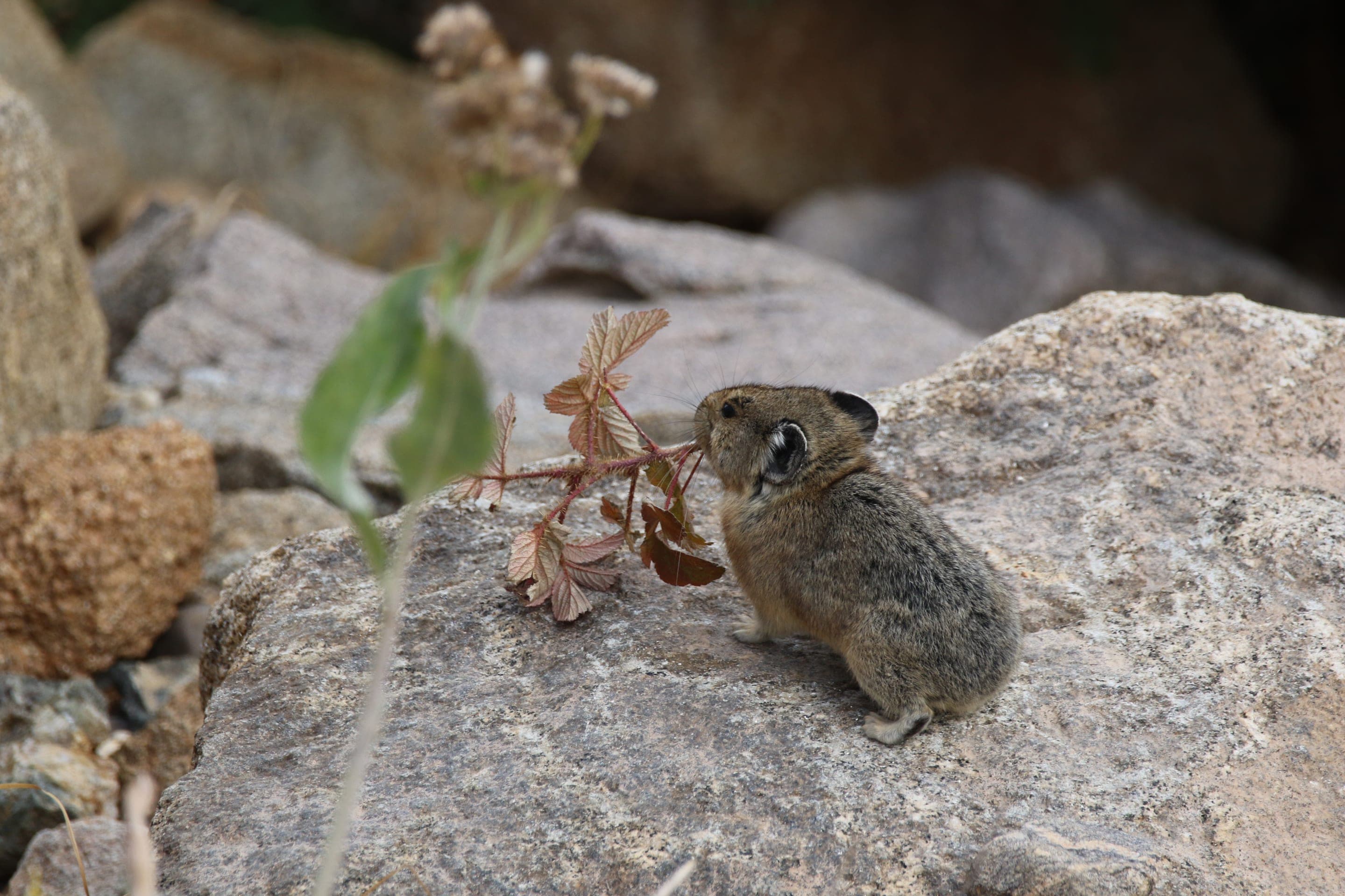
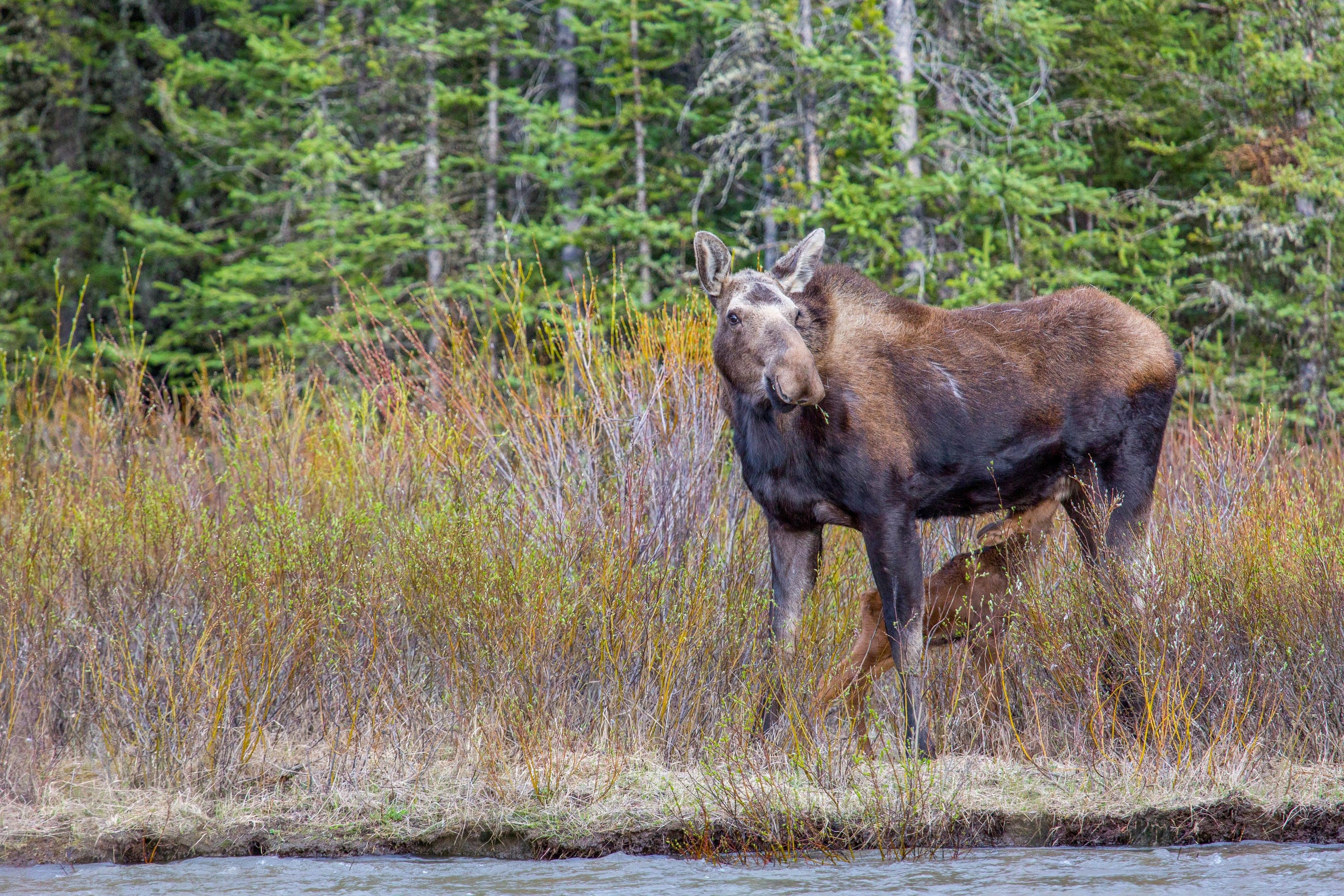
Diamond Lake's wildflower basin draws hummingbirds and butterflies in late July; the surrounding talus hosts marmots and pikas through summer. Moose and mountain goats both possible — sightings increase mid-summer when alpine forage peaks.

Selasphorus platycercus
Distinctive wing-trill of the breeding males in the wildflower basin June through August.
Photo: USFWS — public domain

Marmota flaviventris
Photo: USFWS — public domain

Ochotona princeps
Photo: NPS Photo, Rocky Mountain NP — public domain

Alces alces shirasi
Photo: NPS Photo — public domain
Indian Peaks Wilderness permit covers Diamond Lake camping. The basin's flat areas south of the lake make legal dispersed sites. Less popular than Lake Isabelle, so permits often available even on short notice.
Curated for this trail's terrain, elevation, and typical conditions.
Same parking, same logistics — if your plans need to flex, here's what else is reachable from Fourth of July Trailhead.
Hard · Indian Peaks · 7.1 mi · 1,945 ft gain
The Indian Peaks' highest named lake at 12,061ft via Arapaho Pass
Read the guide →Moderate · Indian Peaks · 4.6 mi · 440 ft gain
Alpine basin under Navajo Peak — 4.6 mi RT from Long Lake Trailhead
Read the guide →Moderate · Indian Peaks · 1 mi · 230 ft gain
A half-mile walk into the Indian Peaks Wilderness
Read the guide →We publish photos after a quick moderator review. As soon as a hiker shares conditions out there, they'll appear here.