Loading
Loading page contentLoading
Loading page contentTrail Guides
Route details, real conditions intel, and a curated gear list for every trail — from Front Range 14ers to Boulder day hikes.
26 trails
EasyBoulderBoulder Open Space & Mountain Parks
Boulder's easiest lake loop — wetlands, prairie, and Foothills views
1.8 mi RT · 88 ft gain · 0.5–1 hrs
EasyBoulderBoulder Open Space & Mountain Parks
Flat creek-side prairie walk — Boulder's easiest accessible trail
2.5 mi RT · 49 ft gain · 0.5–1 hrs
EasyBoulderBoulder Open Space & Mountain Parks
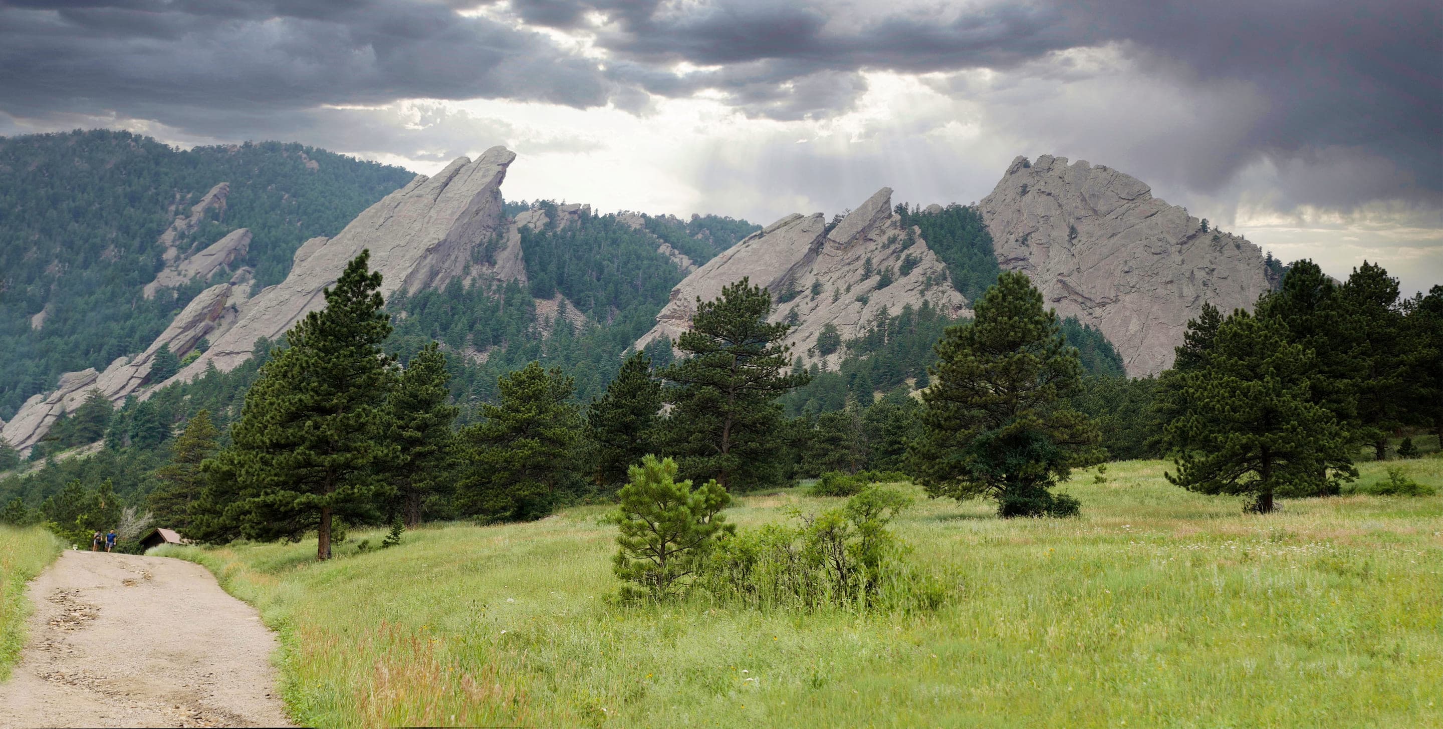
Chautauqua's gradual beginner climb toward the Flatirons
2 mi RT · 416 ft gain · 1–1.5 hrs
EasyBoulderBoulder Open Space & Mountain Parks
Mount Sanitas's gentle valley alternative — broad gravel uphill
2.4 mi RT · 465 ft gain · 1–1.5 hrs
EasyBoulderBoulder Open Space & Mountain Parks
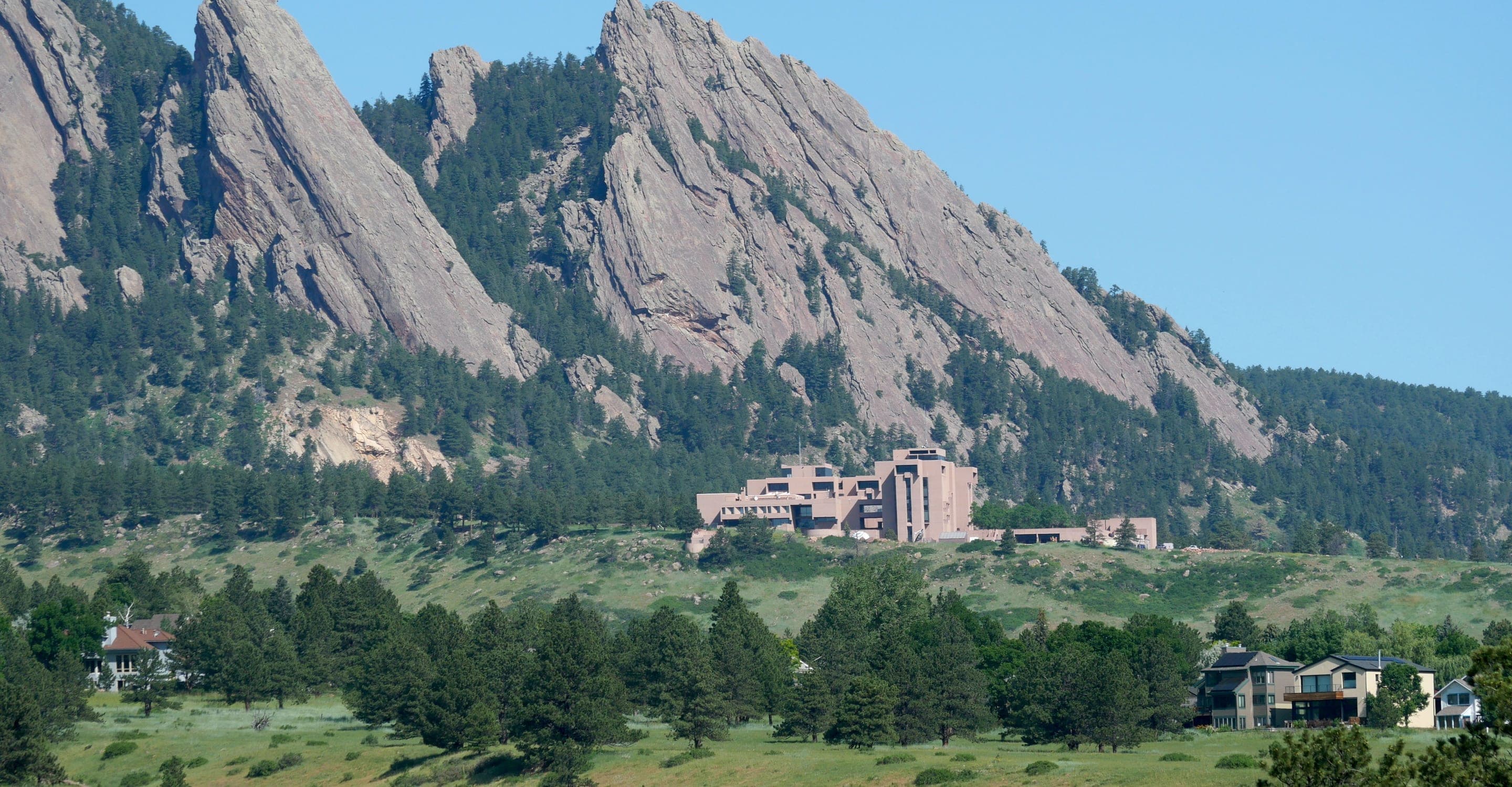
Half-mile interpretive loop at NCAR's Mesa Laboratory
0.4 mi RT · 75 ft gain · 0.5–1 hrs
EasyBoulderBald Mountain Scenic Area (Boulder County Open Space)
Short summit loop with 360° Continental Divide views
1.1 mi RT · 196 ft gain · 0.5–1 hrs
EasyBoulderBoulder Open Space & Mountain Parks
Boulder's gateway to the Flatirons — 3.2-mi loop from downtown OSMP
3.2 mi RT · 780 ft gain · 1.5–3 hrs
HardBoulderBoulder Open Space & Mountain Parks
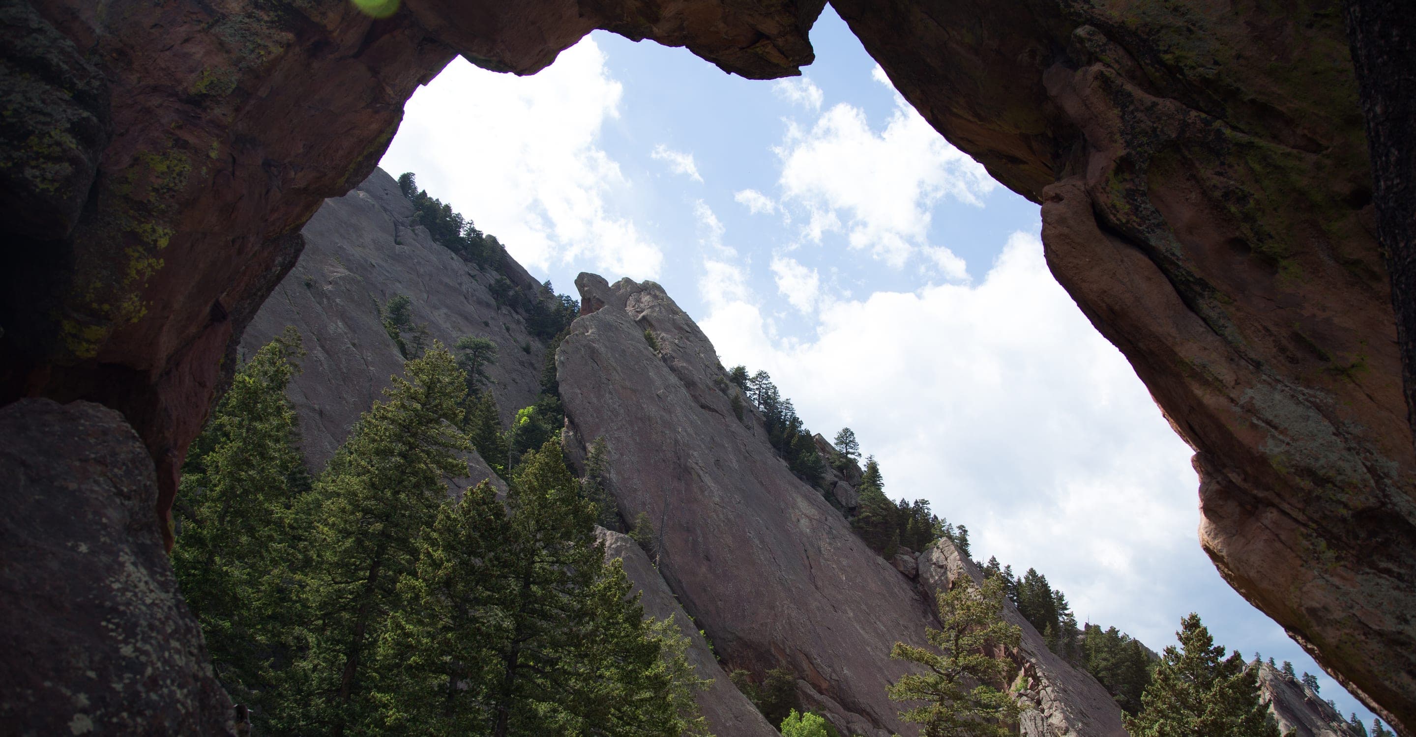
1,400 ft climb to a 7,040 ft sandstone arch — 3.4 mi RT from Chautauqua
3.4 mi RT · 1,400 ft gain · 2–4 hrs
HardBoulderBoulder Open Space & Mountain Parks
Boulder OSMP's high point — 8,461 ft via West Ridge or Fern Canyon
5.5 mi RT · 2,850 ft gain · 3–6 hrs
HardBoulderBoulder Open Space & Mountain Parks
Boulder OSMP's highest summit at 8,549 ft — 6.8 mi RT via Shadow Canyon
6.8 mi RT · 2,950 ft gain · 3.5–6 hrs
HardBoulderBoulder Open Space & Mountain Parks
Boulder's Skyline Traverse high point via Gregory Canyon
5.6 mi RT · 2,378 ft gain · 3.5–5 hrs
ModerateBoulderBoulder Open Space & Mountain Parks
The gentlest Skyline Traverse summit — drivable or hiked
4.2 mi RT · 1,494 ft gain · 2.5–3.5 hrs
ModerateBoulderBoulder Open Space & Mountain Parks
Boulder's steepest popular summit — 1,300ft in a mile and a half
3.1 mi RT · 1,323 ft gain · 2–3 hrs
EasyIndian PeaksIndian Peaks Wilderness
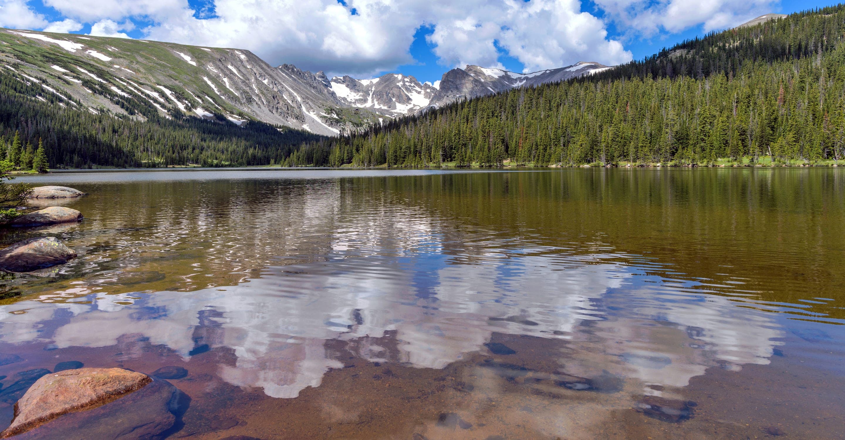
Indian Peaks' easiest family loop — alpine views without the climb
3.2 mi RT · 110 ft gain · 1.5–2 hrs
ModerateIndian PeaksIndian Peaks Wilderness
A half-mile walk into the Indian Peaks Wilderness
1 mi RT · 230 ft gain · 0.5–1 hrs
ModerateIndian PeaksIndian Peaks Wilderness
Alpine basin under Navajo Peak — 4.6 mi RT from Long Lake Trailhead
4.6 mi RT · 440 ft gain · 2.5–3.5 hrs
HardIndian PeaksIndian Peaks Wilderness
Alpine basin and waterfall via the Arapaho Pass Trail
5.4 mi RT · 875 ft gain · 3–4.5 hrs
HardIndian PeaksIndian Peaks Wilderness
The Indian Peaks' highest named lake at 12,061ft via Arapaho Pass
7.1 mi RT · 1,945 ft gain · 4–5.5 hrs
EasyFront RangeRocky Mountain National Park
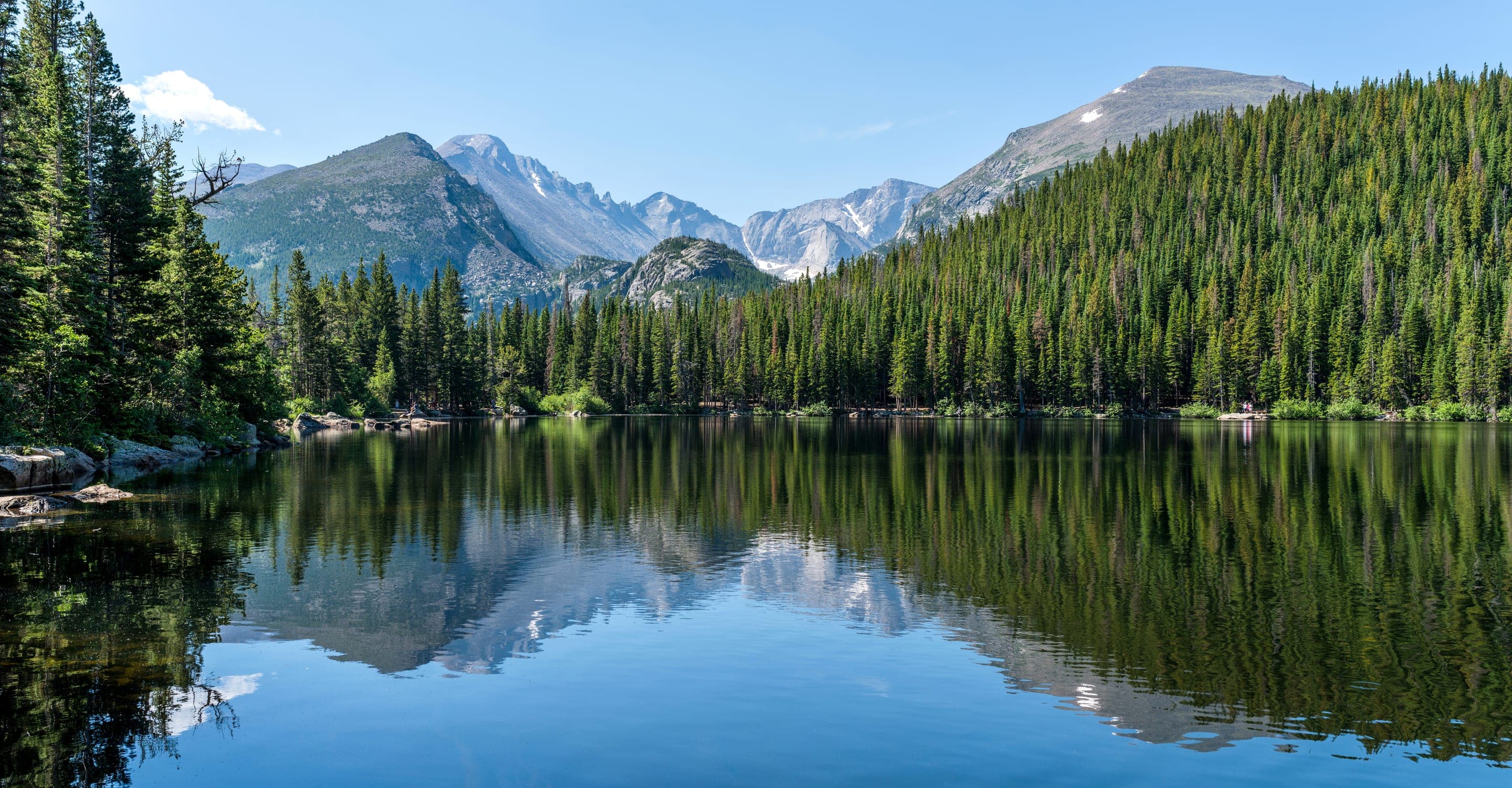
0.8-mi RMNP loop on Bear Lake Road — gateway to Nymph, Dream, and Emerald Lake
0.8 mi RT · 20 ft gain · 0.5–1.5 hrs
EasyFront RangeRocky Mountain National Park
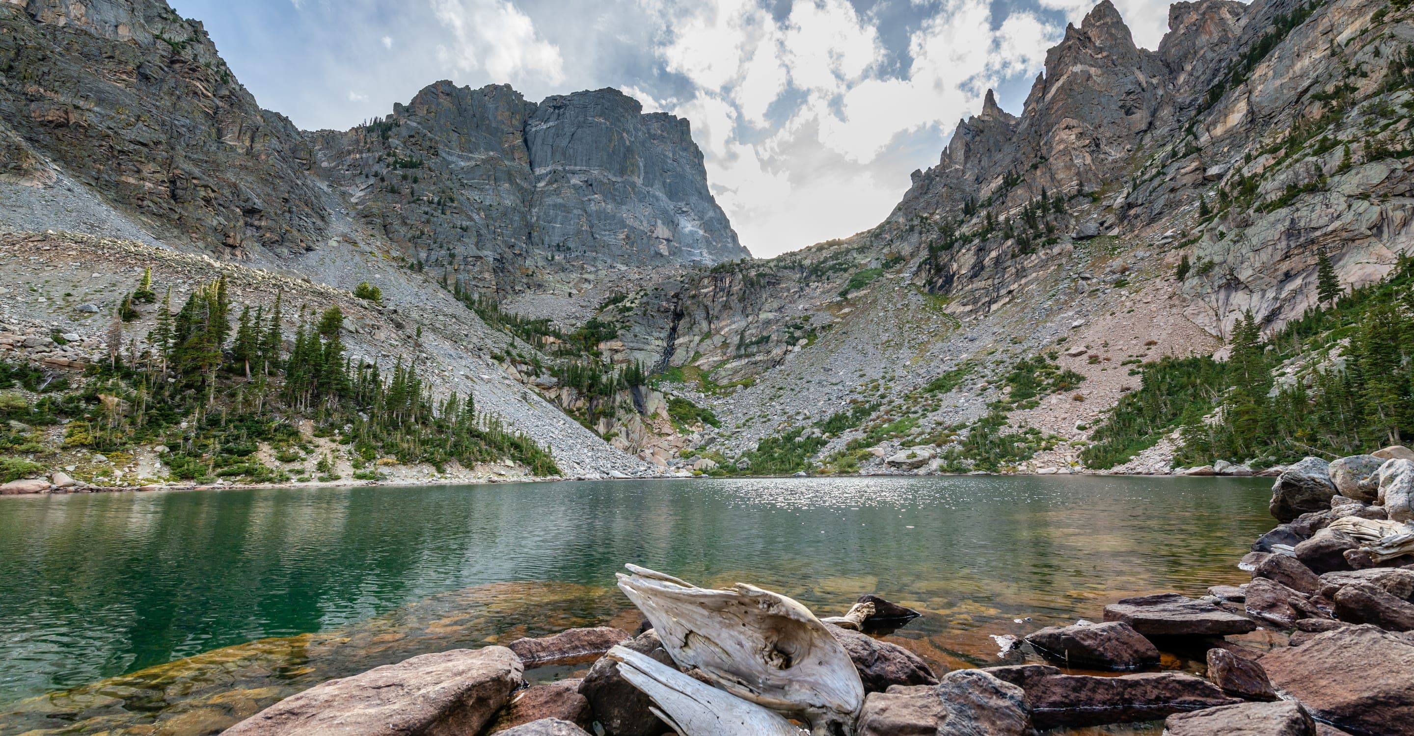
Three alpine lakes in one RMNP day hike
3.6 mi RT · 605 ft gain · 2–4 hrs
EasyFront RangeRocky Mountain National Park
Wheelchair-accessible mountain lake in Rocky Mountain National Park
0.7 mi RT · 36 ft gain · 0.5–1 hrs
EasyFront RangeRocky Mountain National Park
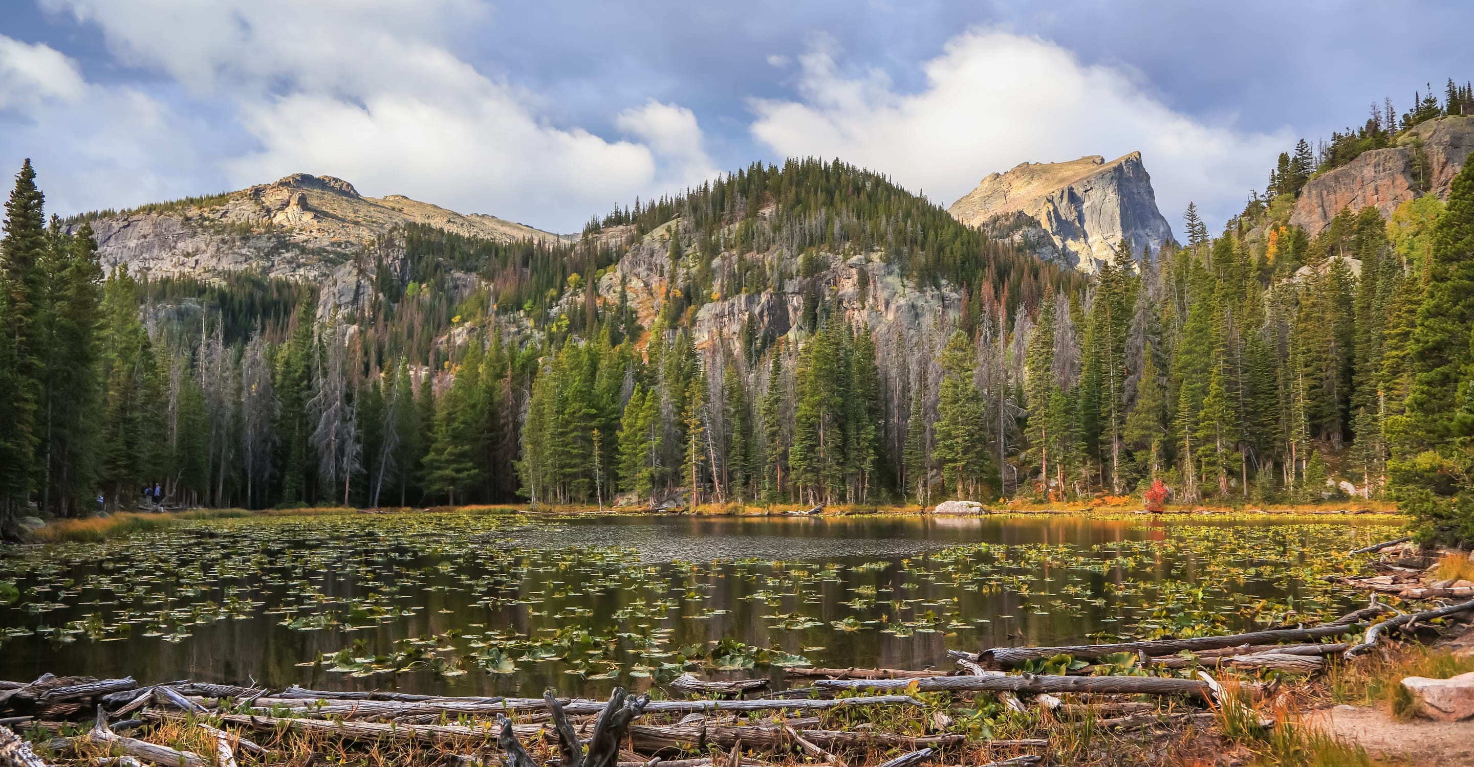
Lily-pad alpine lake — the first stop on the Bear Lake corridor
1.1 mi RT · 245 ft gain · 0.5–1 hrs
ExpertFront RangeRocky Mountain National Park
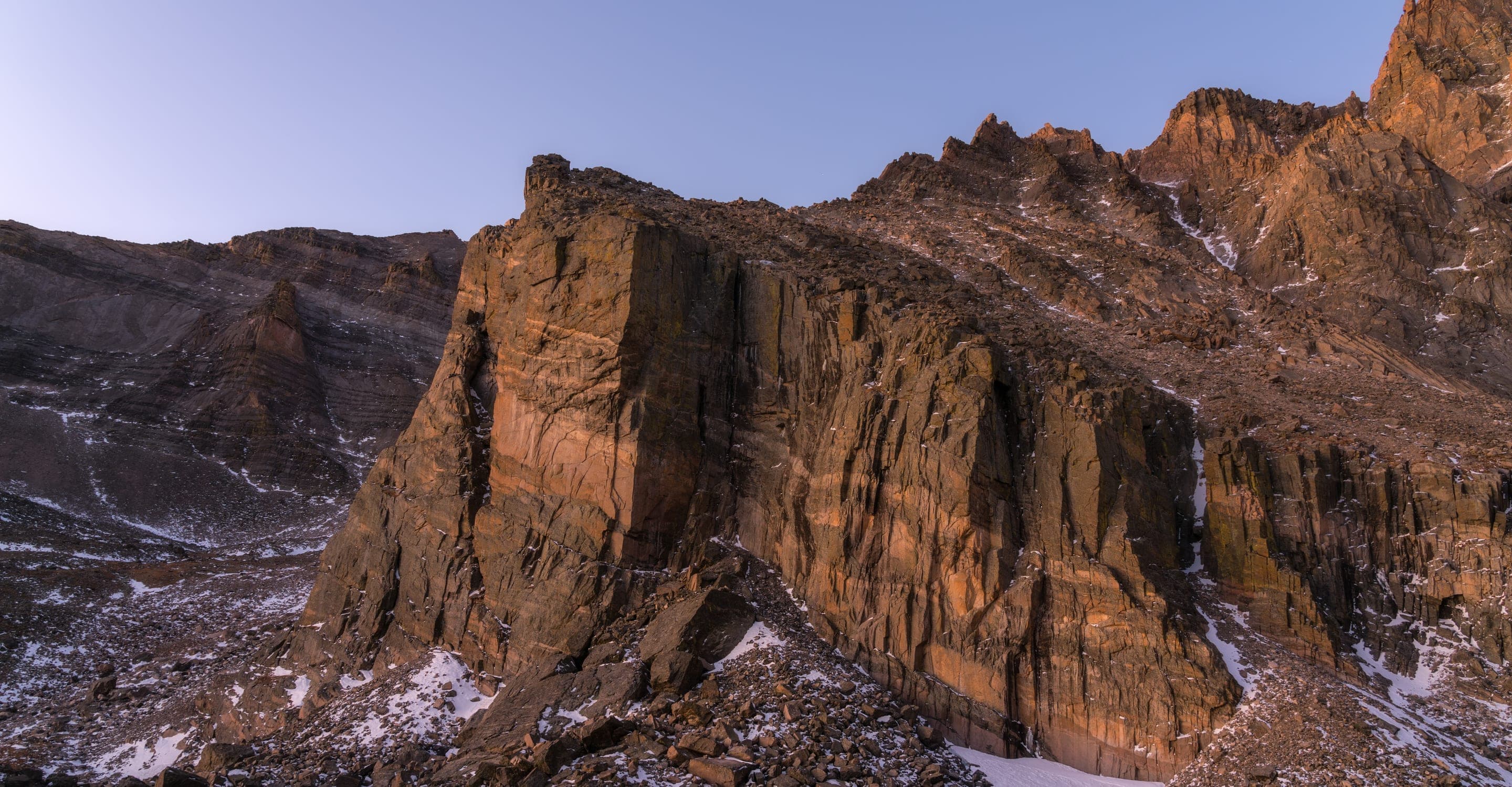
RMNP's only 14er — 14.5 mi RT via the Keyhole Route
14.5 mi RT · 5,100 ft gain · 10–15 hrs
HardFront RangeArapaho National Forest
7-mi 14er from Guanella Pass — 11,669 ft trailhead, willow bog at the base
7 mi RT · 2,850 ft gain · 4–7 hrs
HardSummit CountyWhite River National Forest
Tenmile Range 14er via the East Ridge — parking reservation required at Quandaryparking.com
6.75 mi RT · 3,300 ft gain · 4–7 hrs
Not sure which trail?
Tell us your destination and trip date. The Trip Builder pulls live weather and elevation to recommend the right gear for your specific day.
Live forecast. Temperatures shown on each card are today's elevation-adjusted forecast at the trailhead — Bear Lake at 9,475 ft reads cooler than Boulder Creek at 5,400 ft on the same day. Source: weather.gov, updated every 30 minutes.
Boulder Open Space & Mountain Parks
Flat creek-side prairie walk — Boulder's easiest accessible trail
2.5 mi RT · 49 ft gain · 0.5–1 hrs
Boulder Open Space & Mountain Parks
Chautauqua's gradual beginner climb toward the Flatirons
2 mi RT · 416 ft gain · 1–1.5 hrs
Boulder Open Space & Mountain Parks
Mount Sanitas's gentle valley alternative — broad gravel uphill
2.4 mi RT · 465 ft gain · 1–1.5 hrs
Boulder Open Space & Mountain Parks
Half-mile interpretive loop at NCAR's Mesa Laboratory
0.4 mi RT · 75 ft gain · 0.5–1 hrs
Bald Mountain Scenic Area (Boulder County Open Space)
Short summit loop with 360° Continental Divide views
1.1 mi RT · 196 ft gain · 0.5–1 hrs
Boulder Open Space & Mountain Parks
Boulder's gateway to the Flatirons — 3.2-mi loop from downtown OSMP
3.2 mi RT · 780 ft gain · 1.5–3 hrs
Indian Peaks Wilderness
Indian Peaks' easiest family loop — alpine views without the climb
3.2 mi RT · 110 ft gain · 1.5–2 hrs
Rocky Mountain National Park
0.8-mi RMNP loop on Bear Lake Road — gateway to Nymph, Dream, and Emerald Lake
0.8 mi RT · 20 ft gain · 0.5–1.5 hrs
RMNP's only 14er — 14.5 mi RT via the Keyhole Route
14.5 mi RT · 5,100 ft gain · 10–15 hrs
White River National Forest
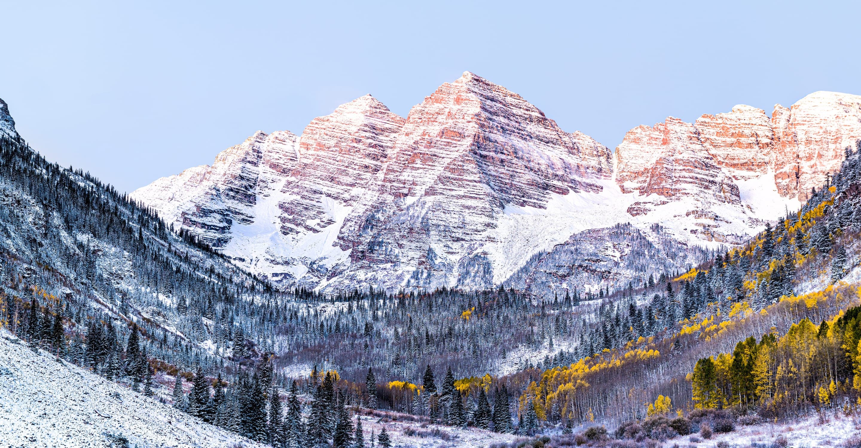
1.8-mi lake loop framing the Maroon Bells at 9,580 ft — timed-entry shuttle required
1.8 mi RT · 500 ft gain · 1–3 hrs