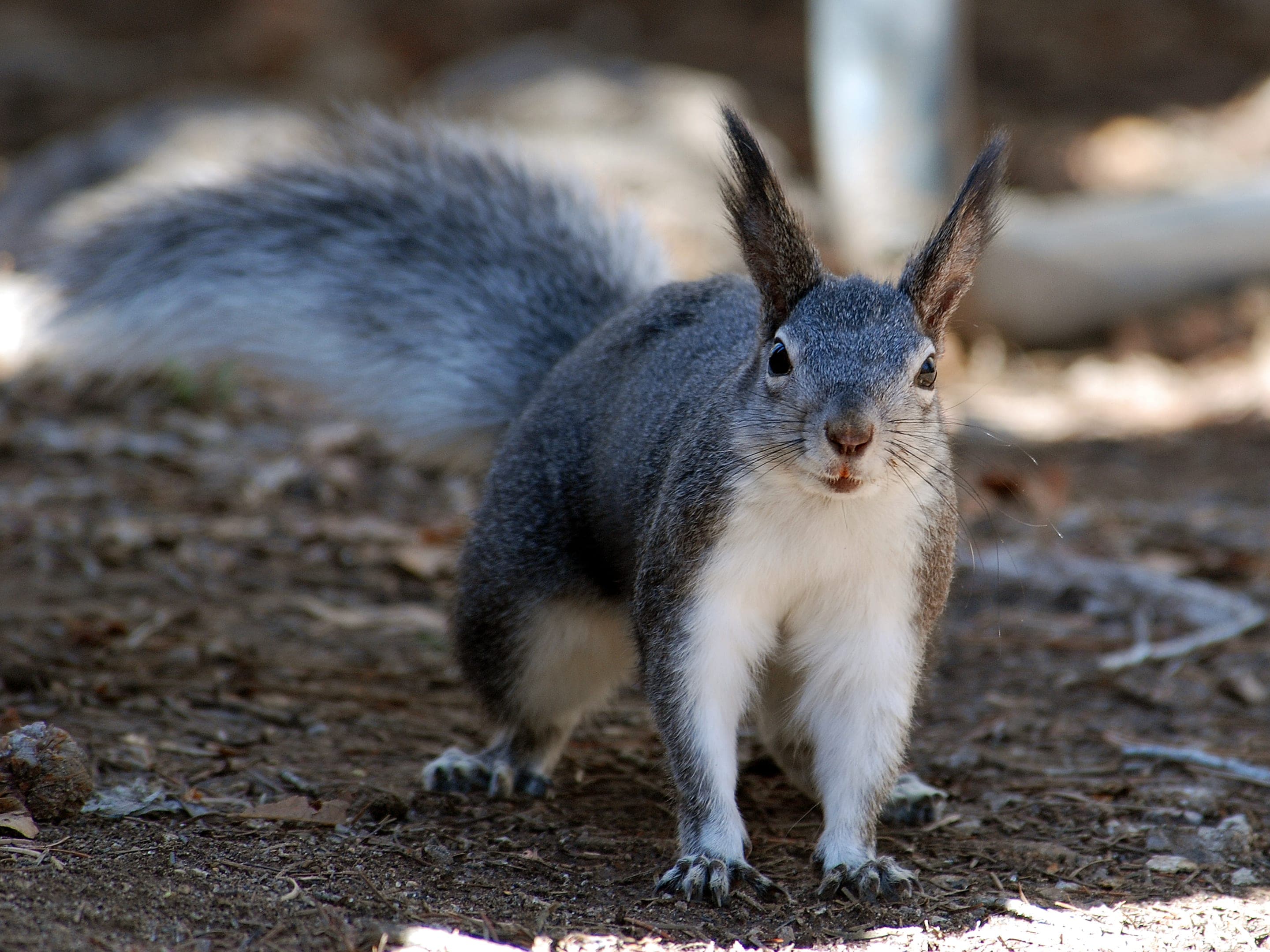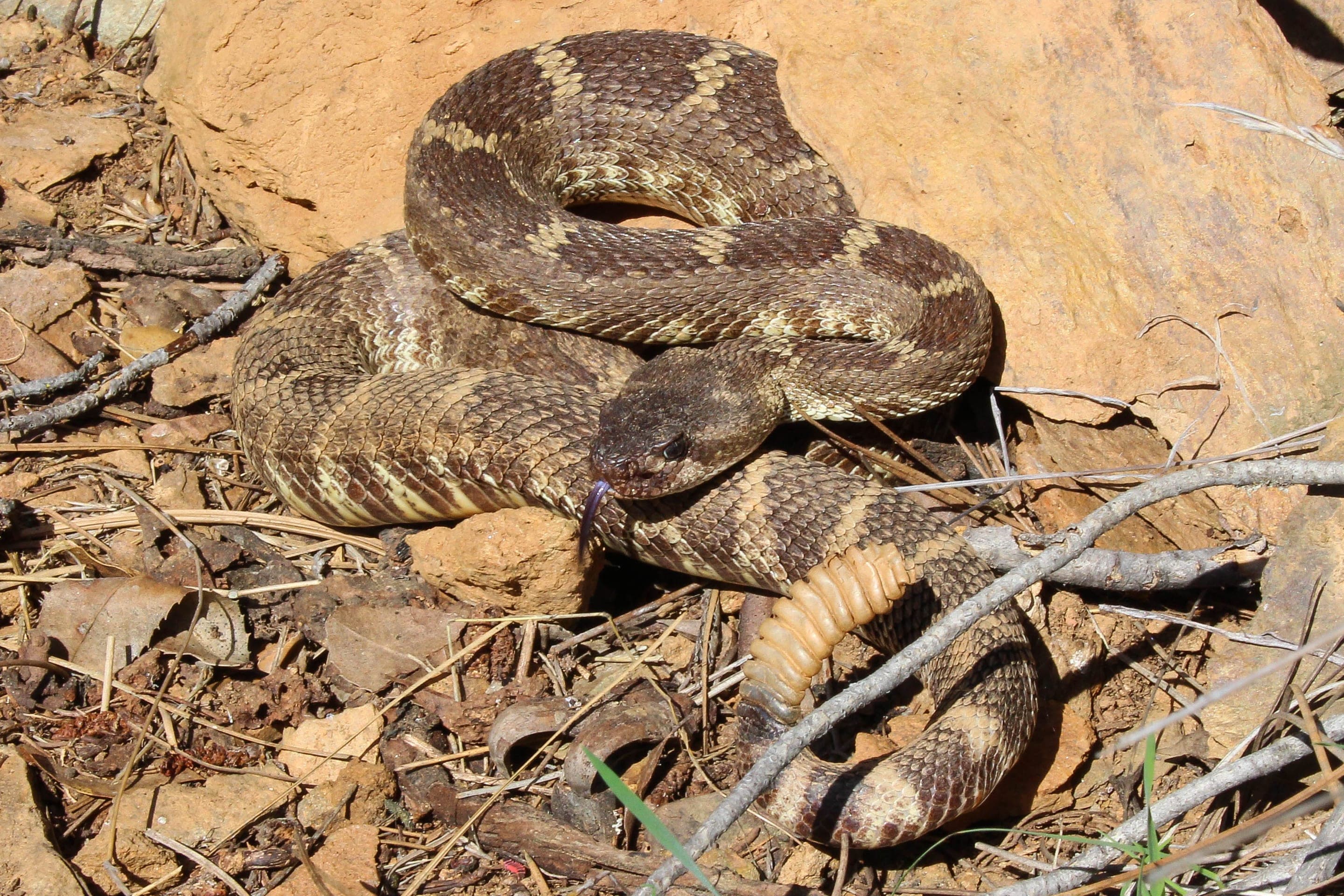
Abert's squirrel
Sciurus aberti
Photo: USFWS — public domain
Loading
Loading page content
Short summit loop with 360° Continental Divide views
Bald Mountain Scenic Area (Boulder County Open Space)
Trip Builder
Tell us your date and conditions — we'll factor in the 1.1-mi route, 196 ft of gain, and 0.5–1 hour day to assemble the gear that matters in under a minute.
Short summit loop with 360° Continental Divide views. Editorial intro forthcoming.
Dogs: leashes required.
From Boulder, take Sunshine Canyon Drive (which becomes Gold Hill Road) approximately 5 miles to the Bald Mountain Scenic Area trailhead on the right.
Drive time
Personalize with your ZIP
We'll calculate drive time + a leave-by recommendation to beat the lot fill.
Practical-craft notes for this specific trail — timing, route, photo, etiquette.
The street name changes mid-drive without ceremony. Keep going west on the same paved road through the name transition; the trailhead is 5 miles past Boulder proper.
The grassy summit dome gives an unobstructed 360° view from Continental Divide to Great Plains. Sunrise from this 7,160ft vantage is one of the Front Range's best — bring a thermos and a wide-angle lens.
The bare summit dome catches every gust. Even on warm Boulder days, the summit can be 15°F cooler with steady wind. Pack a fleece + windbreaker year-round.
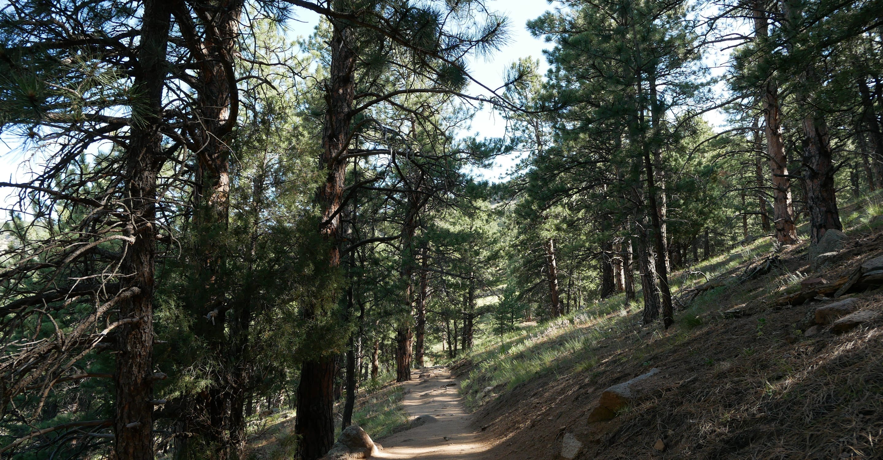
The lower ponderosa-aspen mix turns gold mid-October. Combined with the Continental Divide views, this is one of Boulder County's most photogenic short fall hikes.
Easy 1.1mi loop — trail runners fine. Cell coverage is spotty in the canyon approach; download offline maps before driving up.
Bald Mountain's lot is one of Boulder County's quieter trailheads — abundant parking even on busy weekends. Free, no overnight stays. The Sunshine/Gold Hill access road is paved but winding; expect 20 minutes from downtown Boulder.
Highlighted months offer the best conditions.
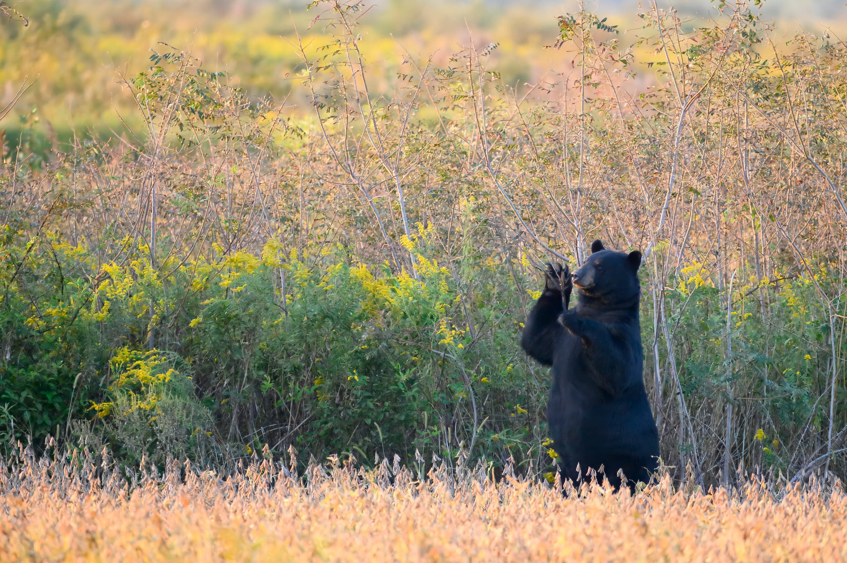
Bald Mountain's open ponderosa-grassland mix supports a quieter wildlife mix than the Flatirons trails — Abert's squirrels in the pine canopy, occasional black bear in fall, and turkey vultures soaring the summit thermals.

Sciurus aberti
Photo: USFWS — public domain

Odocoileus hemionus
Photo: NPS Photo — public domain

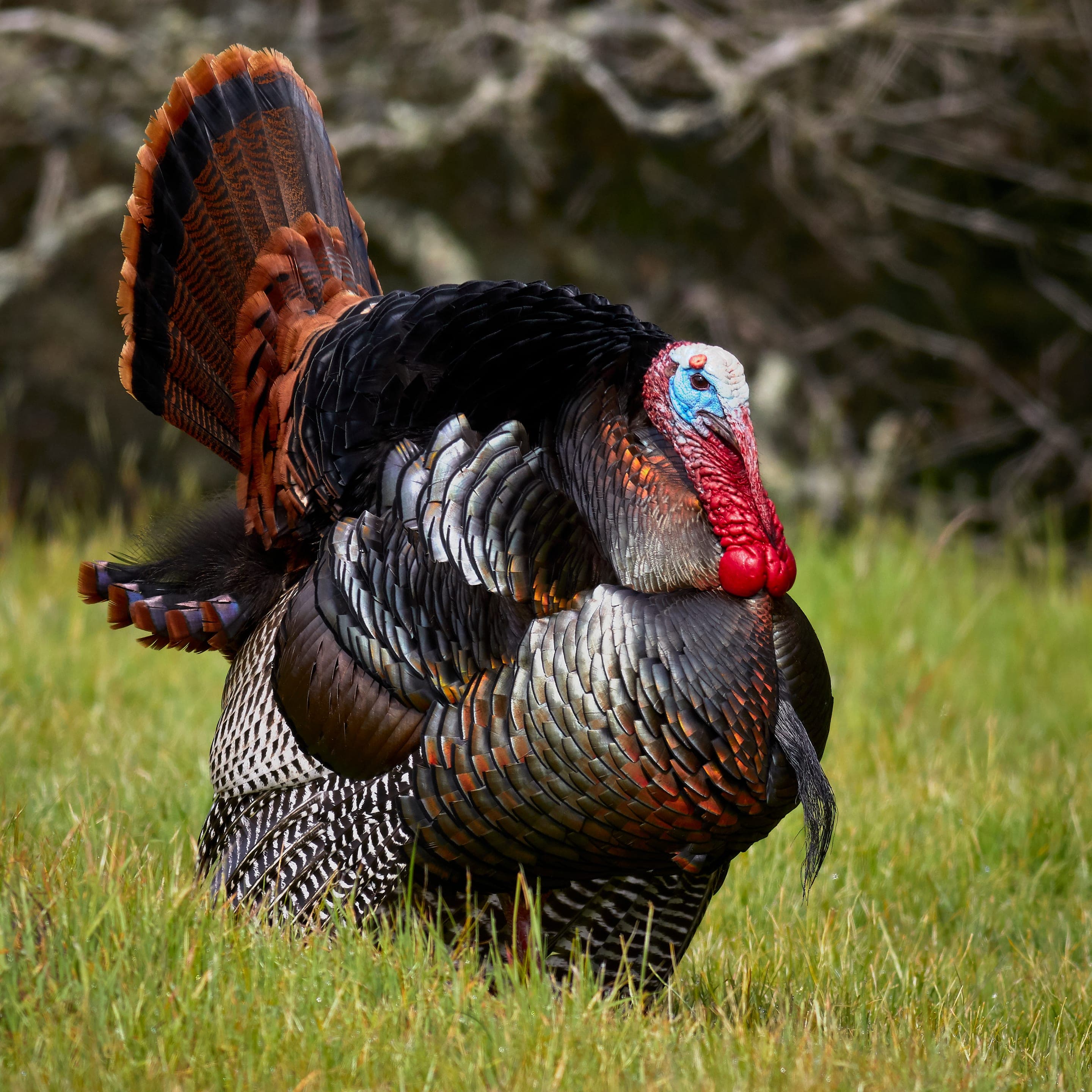
Meleagris gallopavo
Small flocks forage the ponderosa understory in fall.
Photo: USFWS — public domain

Cathartes aura
Soaring summit thermals April through October.
Photo: USFWS — public domain
Day-use only — overnight not permitted
Boulder County Open Space day-use only. Closest car camping is Reverend's Ridge in Golden Gate Canyon State Park (~30min drive south).
Curated for this trail's terrain, elevation, and typical conditions.
Easy · Boulder · 0.4 mi · 75 ft gain
Half-mile interpretive loop at NCAR's Mesa Laboratory
Read the guide →Easy · Boulder · 1.8 mi · 88 ft gain
Boulder's easiest lake loop — wetlands, prairie, and Foothills views
Read the guide →Easy · Boulder · 2.5 mi · 49 ft gain
Flat creek-side prairie walk — Boulder's easiest accessible trail
Read the guide →We publish photos after a quick moderator review. As soon as a hiker shares conditions out there, they'll appear here.