Bobolink
Dolichonyx oryzivorus
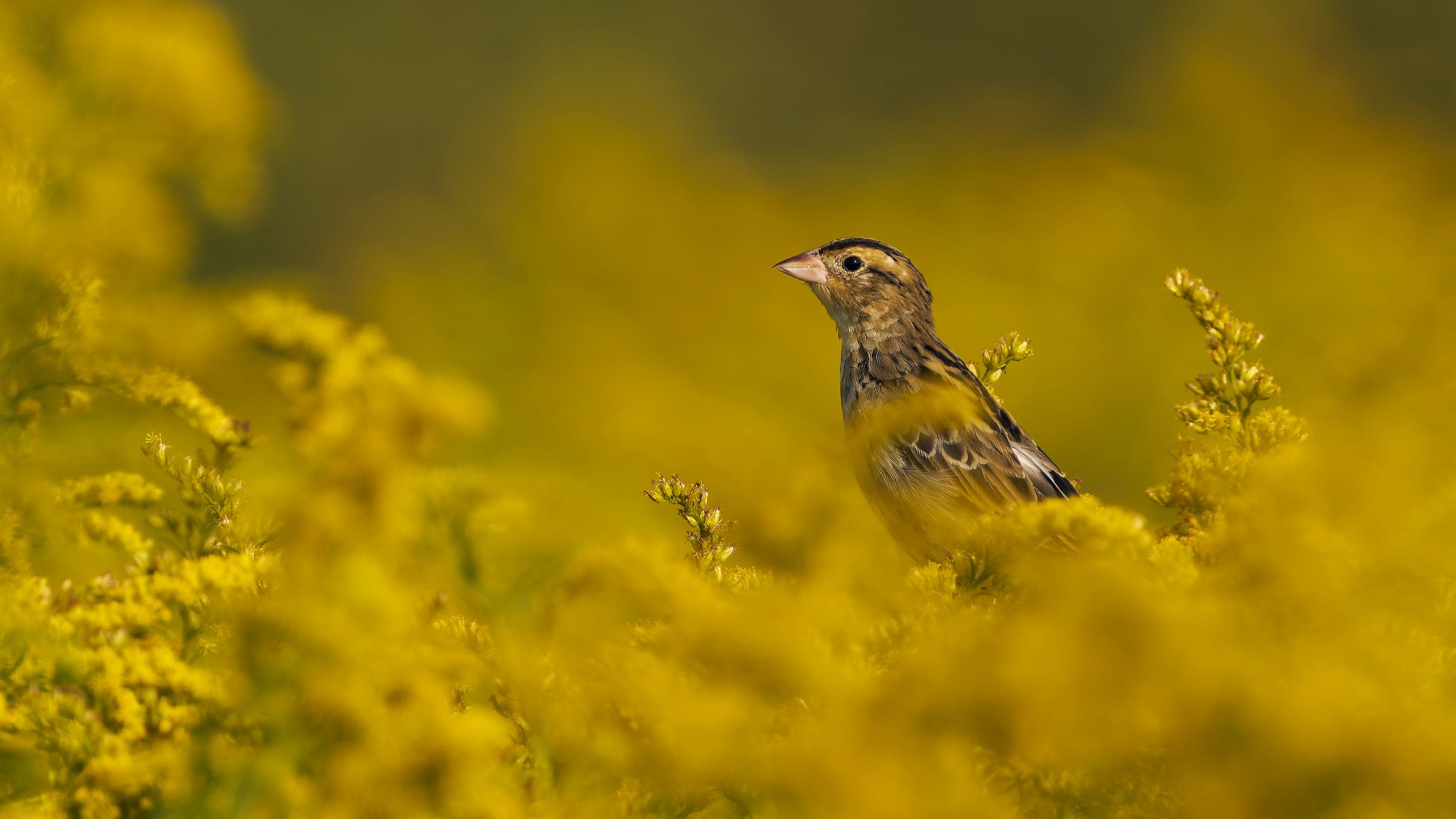
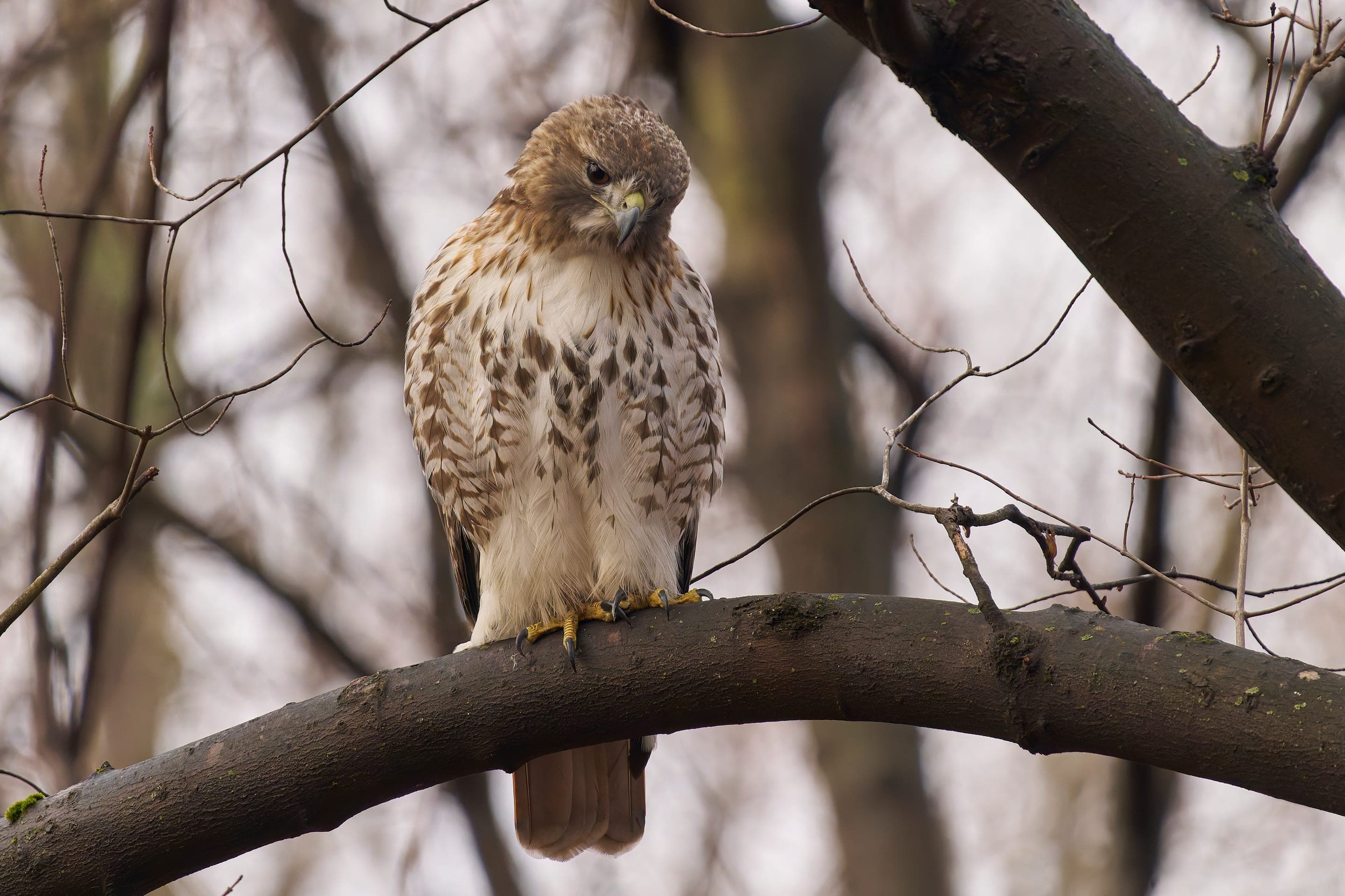
The trail's namesake — summer migrants from the South American grasslands, breeding May through July. Listen for the bubbly tumbling song over the prairie sedges.
Photo: USFWS — public domain
Loading
Loading page content
Flat creek-side prairie walk — Boulder's easiest accessible trail
Boulder Open Space & Mountain Parks
Trip Builder
Tell us your date and conditions — we'll factor in the 2.5-mi route, 49 ft of gain, and 0.5–1 hour day to assemble the gear that matters in under a minute.
Flat creek-side prairie walk — Boulder's easiest accessible trail. Editorial intro forthcoming.
Dogs: leashes required.
Bobolink Trailhead just west of the intersection of Baseline Road and Cherryvale Road in east Boulder. Free parking; trail begins from the lot.
Drive time
Personalize with your ZIP
We'll calculate drive time + a leave-by recommendation to beat the lot fill.
Practical-craft notes for this specific trail — timing, route, photo, etiquette.
The full Bobolink Trail extends south of South Boulder Road, but dogs are PROHIBITED beyond the boundary gate (OSMP wildlife protection). Turn around at the gate or you're risking a fine.
The trail's birding draw means early-morning hikers come here for quiet. Loud conversation or barking dogs disrupt the dawn chorus that visiting birders pay attention to.
The creek-side cottonwoods hold moisture; mosquitos are real June–August. Long sleeves or DEET-based repellent, especially before 8am.
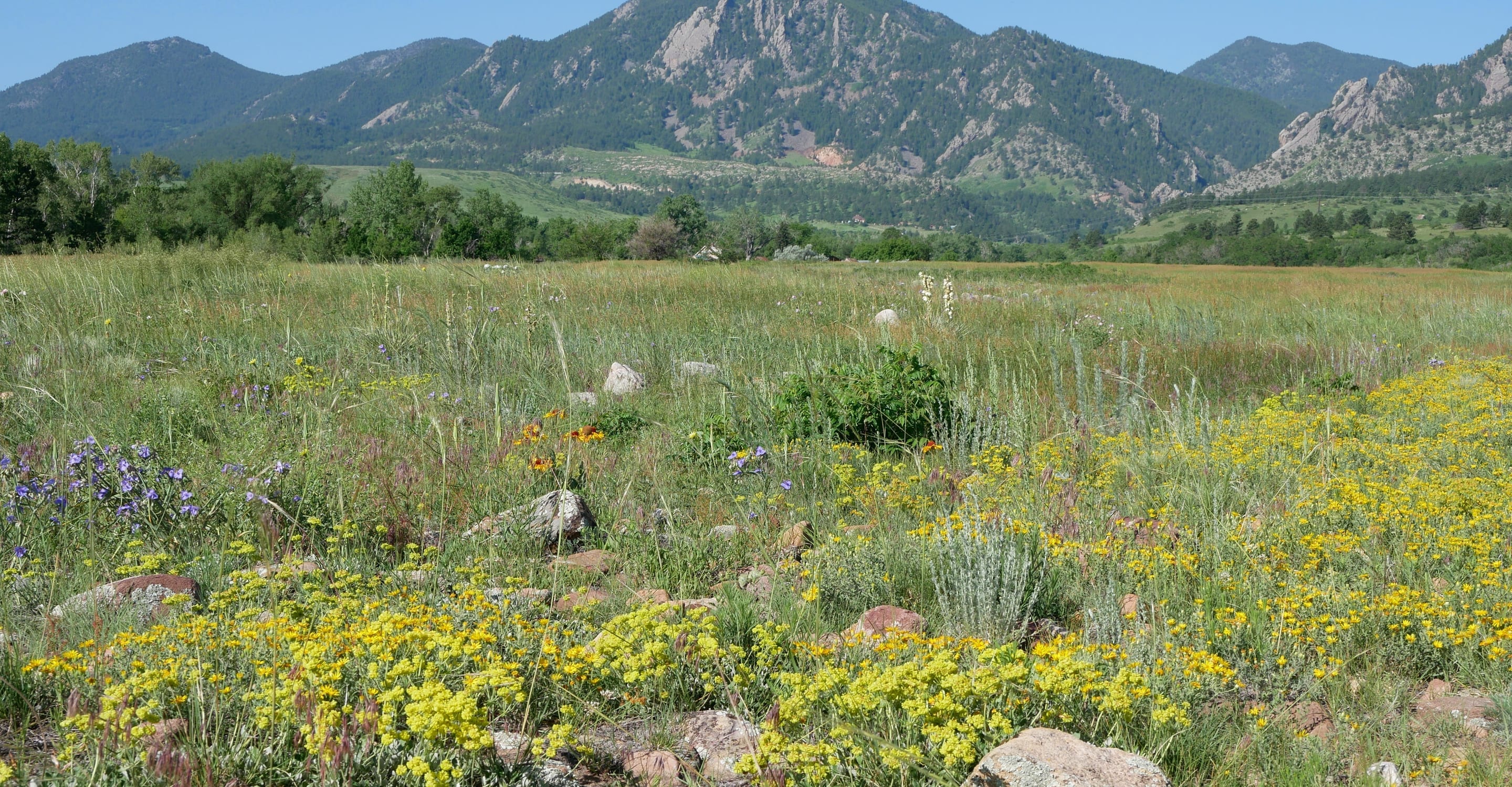
From the trail's south-facing turns, the Flatirons frame through the cottonwood canopy — a more textured composition than the open-meadow shots from Chautauqua. Best in fall when leaves turn gold.
Flat, well-graded, no rough terrain. Sneakers or trail runners work fine. The only mud is after rain — even then, the gravel base holds.
Bobolink is east Boulder's quietest free OSMP trailhead — the lot rarely fills, and the 2.5-mile creek-side walk is one of the city's most accessible. Free parking, no overnight stays.
Highlighted months offer the best conditions.
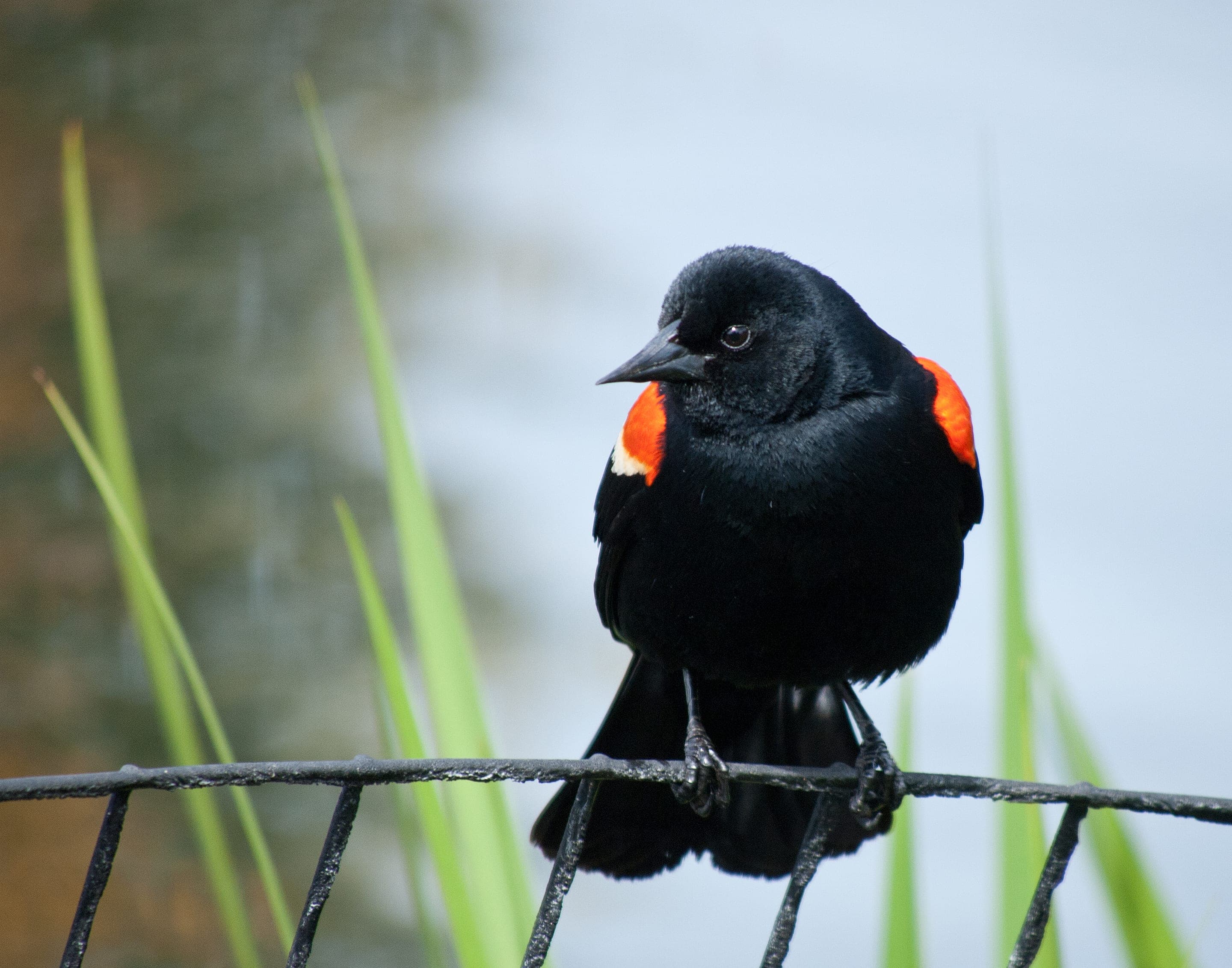
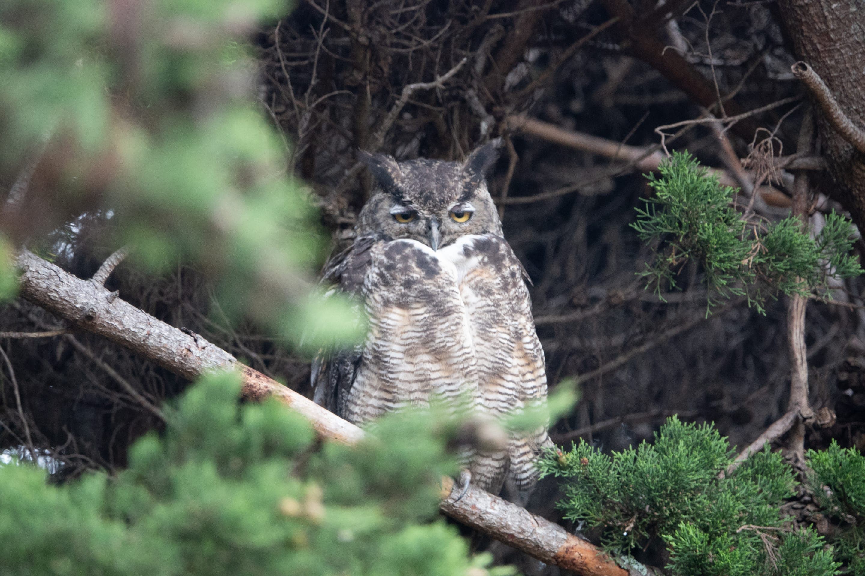
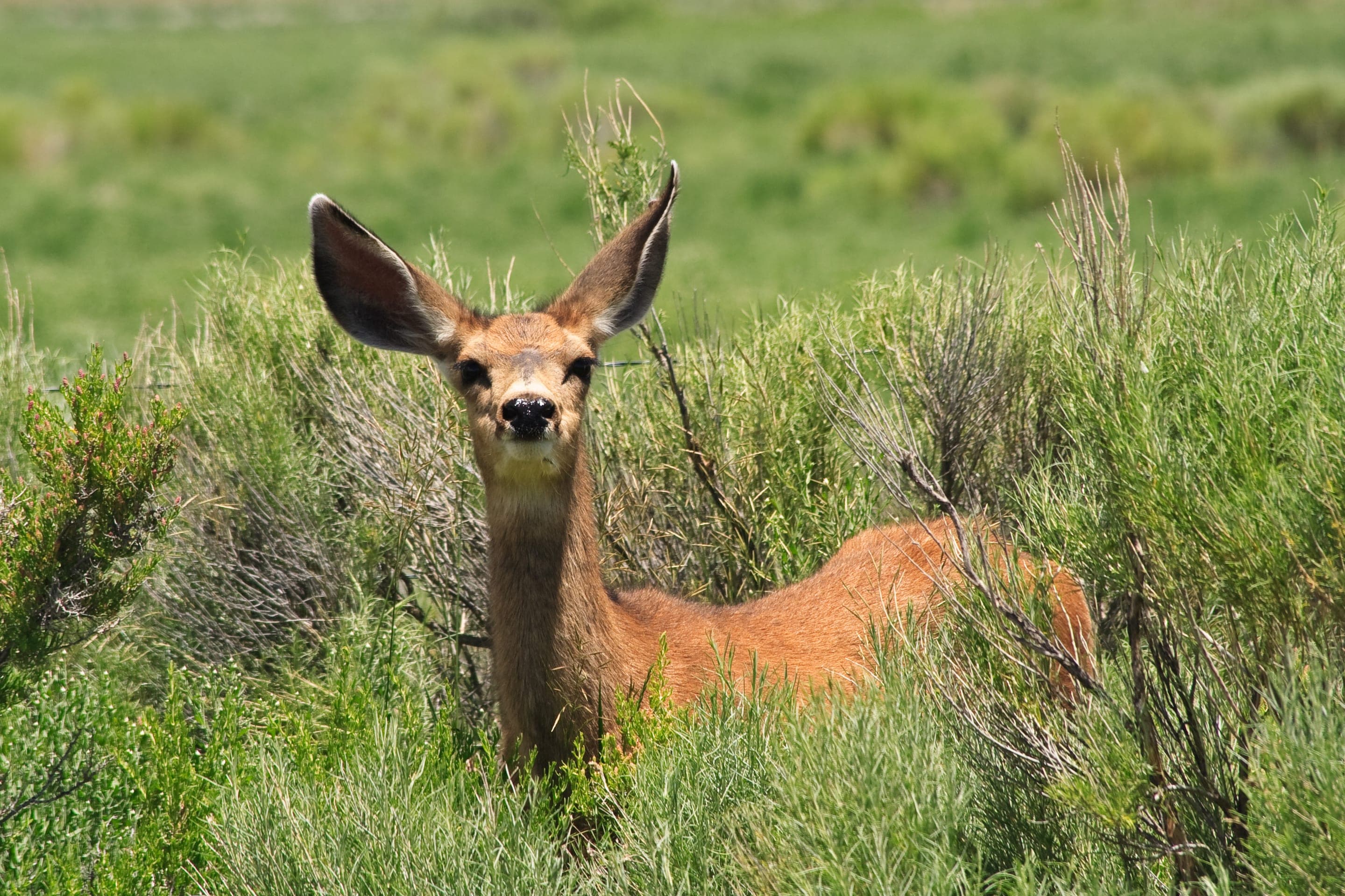
South Boulder Creek's cottonwood corridor draws Boulder's most diverse birdlife — namesake bobolinks (rare summer migrants), great horned owls in the dense canopy, and red-winged blackbirds in the prairie sedges. Mule deer browse the creek edges at dawn.

Dolichonyx oryzivorus
The trail's namesake — summer migrants from the South American grasslands, breeding May through July. Listen for the bubbly tumbling song over the prairie sedges.
Photo: USFWS — public domain

Agelaius phoeniceus
Loud territorial males on every cattail stand March through October.
Photo: USFWS — public domain

Bubo virginianus
Year-round resident of the cottonwood groves — listen for low hooting at dawn.
Photo: USFWS — public domain

Odocoileus hemionus
Photo: NPS Photo — public domain
Day-use only — overnight not permitted
Day-use only — Boulder OSMP closes lots at sunset.
Curated for this trail's terrain, elevation, and typical conditions.
Easy · Boulder · 1.8 mi · 88 ft gain
Boulder's easiest lake loop — wetlands, prairie, and Foothills views
Read the guide →Easy · Boulder · 2.4 mi · 465 ft gain
Mount Sanitas's gentle valley alternative — broad gravel uphill
Read the guide →Easy · Boulder · 3.2 mi · 780 ft gain
Boulder's gateway to the Flatirons — 3.2-mi loop from downtown OSMP
Read the guide →We publish photos after a quick moderator review. As soon as a hiker shares conditions out there, they'll appear here.