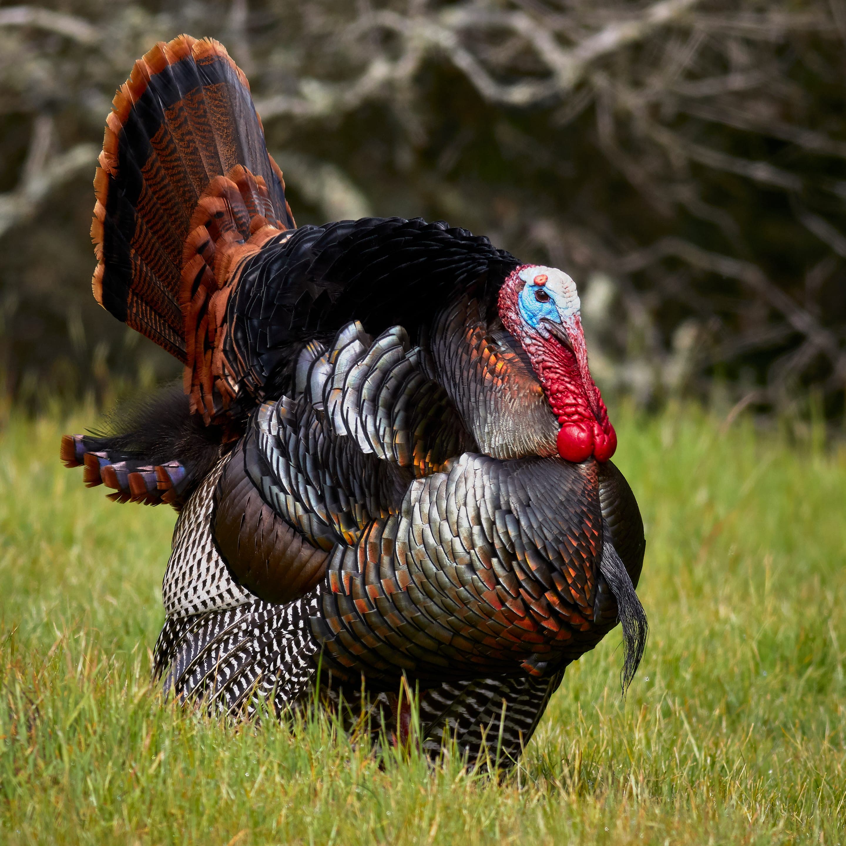
Mule deer
Odocoileus hemionus
Small herds graze the valley floor at the open margins. Most active dawn and dusk.
Photo: NPS Photo — public domain
Loading
Loading page content
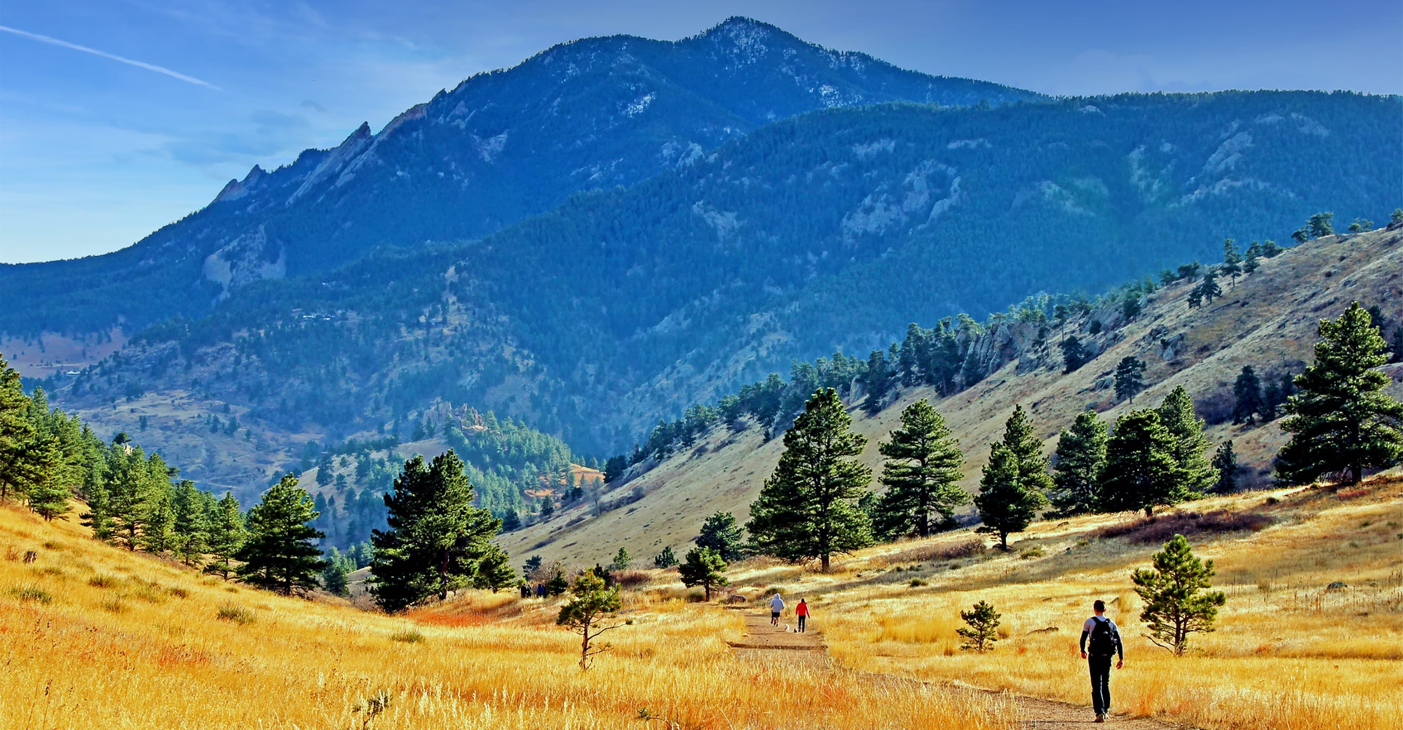
Mount Sanitas's gentle valley alternative — broad gravel uphill
Boulder Open Space & Mountain Parks
Trip Builder
Tell us your date and conditions — we'll factor in the 2.4-mi route, 465 ft of gain, and 1–1.5 hour day to assemble the gear that matters in under a minute.
Mount Sanitas's gentle valley alternative — broad gravel uphill. Editorial intro forthcoming.
Dogs: leashes required.
From downtown Boulder, take Mapleton Avenue west past the hospital to the Mount Sanitas Trailhead. Sanitas Valley Trail branches north from the trailhead — distinct from the steep Mount Sanitas summit route.
Drive time
Personalize with your ZIP
We'll calculate drive time + a leave-by recommendation to beat the lot fill.
Practical-craft notes for this specific trail — timing, route, photo, etiquette.
Sanitas Valley Trail branches north from the Sanitas Trailhead and runs parallel to the Mount Sanitas summit route, but doesn't climb the steep west face. The valley is the easier alternative; don't accidentally take the summit route.
The broad gravel valley has minimal shade. July–August afternoons hit 90°F+ with full sun exposure; start before 8am or pick a cool morning. Winter, this is one of the few snow-free OSMP trails.
The bench at the trail's high point frames Boulder, the Flatirons, and Dakota Ridge in one shot. Sunset light hits the Flatirons orange from this angle. Carry a wide-angle lens.
Wide gravel surface; trail runners are perfect. Voice and Sight off-leash tags allowed but must be displayed on the dog's collar.
No creeks, no spigot at the trailhead. Summer afternoons need a full liter even for the 2.4mi out-and-back.
Sanitas Valley shares the small Sanitas Trailhead with the steeper summit route — the lot fills by 7am on summer weekends and by 9am even on weekdays. Free parking, but no overnight stays (Boulder OSMP closes lots at sunset). The valley route is the gentler half of the day; if you can't find parking, the SKIP bus from downtown Boulder runs by hourly.
Highlighted months offer the best conditions.
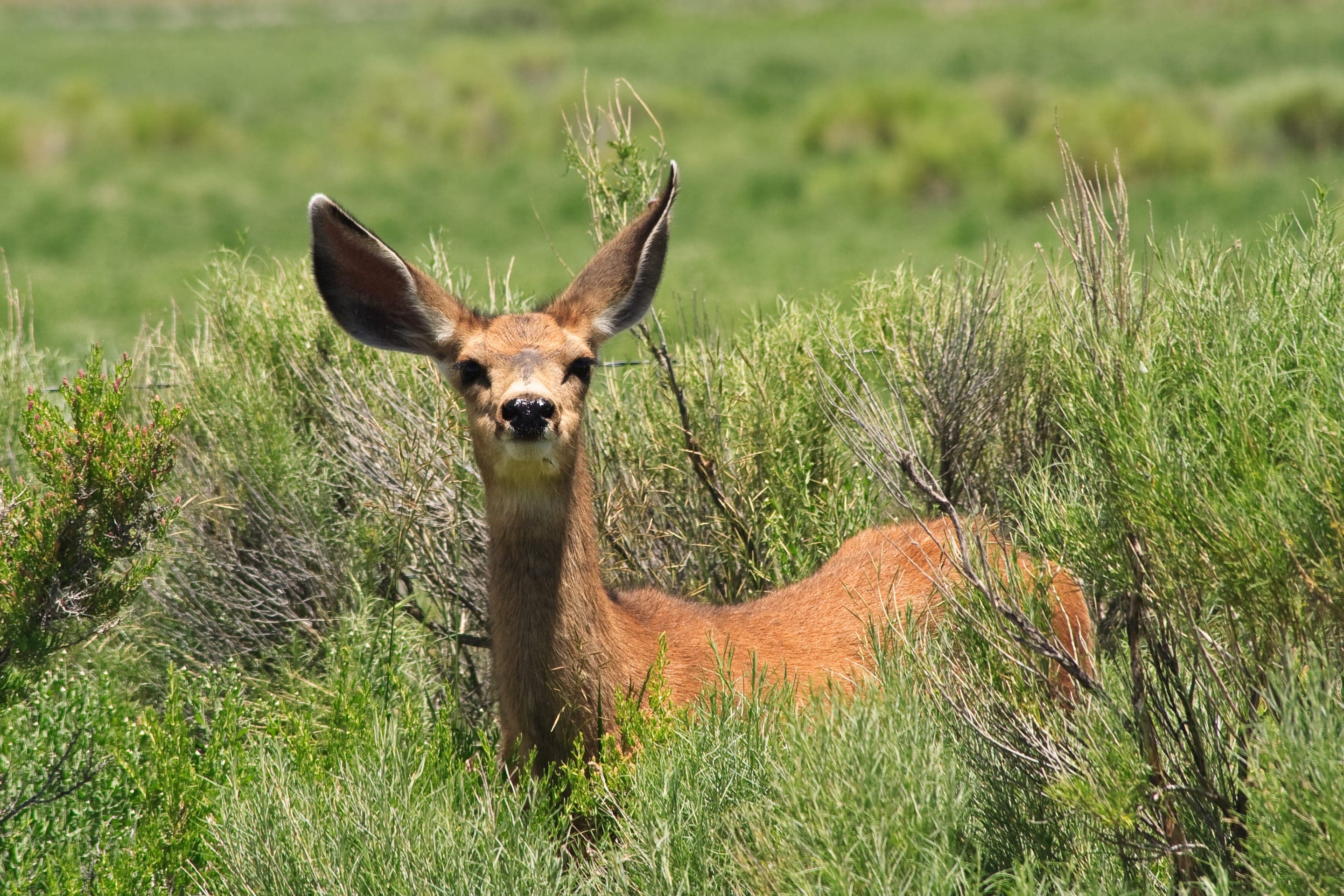
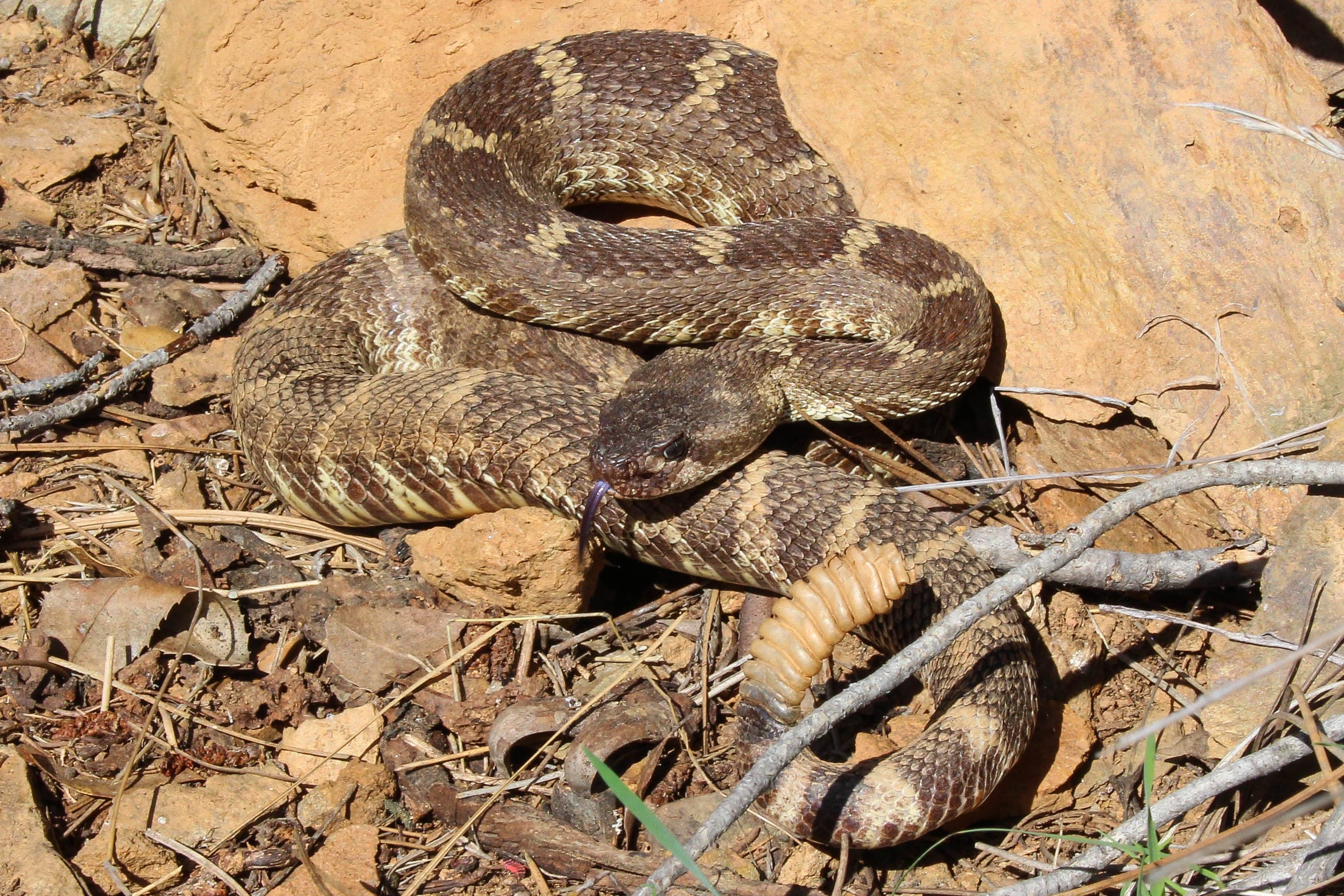
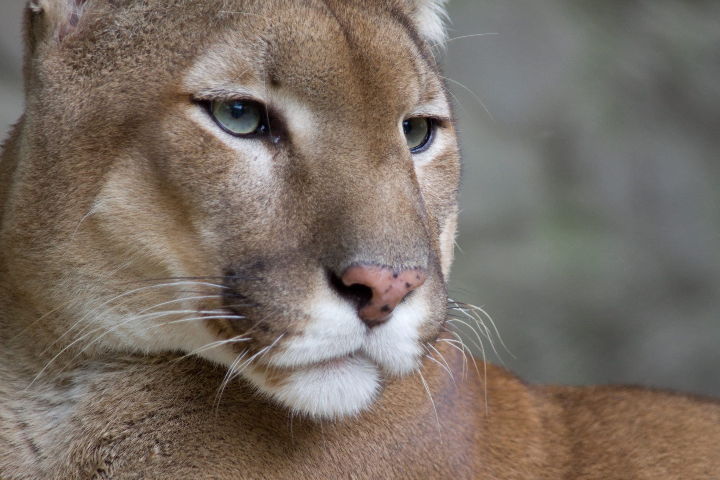
The broad gravel valley draws mule-deer herds at dawn and dusk, and the sun-warmed margins are rattlesnake territory April through October. The trail is in real mountain-lion habitat — sightings are uncommon, but OSMP posts advisories when activity picks up.

Odocoileus hemionus
Small herds graze the valley floor at the open margins. Most active dawn and dusk.
Photo: NPS Photo — public domain

Crotalus oreganus
Active on the rocky sides of the valley April through October. Stay on trail; pets leashed.
Photo: USFWS — public domain

Puma concolor
Confirmed habitat — OSMP posts seasonal advisories. Children close, dogs leashed.
Photo: NPS Photo / Neal Herbert — public domain

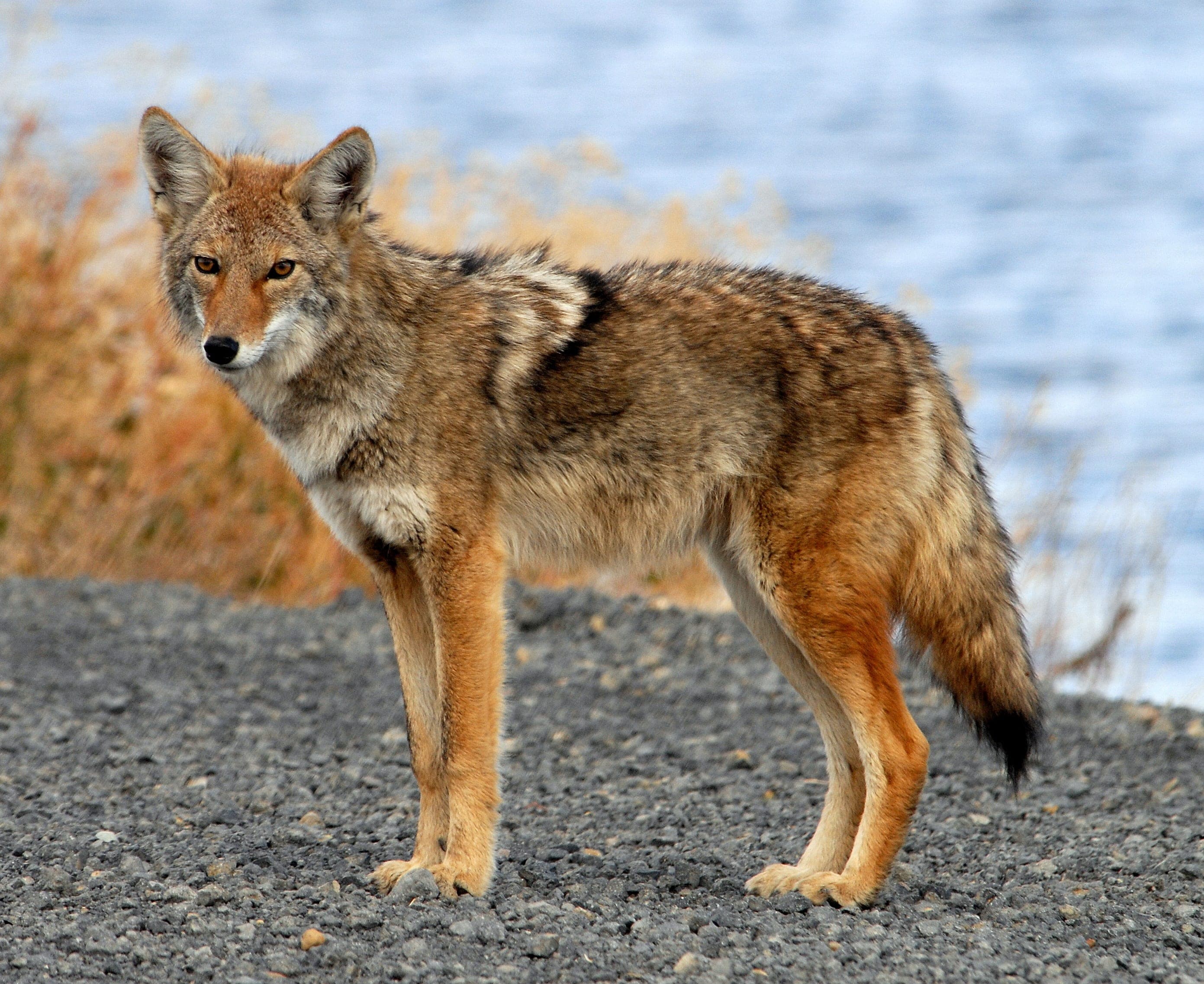
Canis latrans
Photo: USFWS — public domain
Day-use only — overnight not permitted
Day-use only. Closest car camping is Boulder Mountain Lodge (drive-up) or Reverend's Ridge (45min).
Curated for this trail's terrain, elevation, and typical conditions.
Same parking, same logistics — if your plans need to flex, here's what else is reachable from Sanitas Trailhead.
Easy · Boulder · 2 mi · 416 ft gain
Chautauqua's gradual beginner climb toward the Flatirons
Read the guide →Easy · Boulder · 3.2 mi · 780 ft gain
Boulder's gateway to the Flatirons — 3.2-mi loop from downtown OSMP
Read the guide →Easy · Boulder · 0.4 mi · 75 ft gain
Half-mile interpretive loop at NCAR's Mesa Laboratory
Read the guide →We publish photos after a quick moderator review. As soon as a hiker shares conditions out there, they'll appear here.