Mule deer
Odocoileus hemionus
Resident herd grazes the lower meadow at dawn and dusk year-round.
Photo: NPS Photo — public domain
Loading
Loading page content
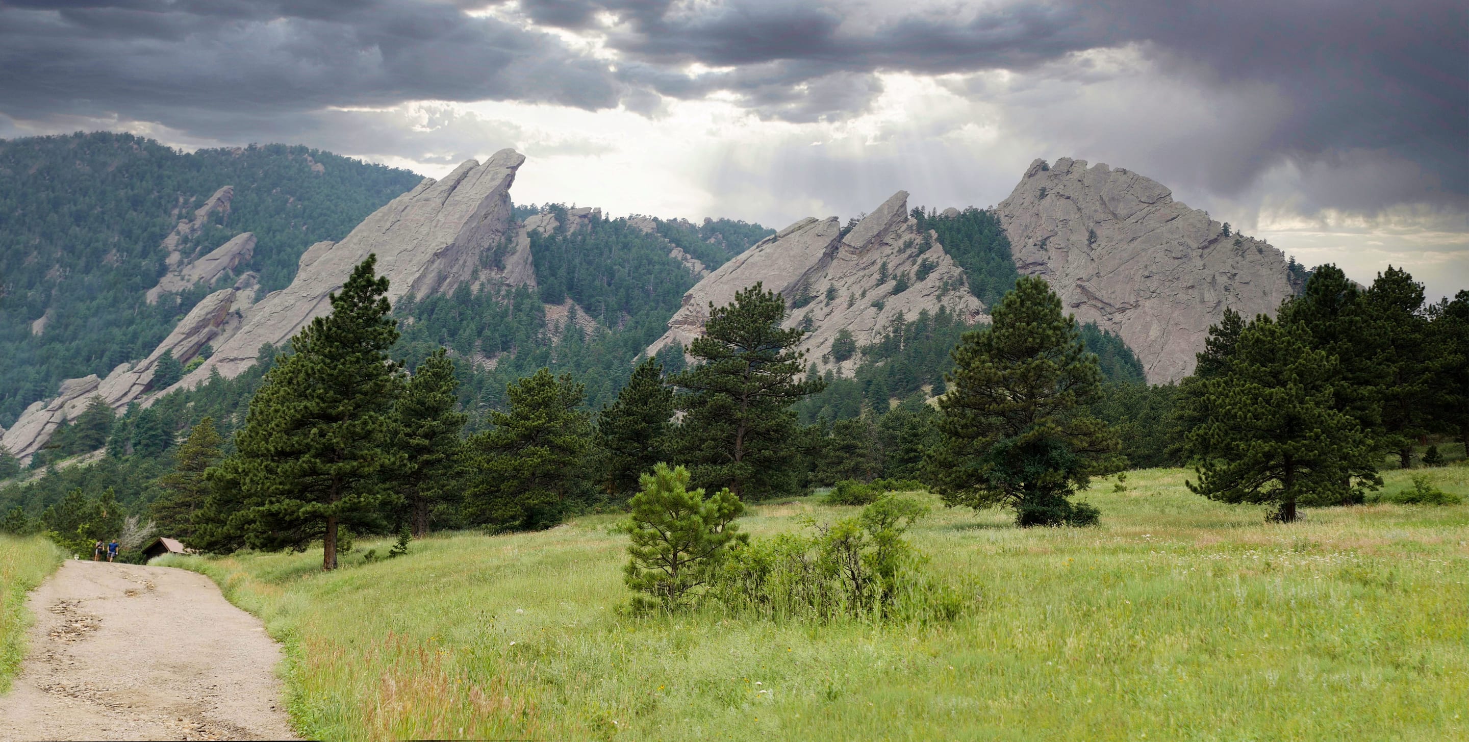
Boulder's gateway to the Flatirons — 3.2-mi loop from downtown OSMP
Boulder Open Space & Mountain Parks
Trip Builder
Tell us your date and conditions — we'll factor in the 3.2-mi route, 780 ft of gain, and 1.5–3 hour day to assemble the gear that matters in under a minute.
Boulder's gateway to the Flatirons — 3.2-mi loop from downtown OSMP. Editorial intro forthcoming.
Dogs: leashes required.
From downtown Boulder, take Baseline Road west to Chautauqua Park. Free shuttle available from downtown Boulder Transit Center on weekends May–October.
Drive time
Personalize with your ZIP
We'll calculate drive time + a leave-by recommendation to beat the lot fill.
Practical-craft notes for this specific trail — timing, route, photo, etiquette.
The Chautauqua Express runs free from downtown Boulder Transit Center every 20 minutes on summer/early-fall weekends. Driving up after 7am means circling the lot or parking blocks away on residential streets.
The signage uses 'Chautauqua' loosely. The classic 3.2mi route follows Chautauqua Trail south to Bluebell-Baird, then back via the Mesa Trail. Skip the unsigned spur tracks left by climbers — they don't connect.
The lower meadow's broad opening with the Flatirons backdrop is Boulder's most photographed scene. Sunrise side-lights the rock faces; sunset gives the iconic red glow. From the parking lot, walk 5 minutes south on the Chautauqua Trail.
Voice-and-Sight Tag privileges DON'T apply on the main Chautauqua Trail (only on designated VST trails further out). Fines are real: $50–$150 first offense.
Afternoon thunderstorms build quickly over the Flatirons July–August. The exposed upper trail above the meadow has no cover. If you can hear thunder or see anvil clouds west, descend immediately.
Chautauqua Park is Boulder's most-visited trailhead — and it shows. The lot fills by 6am–7am on summer weekends and circling becomes the day's first hike. Free parking when you can get it, but the smart move May through October is the free Chautauqua Express shuttle from downtown. No overnight stays (OSMP closes at sunset).
Highlighted months offer the best conditions.
Chautauqua's meadow is a known winter elk-herd corridor and the cliffs above host nesting prairie falcons March through July. Real mountain-lion habitat — sightings are rare but OSMP posts advisories when activity picks up.

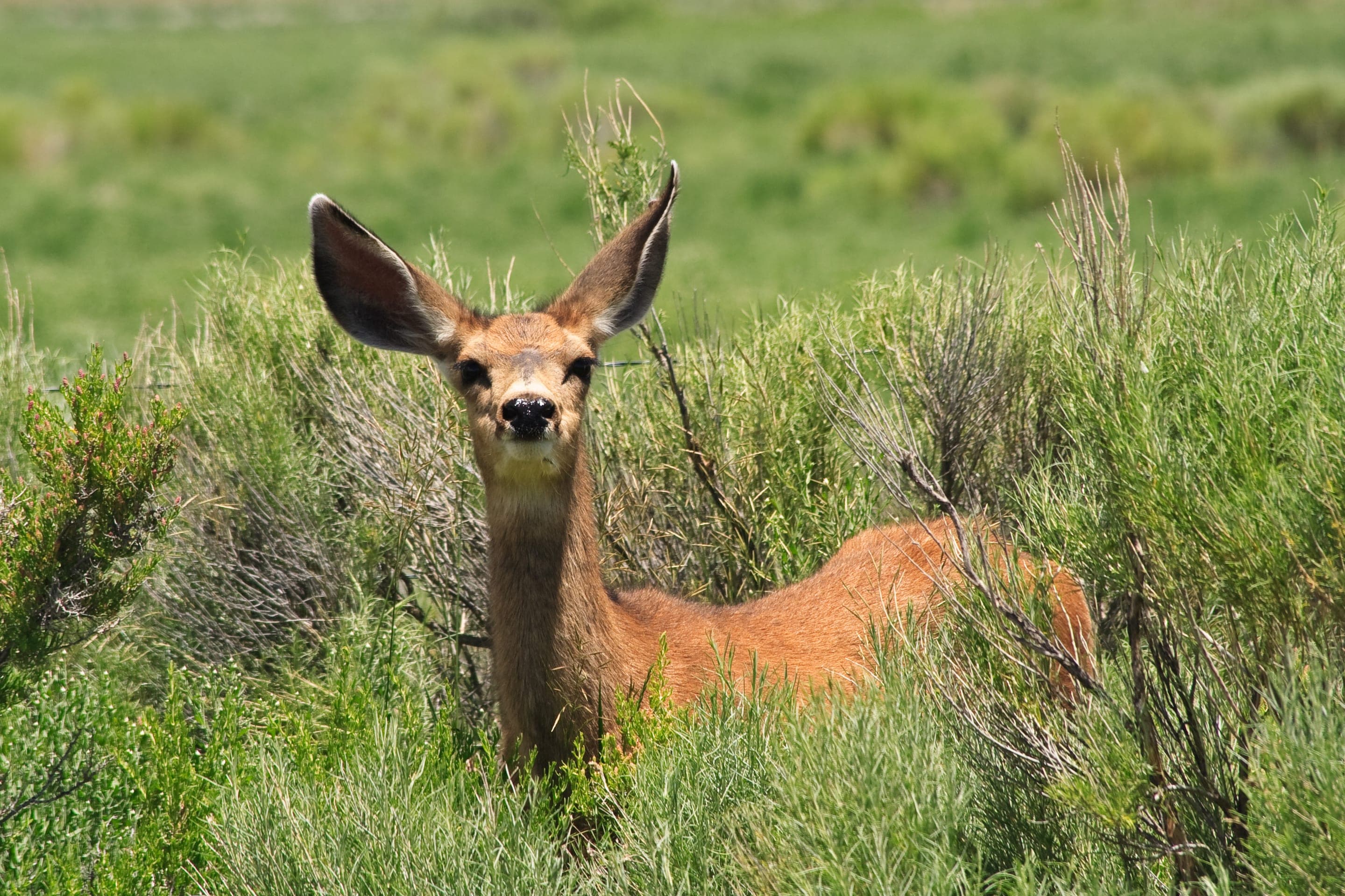
Odocoileus hemionus
Resident herd grazes the lower meadow at dawn and dusk year-round.
Photo: NPS Photo — public domain

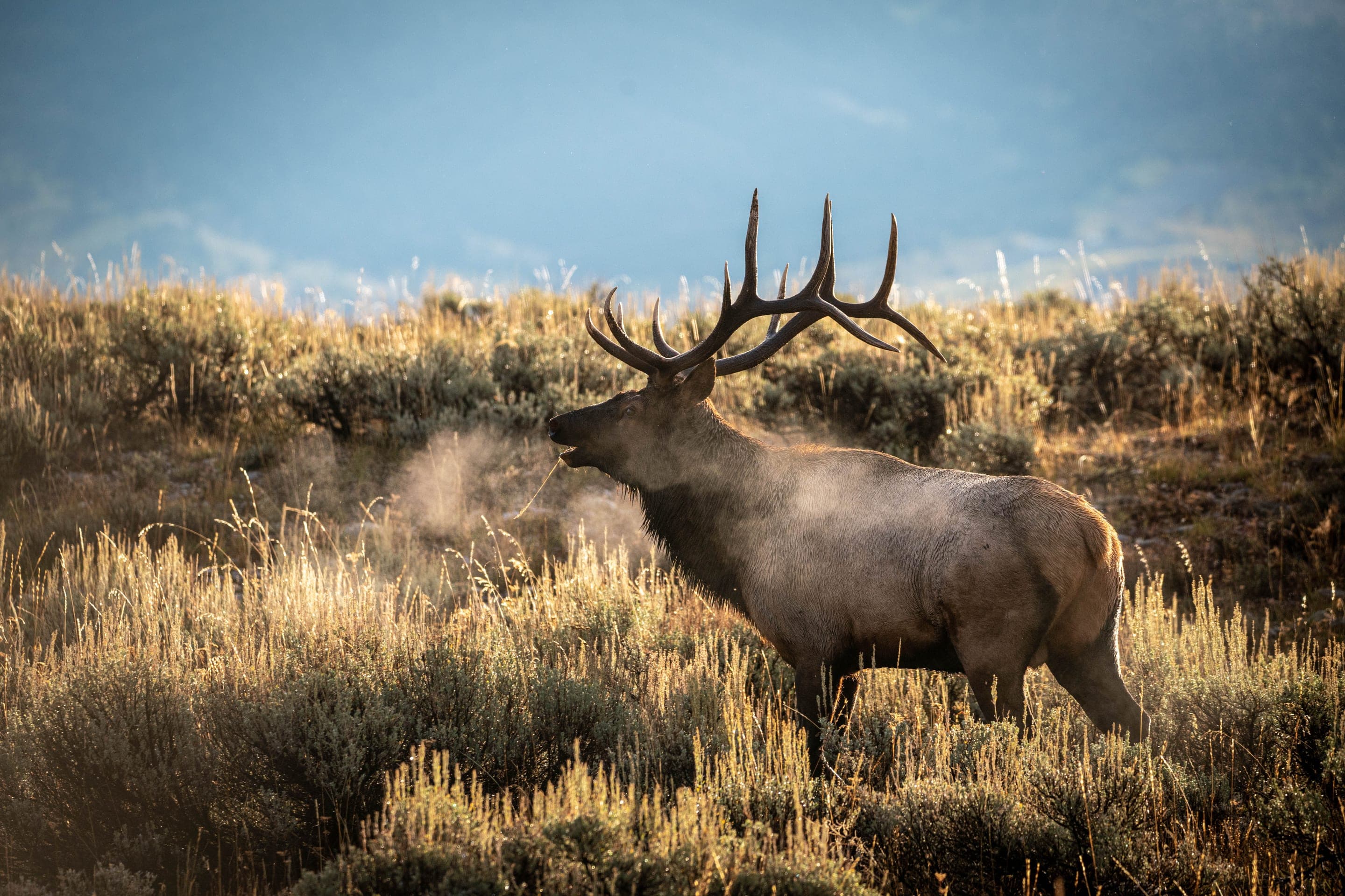
Cervus canadensis nelsoni
Wintering herd from the high country uses the Chautauqua meadow corridor late fall through spring. Maintain 75ft minimum distance.
Photo: Diana Robinson, CC BY 2.0 — Wikimedia Commons

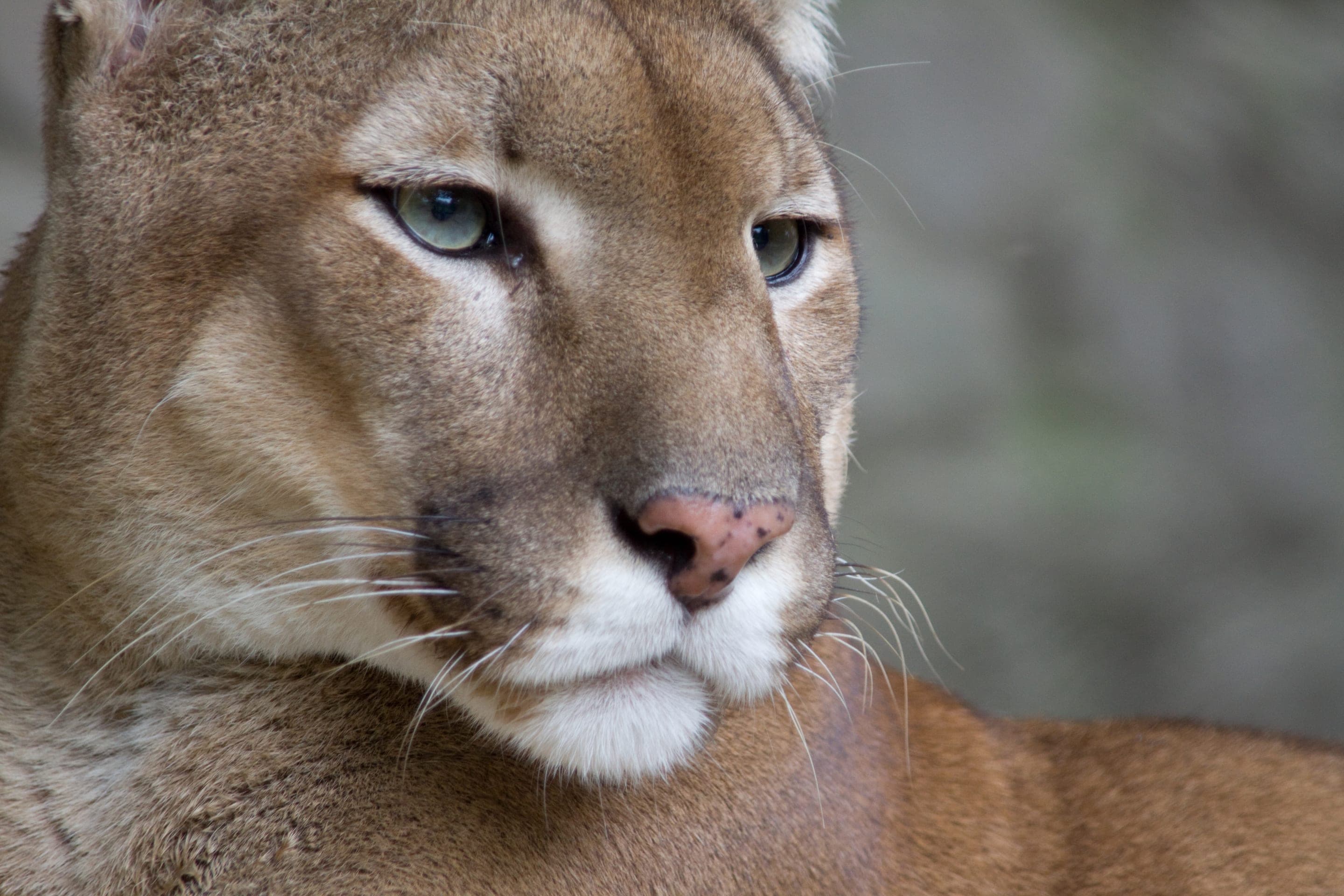
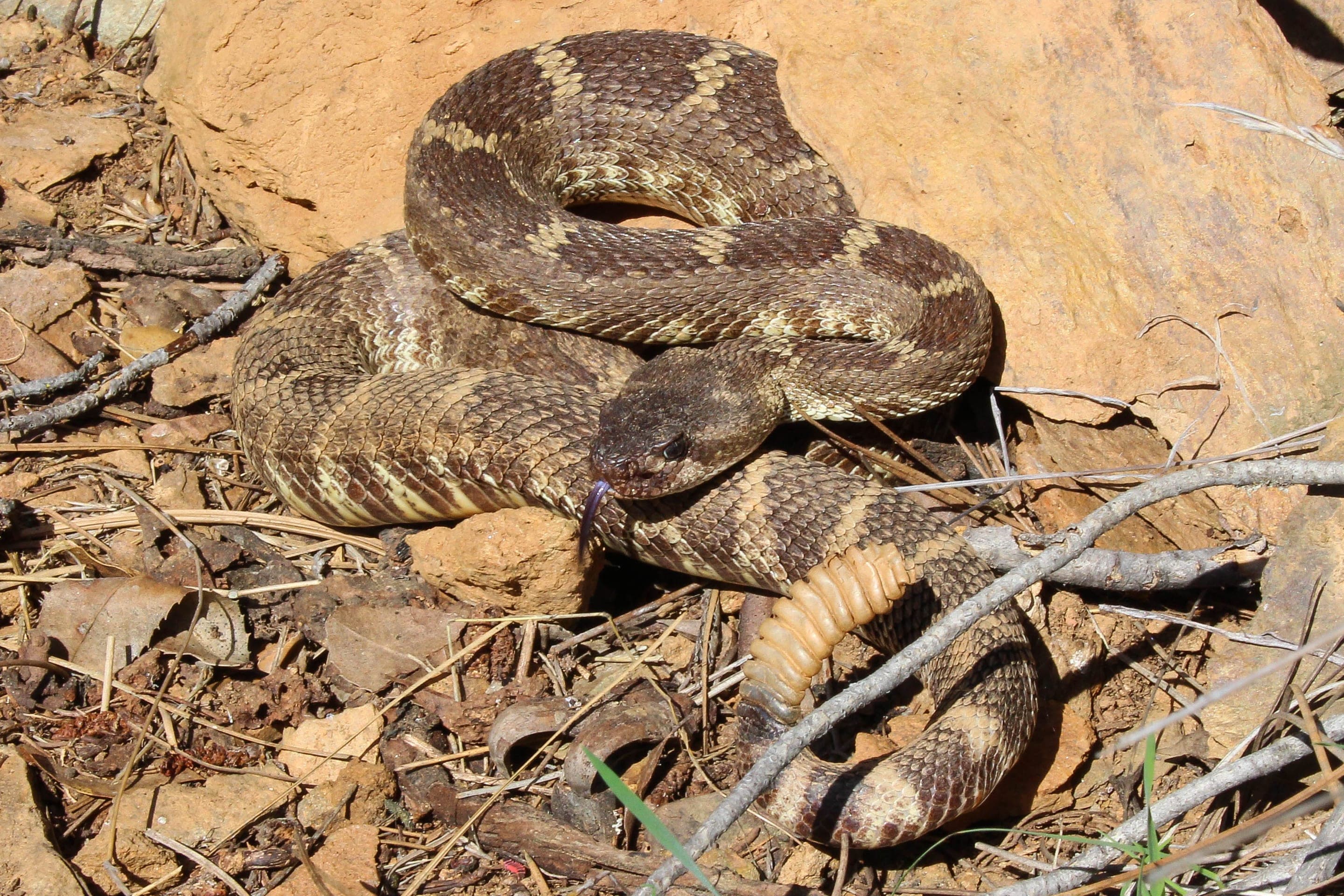
Puma concolor
Confirmed habitat. Watch OSMP advisories at the trailhead kiosk; never run if encountered.
Photo: NPS Photo / Neal Herbert — public domain

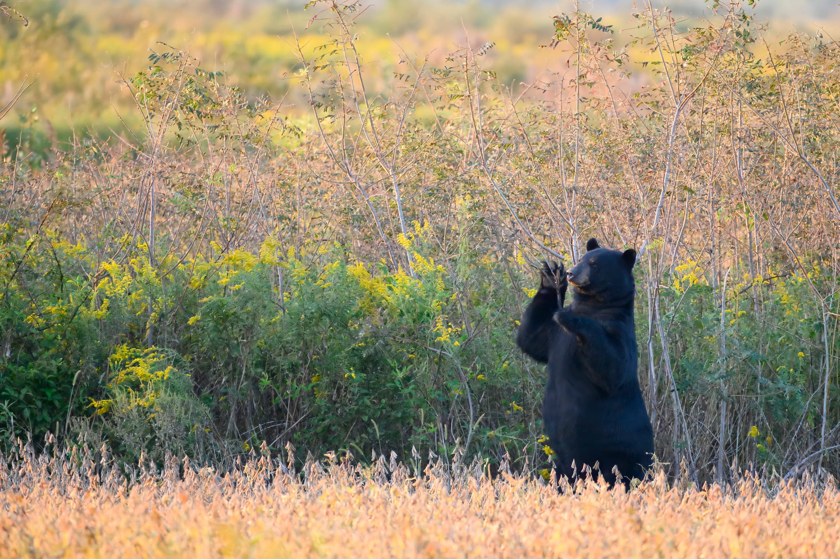
Ursus americanus
Active May through October — increasing sightings in fall before denning. Make noise on blind corners.
Photo: USFWS — public domain
Day-use only — overnight not permitted
Boulder OSMP closes all lots at sunset; no backcountry camping permitted on any Chautauqua-connected trail. Closest car camping: Reverend's Ridge (Golden Gate Canyon State Park, ~45min drive). Closest backcountry permits: Indian Peaks Wilderness (~1hr drive to Brainard).
Curated for this trail's terrain, elevation, and typical conditions.
Same parking, same logistics — if your plans need to flex, here's what else is reachable from Chautauqua Park Trailhead.
Hard · 3.4 mi · 1,400 ft gain · 2–4 hours
1,400 ft climb to a 7,040 ft sandstone arch — 3.4 mi RT from Chautauqua
Read the guide →Hard · 5.5 mi · 2,850 ft gain · 3–6 hours
Boulder OSMP's high point — 8,461 ft via West Ridge or Fern Canyon
Read the guide →Hard · 6.8 mi · 2,950 ft gain · 3.5–6 hours
Boulder OSMP's highest summit at 8,549 ft — 6.8 mi RT via Shadow Canyon
Read the guide →Easy · 2 mi · 416 ft gain · 1–1.5 hours
Chautauqua's gradual beginner climb toward the Flatirons
Read the guide →Hard · Boulder · 3.4 mi · 1,400 ft gain
1,400 ft climb to a 7,040 ft sandstone arch — 3.4 mi RT from Chautauqua
Read the guide →Hard · Boulder · 5.5 mi · 2,850 ft gain
Boulder OSMP's high point — 8,461 ft via West Ridge or Fern Canyon
Read the guide →Hard · Boulder · 6.8 mi · 2,950 ft gain
Boulder OSMP's highest summit at 8,549 ft — 6.8 mi RT via Shadow Canyon
Read the guide →We publish photos after a quick moderator review. As soon as a hiker shares conditions out there, they'll appear here.