American pika
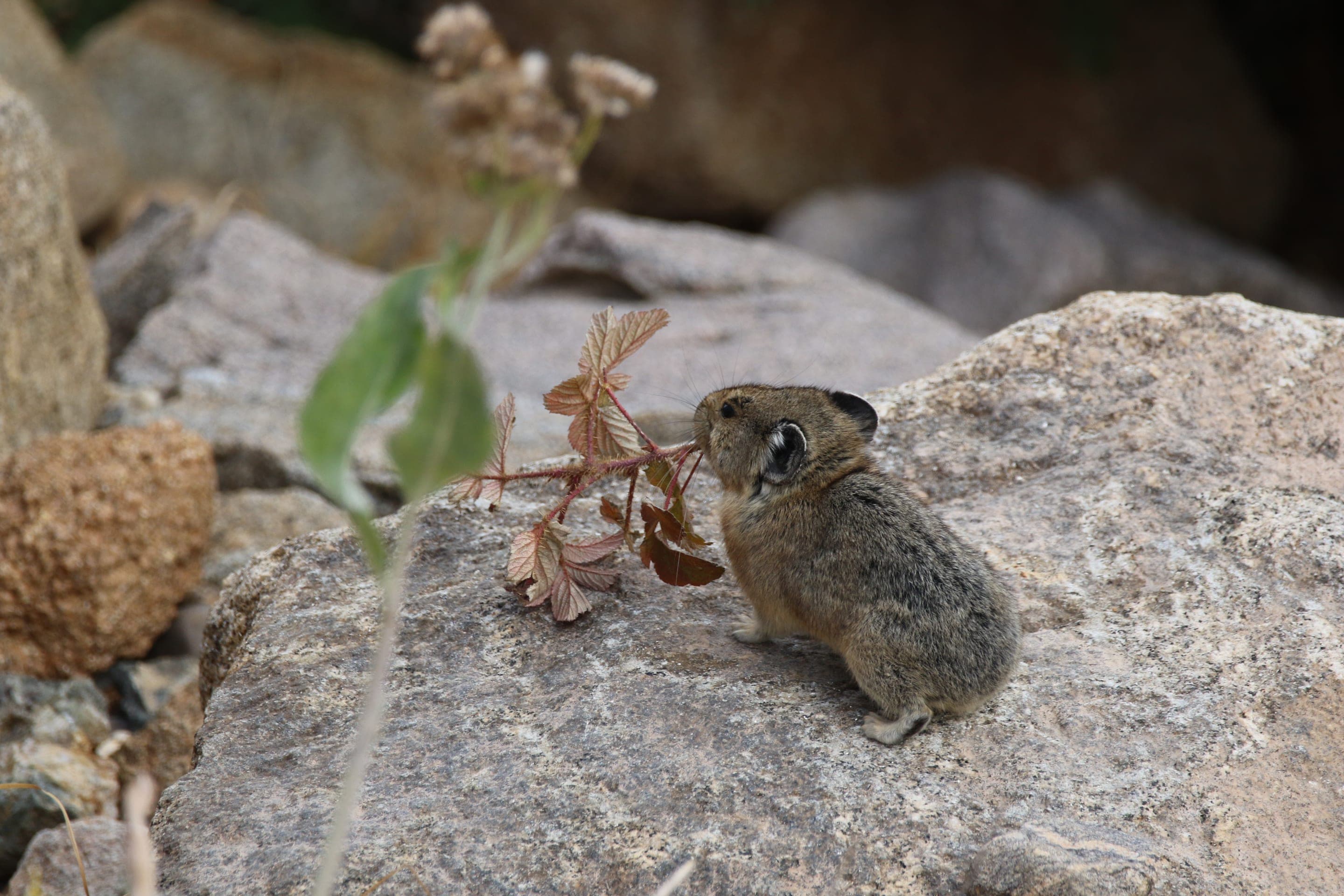
Ochotona princeps
Photo: NPS Photo, Rocky Mountain NP — public domain
Loading
Loading page content
The Indian Peaks' highest named lake at 12,061ft via Arapaho Pass
Indian Peaks Wilderness
Trip Builder
Tell us your date and conditions — we'll factor in the 7.1-mi route, 1,945 ft of gain, and 4–5.5 hour day to assemble the gear that matters in under a minute.
The Indian Peaks' highest named lake at 12,061ft via Arapaho Pass. Editorial intro forthcoming.
Dogs: leashes required.
From Nederland, take CO-119 south 0.5 miles, turn west onto Boulder County Road 130 toward Eldora. Continue through Eldora; pavement ends, follow the rough dirt road 5 miles to the Fourth of July Trailhead. Free parking — arrive before 6am summer weekends.
Drive time
Personalize with your ZIP
We'll calculate drive time + a leave-by recommendation to beat the lot fill.
Practical-craft notes for this specific trail — timing, route, photo, etiquette.
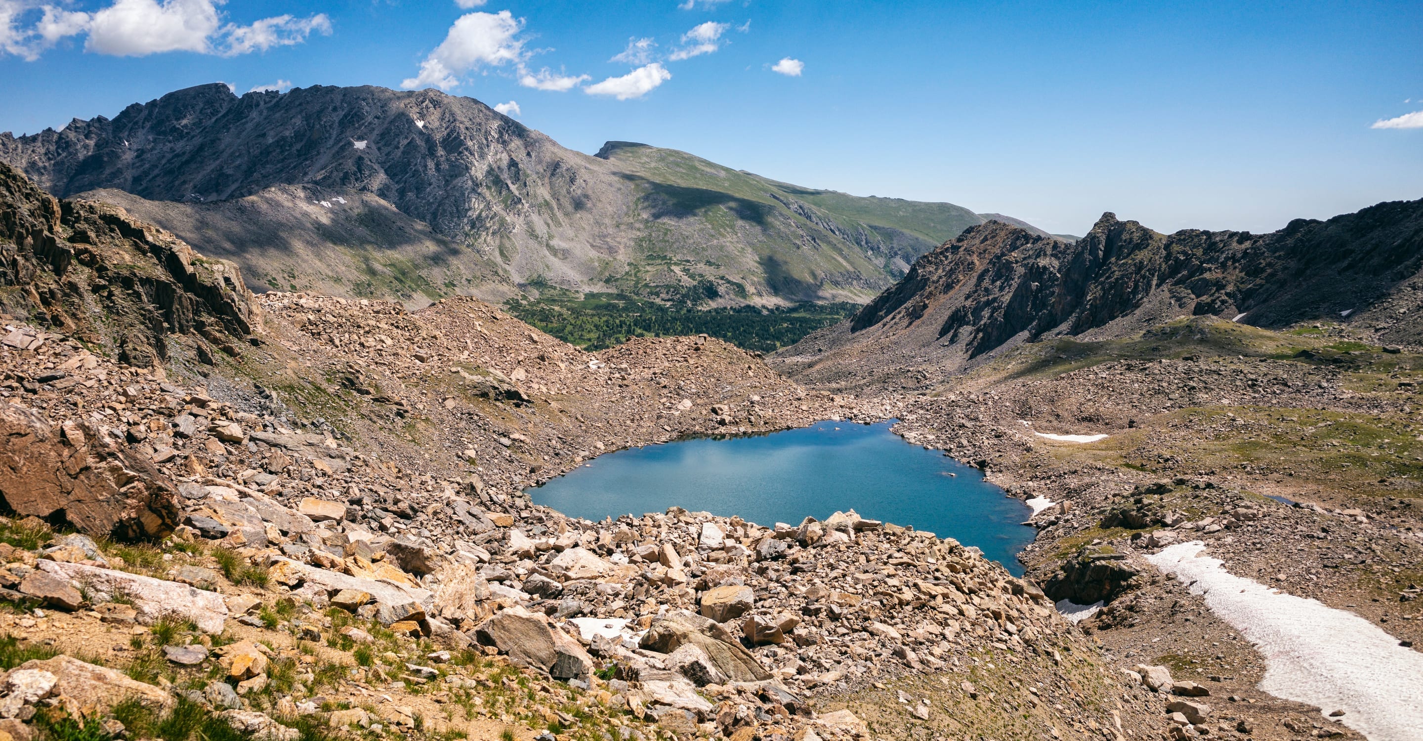
Lake Dorothy at 12,061ft holds snow most of the year. The realistic summer window is late June through mid-September. Outside that, expect snow-covered talus and ice.
From Fourth of July Trailhead, follow Arapaho Pass Trail past the Diamond Lake junction (stay right). Continue 1.5mi over Arapaho Pass to Lake Dorothy. Total 8mi RT with 1,300ft of gain.
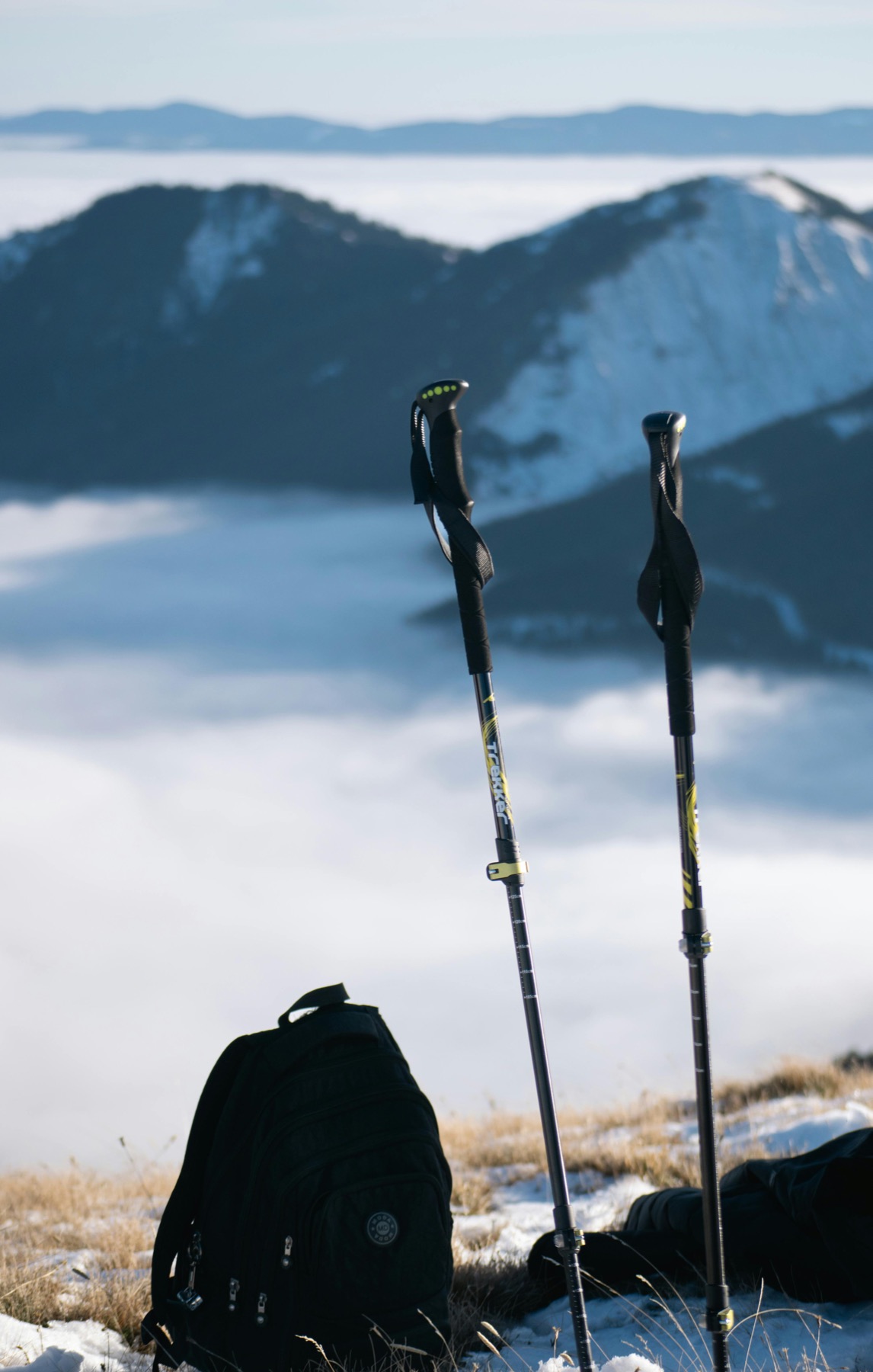
Even in peak summer, snowfields linger on the Arapaho Pass climb. Trekking poles essential for the descent; microspikes useful for shoulder-season ice.
The Arapaho Pass crossing has zero protection from lightning. Building cumulus by 11am means turn-around time. Pre-dawn start (5am from trailhead) is the safe approach.
From Arapaho Pass itself (12,750ft), the view east toward Pawnee Peak and the Continental Divide is one of Colorado's best high-passes. Bring an ultrawide; the scale is hard to capture otherwise.
Lake Dorothy shares the Fourth of July Trailhead with Diamond Lake — free, no permit, but small lot and a rough dirt-road approach. 90+ minutes from Boulder; arrive by 6am summer weekends. The 8-mile out-and-back puts you at 12,061ft — Indian Peaks' highest named lake — so plan around afternoon storms.
Highlighted months offer the best conditions.
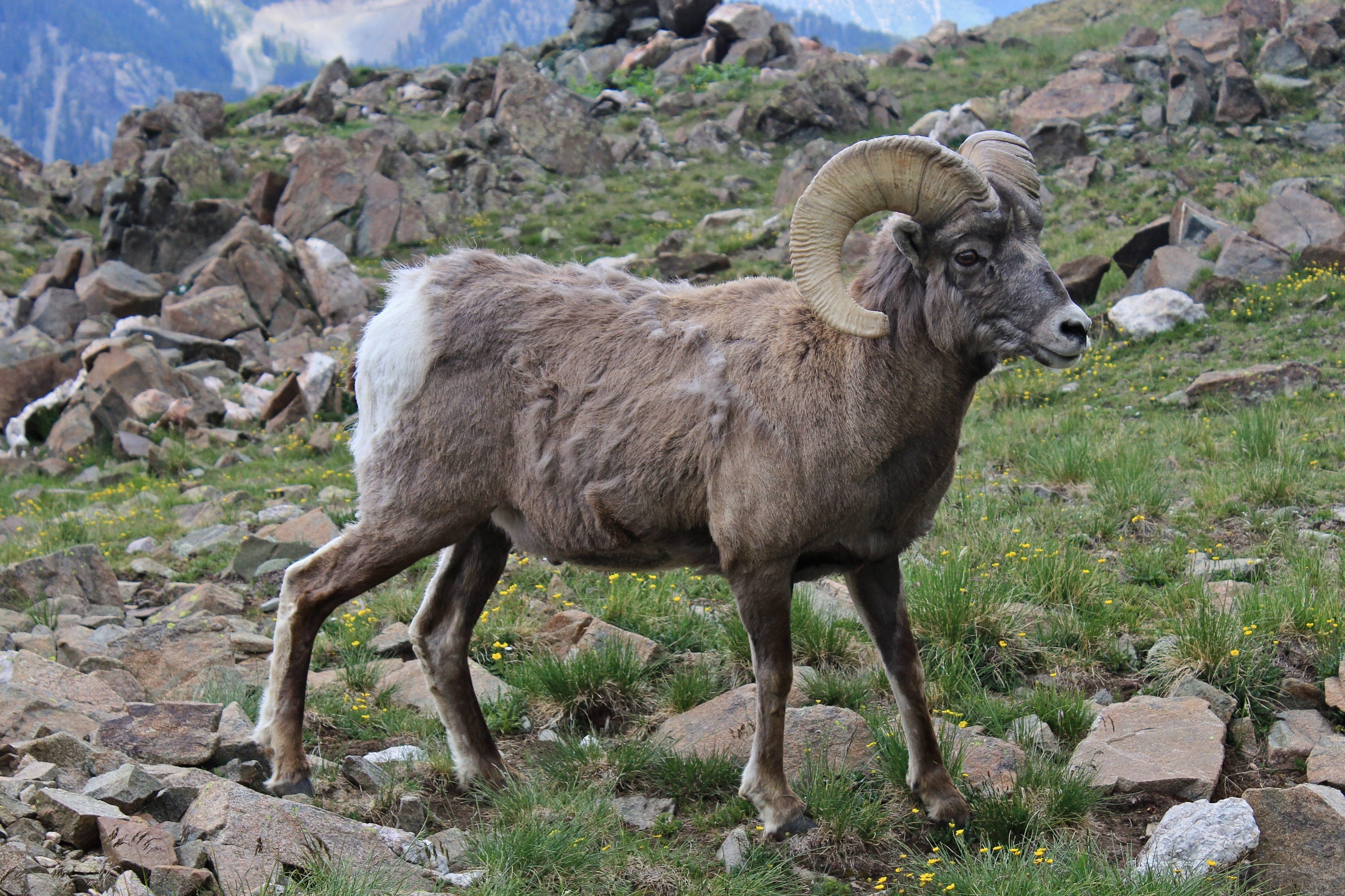
At 12,061ft, Lake Dorothy is full alpine — pikas and marmots define the talus, white-tailed ptarmigan camouflage against the tundra, and the occasional mountain goat or bighorn shows on the upper slopes above the pass.

Ochotona princeps
Photo: NPS Photo, Rocky Mountain NP — public domain

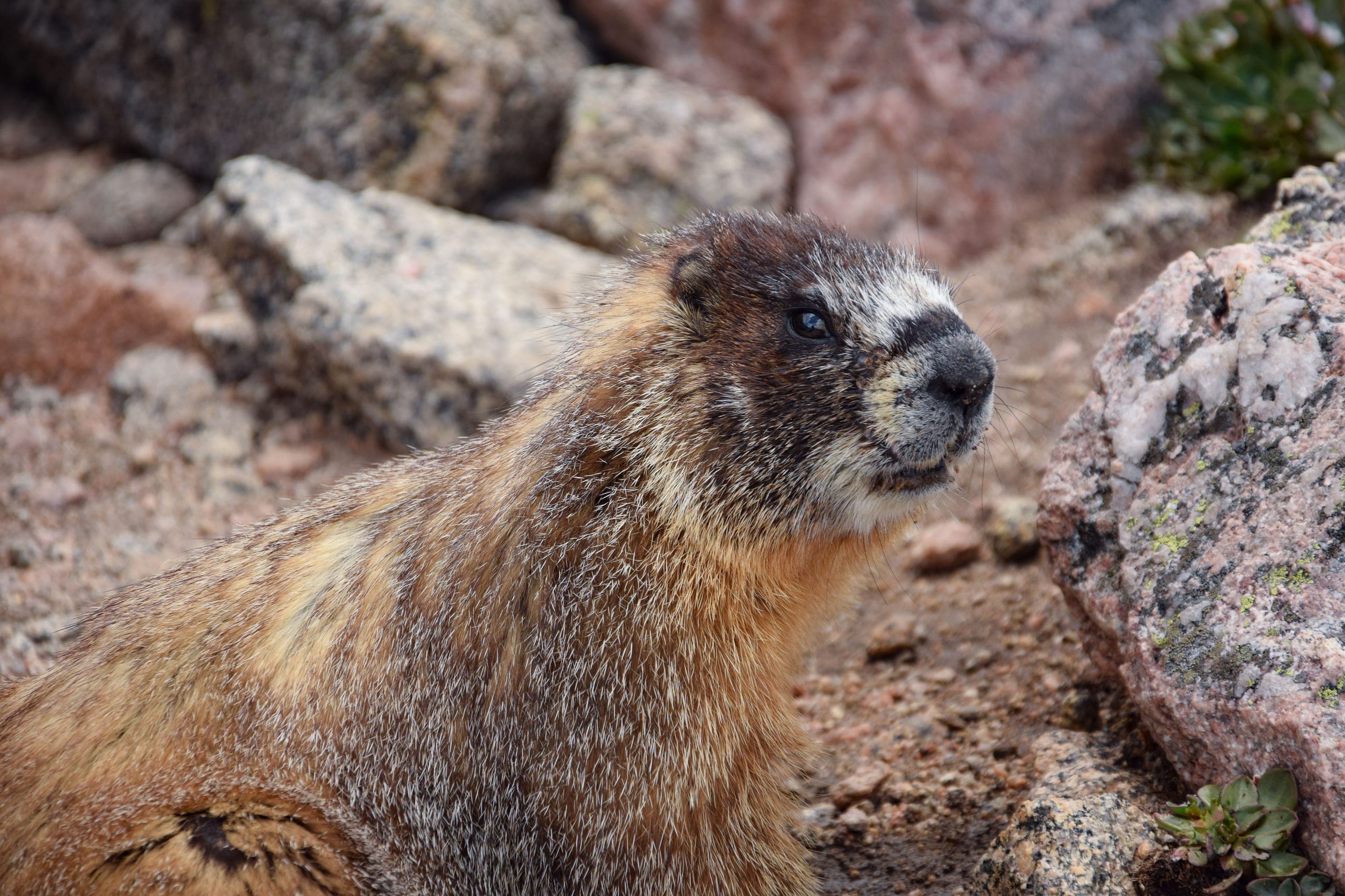
Marmota flaviventris
Photo: USFWS — public domain

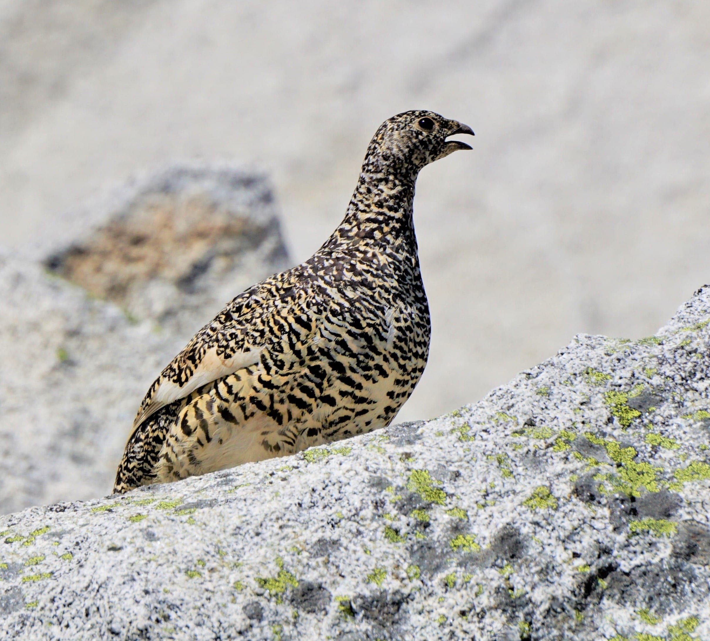
Lagopus leucura
Year-round alpine specialist — perfectly camouflaged (white in winter, mottled brown in summer). Look on the upper Arapaho Pass slopes.
Photo: Andy Reago & Chrissy McClarren, CC BY 2.0 — Wikimedia Commons

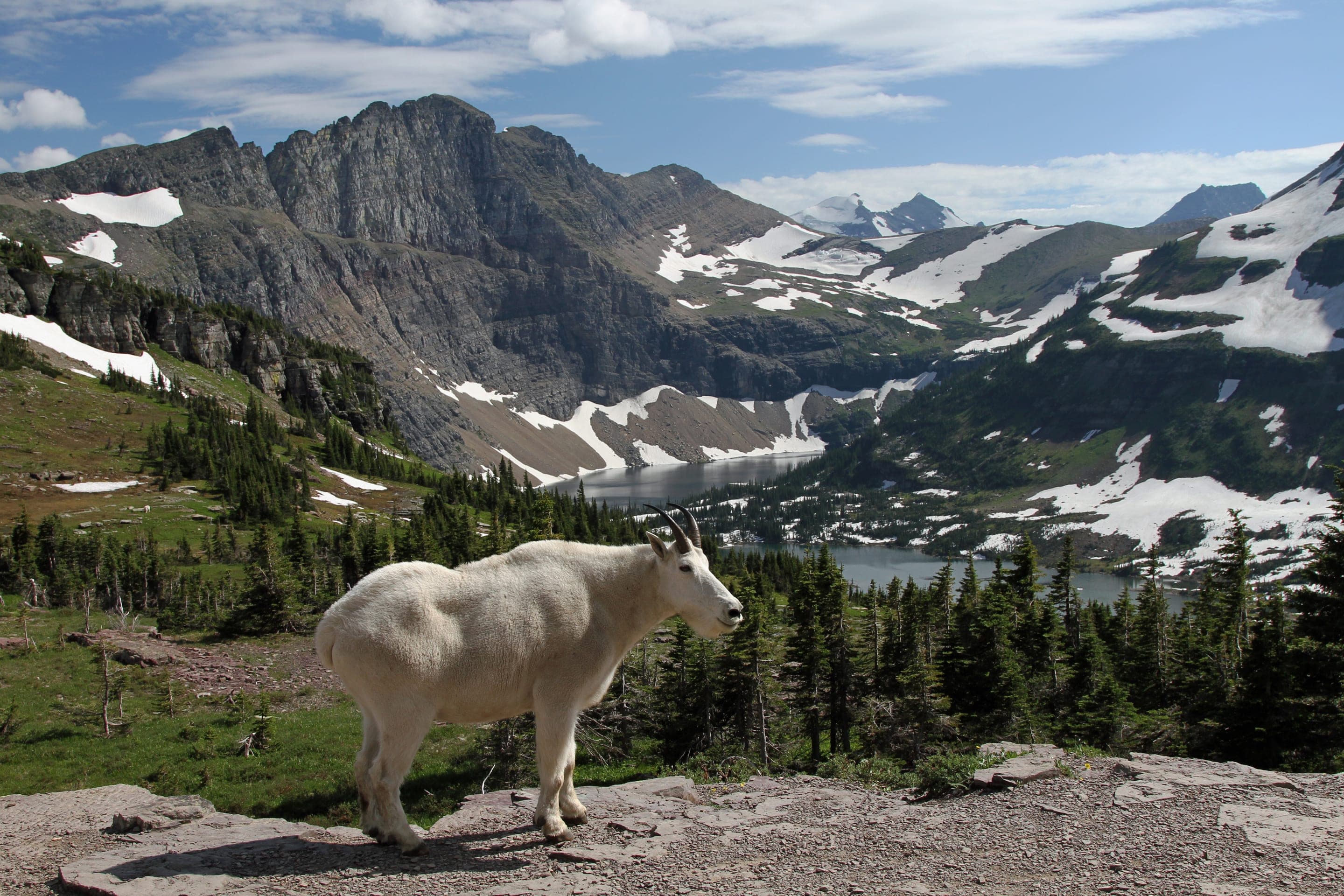
Oreamnos americanus
Photo: USFWS — public domain
Lake Dorothy is the highest legal camping in the Fourth of July zone — flat areas just below the lake's outlet make legal sites (200ft from water). Bear-canister required. Most overnight users push through to Lake Dorothy specifically for the alpine experience.
Curated for this trail's terrain, elevation, and typical conditions.
Same parking, same logistics — if your plans need to flex, here's what else is reachable from Fourth of July Trailhead.
Hard · Indian Peaks · 5.4 mi · 875 ft gain
Alpine basin and waterfall via the Arapaho Pass Trail
Read the guide →Moderate · Indian Peaks · 4.6 mi · 440 ft gain
Alpine basin under Navajo Peak — 4.6 mi RT from Long Lake Trailhead
Read the guide →Hard · Front Range · 7 mi · 2,850 ft gain
7-mi 14er from Guanella Pass — 11,669 ft trailhead, willow bog at the base
Read the guide →We publish photos after a quick moderator review. As soon as a hiker shares conditions out there, they'll appear here.