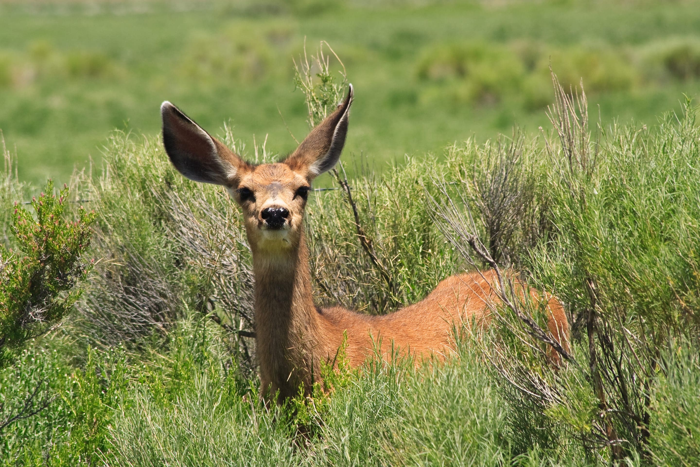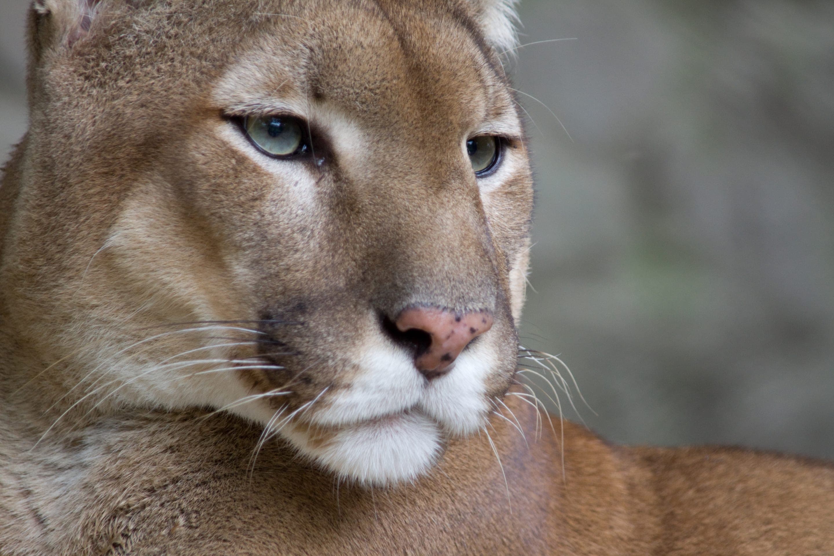
Mule deer
Odocoileus hemionus
Photo: NPS Photo — public domain
Loading
Loading page content
The gentlest Skyline Traverse summit — drivable or hiked
Boulder Open Space & Mountain Parks
Trip Builder
Tell us your date and conditions — we'll factor in the 4.2-mi route, 1,494 ft of gain, and 2.5–3.5 hour day to assemble the gear that matters in under a minute.
The gentlest Skyline Traverse summit — drivable or hiked. Editorial intro forthcoming.
Dogs: leashes required.
From Boulder, take Baseline Road west to the Flagstaff/Gregory Canyon Trailhead at the base of Flagstaff Road. $5 daily parking fee for non-Boulder-County vehicles. Drive-up access to Flagstaff Summit West is open May 1–October 30.
Drive time
Personalize with your ZIP
We'll calculate drive time + a leave-by recommendation to beat the lot fill.
Practical-craft notes for this specific trail — timing, route, photo, etiquette.
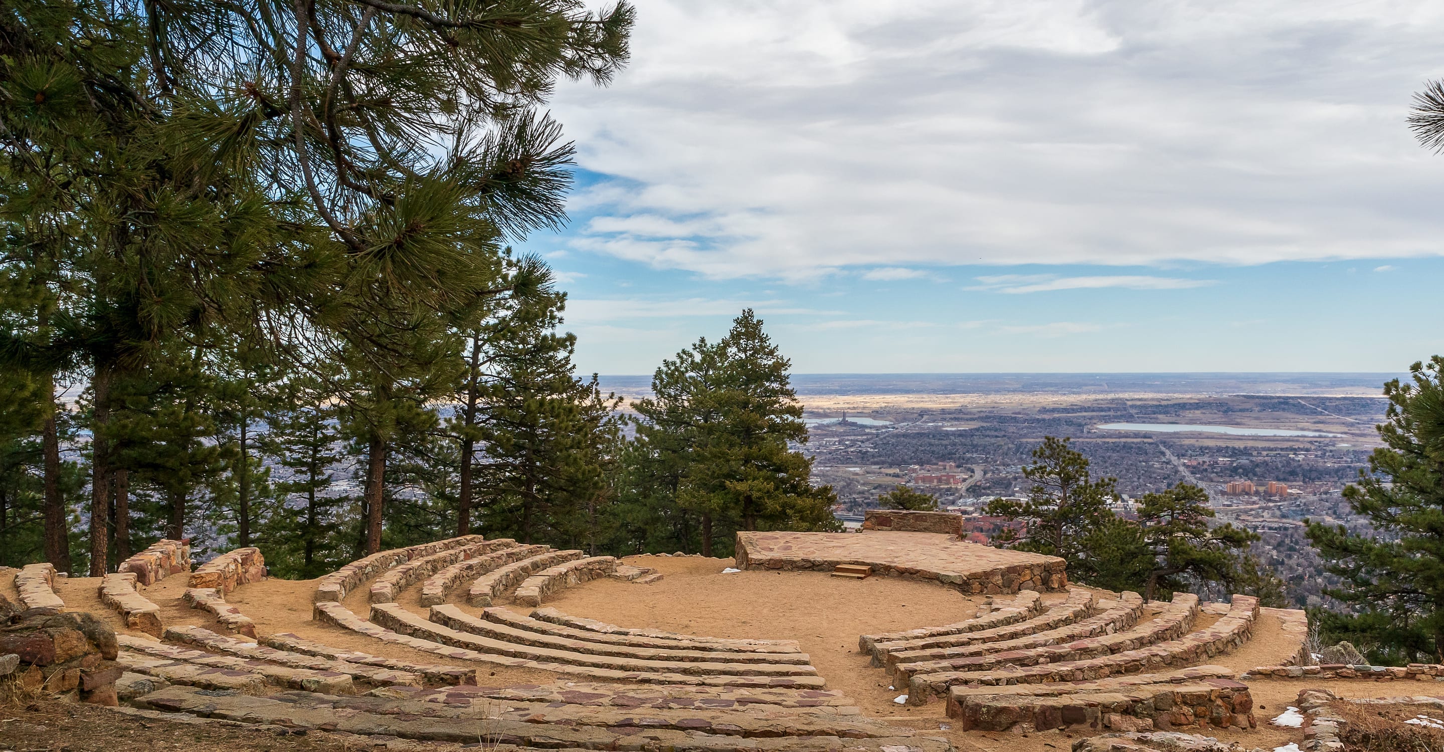
Flagstaff Mountain's summit is accessible by both the foot trail AND a paved scenic drive. Most hikers don't realize the summit lots and the foot trail converge. The drive-up zone is open May 1 – October 30.
The Flagstaff Nature Center hosts free sunset talks Friday evenings June–August. Park at the upper summit lot ($5 daily), grab a seat at the amphitheater. Combines the hike with educational programming.
From the eastern summit edge, you get Boulder city + plains stretching to the eastern horizon — sunrise from this 6,950ft vantage shows the curve of the earth. Worth the pre-dawn drive up.
The foot trail crosses Flagstaff Road multiple times via switchbacks. Cyclists descending at speed and drivers focused on views combine for real collision risk. Make eye contact at every crossing.
The lower paved section ices over even in mild winters. Drive-up summit access closes Nov 1; the foot route stays open year-round but requires traction.
Flagstaff is the rare Boulder summit you can drive to in summer — the $5 daily lot at the base of Flagstaff Road (free for Boulder County registrations) backs the trailhead, with additional paid lots scattered up the summit road May through October. No overnight stays; bring small bills for the permit machine.
Highlighted months offer the best conditions.
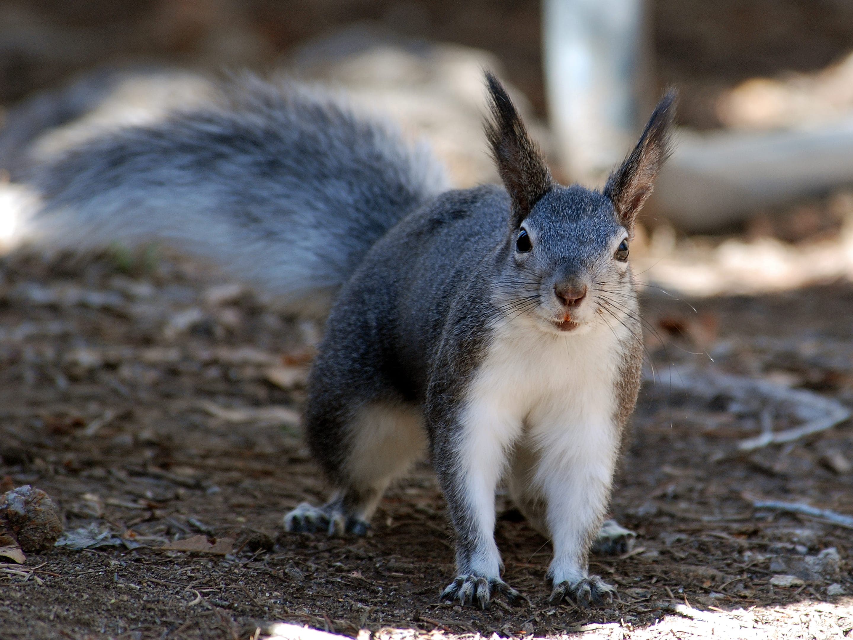
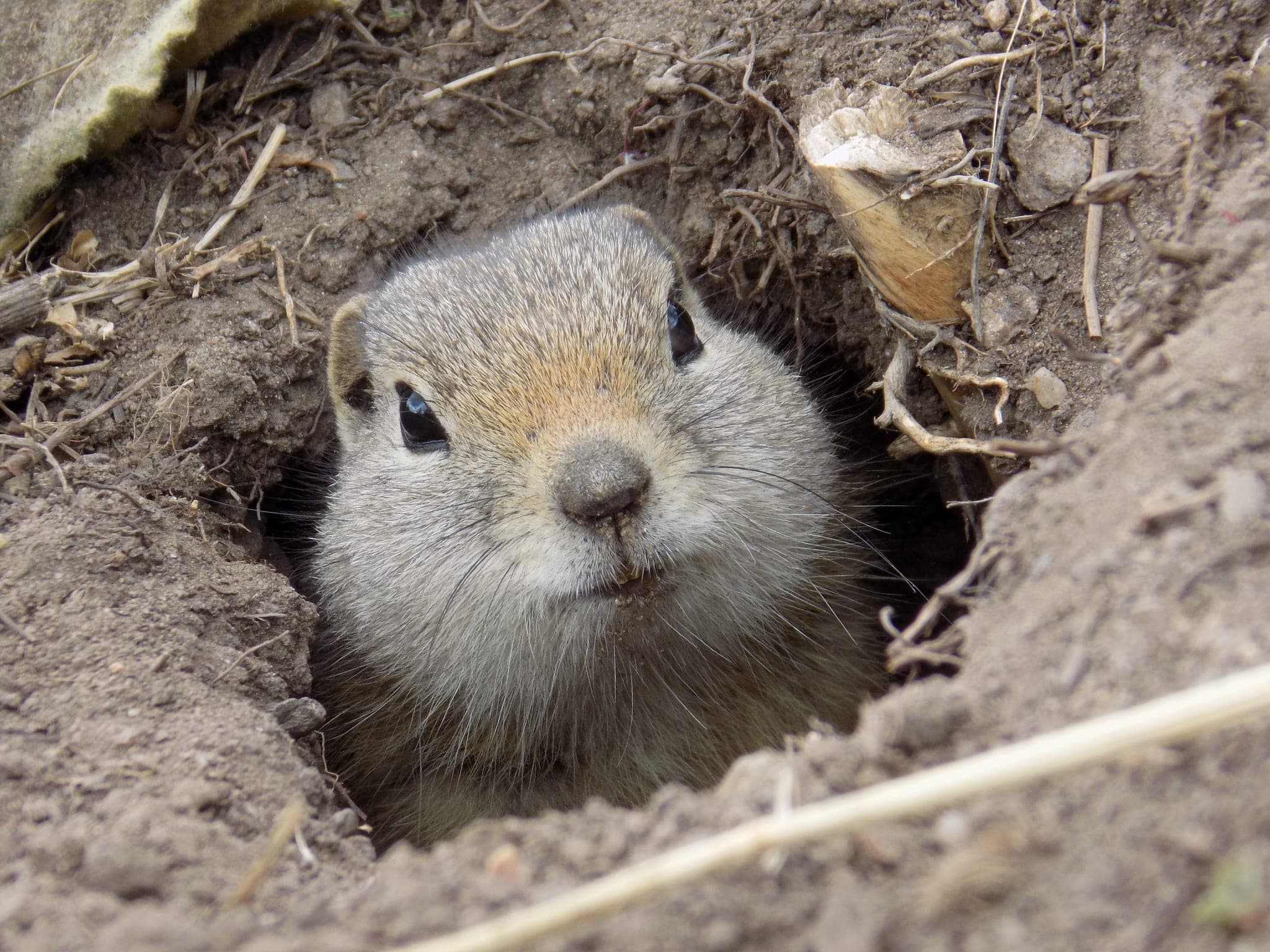
Flagstaff's summit-zone open meadows host a regular ground-squirrel population that draws coyotes at dusk. The lower switchback trail through ponderosa is good Abert's-squirrel and mule-deer viewing year-round.

Odocoileus hemionus
Photo: NPS Photo — public domain

Sciurus aberti
Photo: USFWS — public domain

Urocitellus elegans
Summit meadows colonize with these chubby ground squirrels April through September.
Photo: USFWS — public domain

Canis latrans
Drawn to the summit ground-squirrel colony at dusk.
Photo: USFWS — public domain
Day-use only — overnight not permitted
OSMP day-use only. Picnic shelters at the summit are for day-use; no overnight camping permitted.
Curated for this trail's terrain, elevation, and typical conditions.
Hard · Boulder · 5.6 mi · 2,378 ft gain
Boulder's Skyline Traverse high point via Gregory Canyon
Read the guide →Easy · Boulder · 3.2 mi · 780 ft gain
Boulder's gateway to the Flatirons — 3.2-mi loop from downtown OSMP
Read the guide →Moderate · Boulder · 3.1 mi · 1,323 ft gain
Boulder's steepest popular summit — 1,300ft in a mile and a half
Read the guide →We publish photos after a quick moderator review. As soon as a hiker shares conditions out there, they'll appear here.