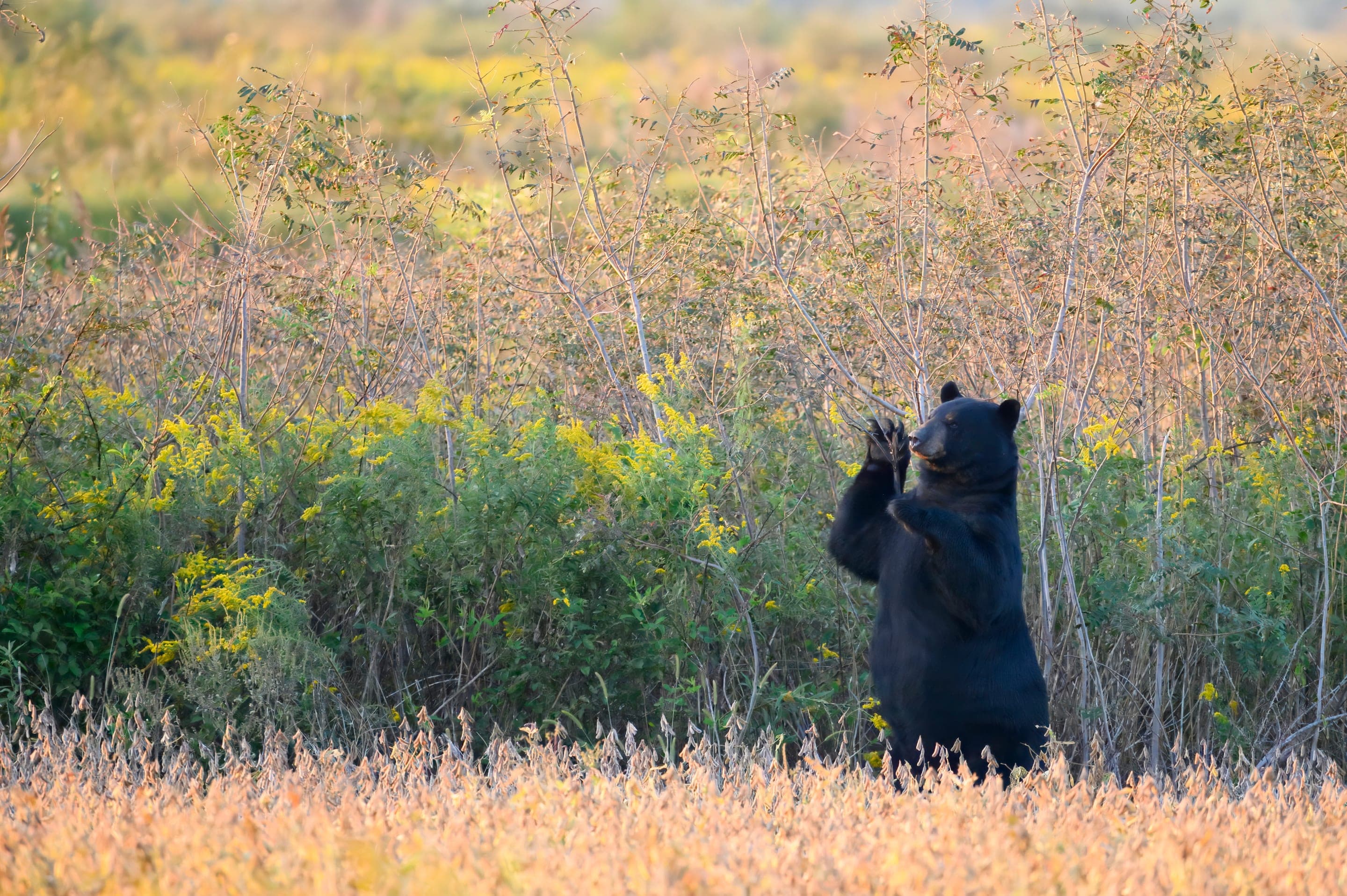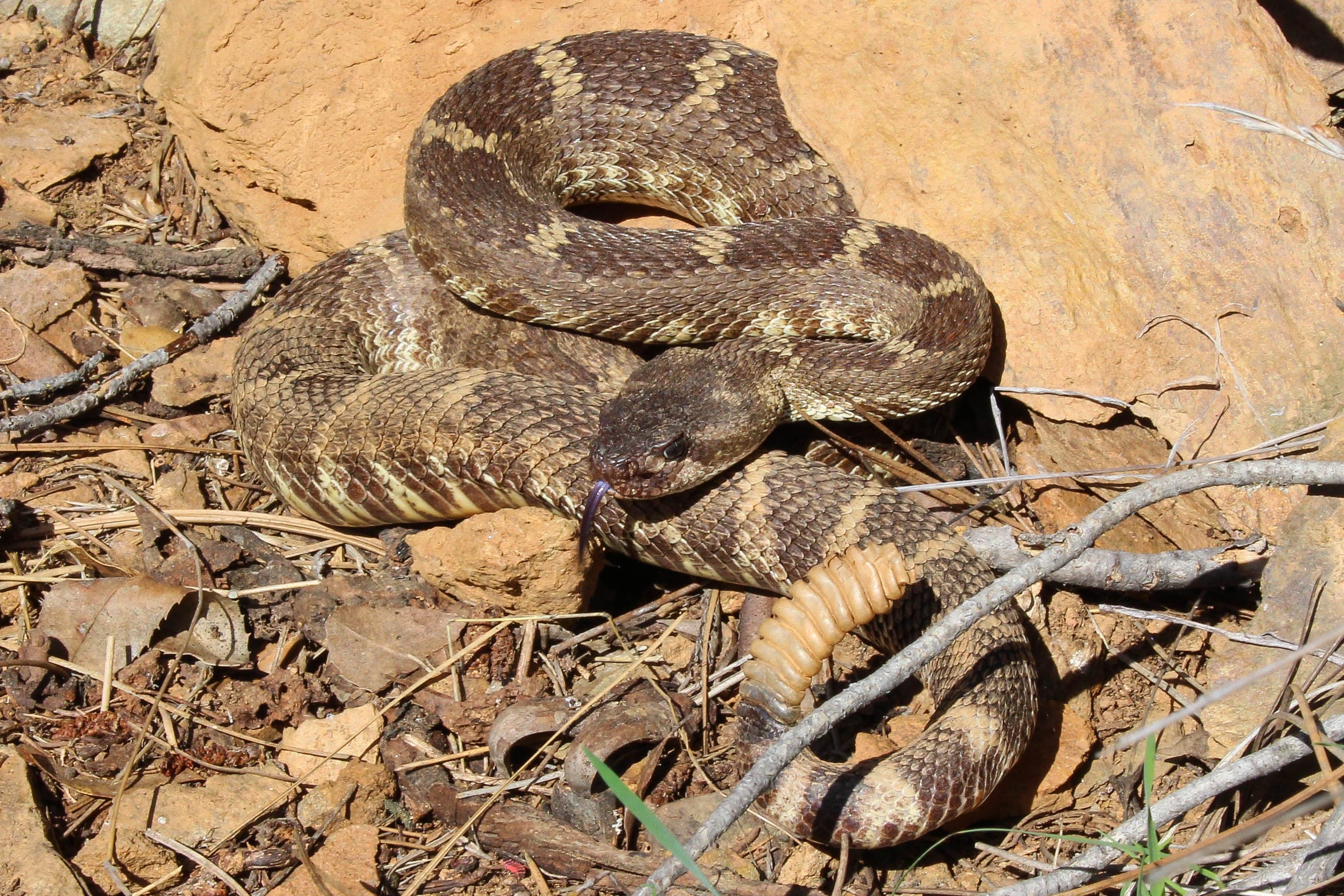
Black bear
Ursus americanus
Active May through October — Gregory Canyon's dense conifer corridor is prime bear habitat.
Photo: USFWS — public domain
Loading
Loading page content
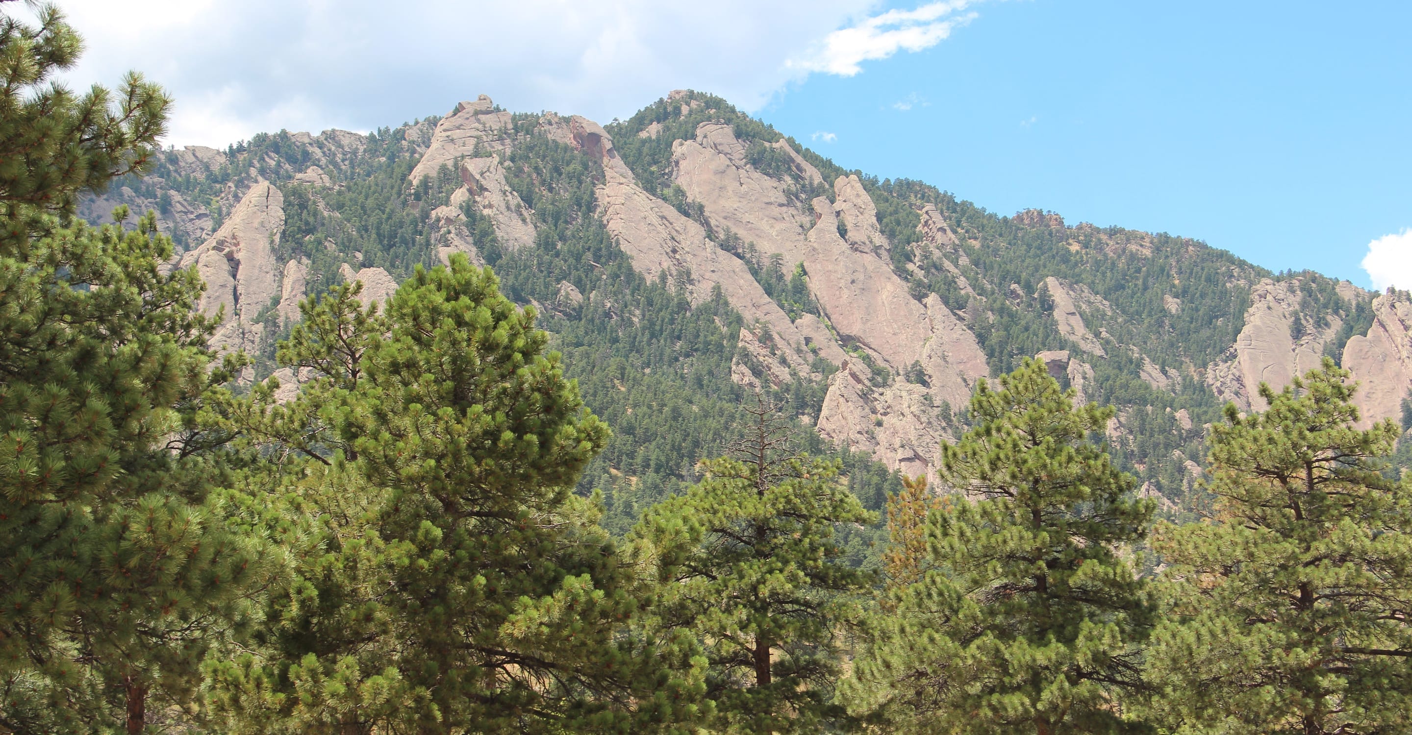
Boulder's Skyline Traverse high point via Gregory Canyon
Boulder Open Space & Mountain Parks
Trip Builder
Tell us your date and conditions — we'll factor in the 5.6-mi route, 2,378 ft of gain, and 3.5–5 hour day to assemble the gear that matters in under a minute.
Boulder's Skyline Traverse high point via Gregory Canyon. Editorial intro forthcoming.
Dogs: leashes required.
From Boulder, take Baseline Road west past Chautauqua to the Gregory Canyon Trailhead on the right just before Flagstaff Road. $5 daily parking fee for non-Boulder-County vehicles — arrive before 8am on summer weekends.
Drive time
Personalize with your ZIP
We'll calculate drive time + a leave-by recommendation to beat the lot fill.
Practical-craft notes for this specific trail — timing, route, photo, etiquette.
Green is the high-point of the Boulder Skyline Traverse (8,144ft). Before late June, snowfields on the Ranger Trail; after mid-October, ice and short days. The summer window is short — plan accordingly.
From Gregory Canyon trailhead, follow the obvious main trail up the canyon, then the Ranger Trail up the west ridge. The bronze geography dial at the summit confirms you're at the right summit (vs the false summit ridge 200ft east).
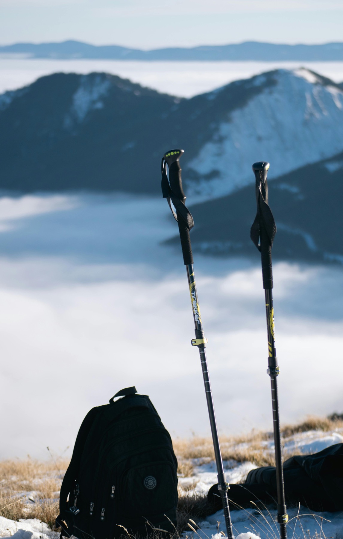
The 2,378ft of gain is steep, and the descent on the same trail is hard on knees. Trekking poles are not optional; bring them.
The summit's brass geography dial identifying surrounding peaks is a classic Boulder summit-photo. Position with the dial in the foreground and the Indian Peaks horizon behind.
South-facing trail with no creek crossings. Summer afternoon temps in the upper trail can hit 80°F+; 2 liters is bare minimum, 3 is sensible for hot days.
Gregory Canyon Trailhead charges $5 daily for non-Boulder-County vehicles (free with county registration) — bring small bills for the permit machine. Lot is small; arrive before 8am on summer weekends or expect the up-canyon overflow lots on Flagstaff Road. No overnight stays.
Highlighted months offer the best conditions.
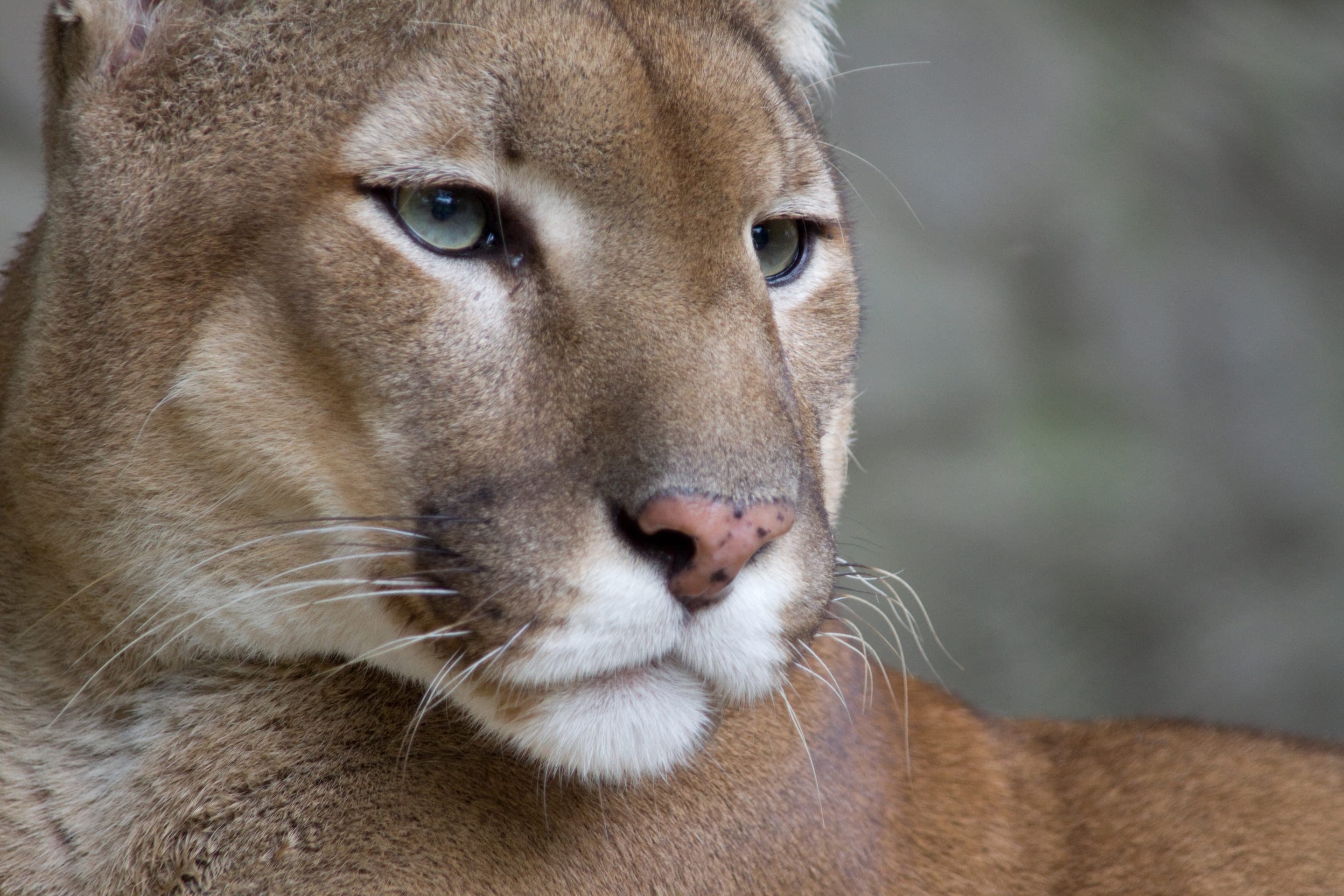
Gregory Canyon's mixed conifer corridor and the Ranger Trail's open summit ridge bring two distinct wildlife layers — black bears and lions in the densely forested lower trail, golden eagles and red-tailed hawks soaring the upper summit thermals.

Ursus americanus
Active May through October — Gregory Canyon's dense conifer corridor is prime bear habitat.
Photo: USFWS — public domain

Puma concolor
Confirmed habitat — OSMP posts seasonal advisories. Keep dogs close and leashed.
Photo: NPS Photo / Neal Herbert — public domain

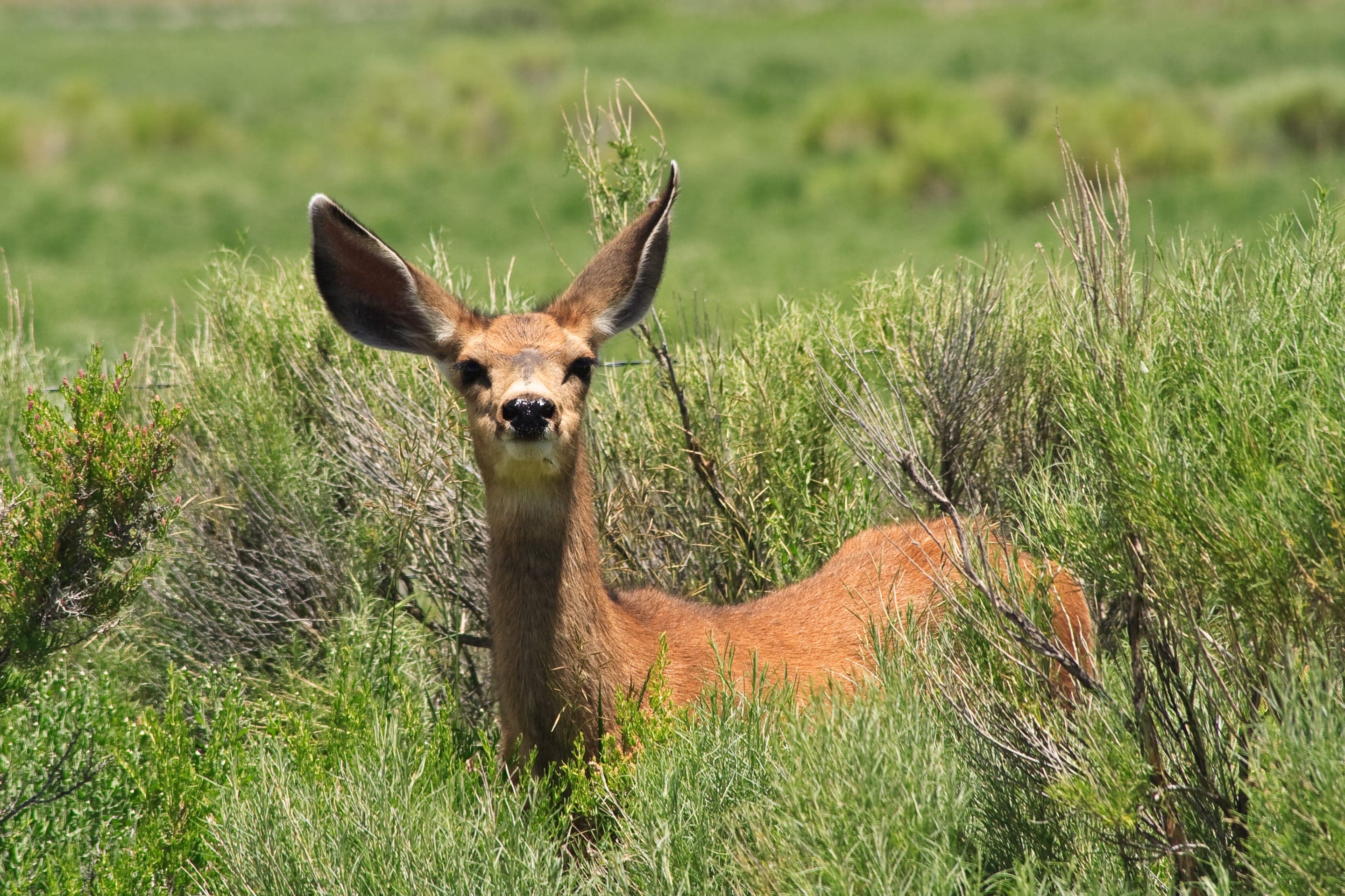
Odocoileus hemionus
Photo: NPS Photo — public domain

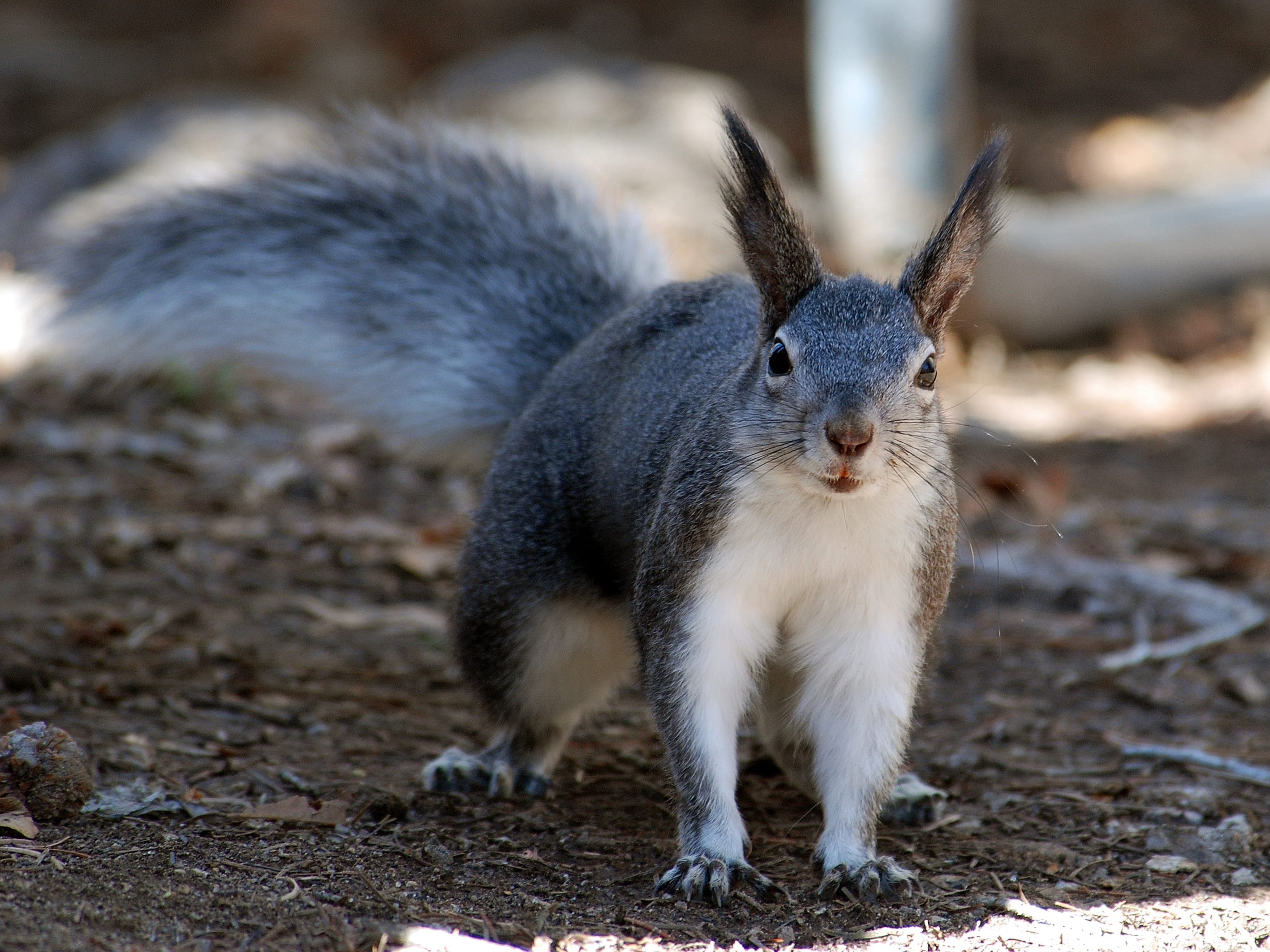
Sciurus aberti
Photo: USFWS — public domain
Day-use only — overnight not permitted
OSMP day-use only. Closest backcountry permits: Indian Peaks Wilderness (~1hr drive to Brainard).
Curated for this trail's terrain, elevation, and typical conditions.
Moderate · Boulder · 4.2 mi · 1,494 ft gain
The gentlest Skyline Traverse summit — drivable or hiked
Read the guide →Hard · Boulder · 5.5 mi · 2,850 ft gain
Boulder OSMP's high point — 8,461 ft via West Ridge or Fern Canyon
Read the guide →Easy · Boulder · 3.2 mi · 780 ft gain
Boulder's gateway to the Flatirons — 3.2-mi loop from downtown OSMP
Read the guide →We publish photos after a quick moderator review. As soon as a hiker shares conditions out there, they'll appear here.