Mule deer
Odocoileus hemionus
Small herds bed in the lower Sanitas Valley meadow and along the East Ridge. Most active dawn and dusk; quiet approach for photographs.
Photo: NPS Photo — public domain
Loading
Loading page content
Boulder's steepest popular summit — 1,300ft in a mile and a half
Boulder Open Space & Mountain Parks
Trip Builder
Tell us your date and conditions — we'll factor in the 3.1-mi route, 1,323 ft of gain, and 2–3 hour day to assemble the gear that matters in under a minute.
Boulder's steepest popular summit — 1,300ft in a mile and a half. Editorial intro forthcoming.
Dogs: leashes required.
From Boulder, take Mapleton Avenue west to 4th Street — the Sanitas Trailhead is at the southwest corner. Free parking fills by 7am on weekends; overflow available east on Mapleton.
Drive time
Personalize with your ZIP
We'll calculate drive time + a leave-by recommendation to beat the lot fill.
Practical-craft notes for this specific trail — timing, route, photo, etiquette.
Sanitas Trailhead's 30-odd spaces fill by 7am Saturday and Sunday from May through October. Off-season weekdays the lot is rarely full before noon.
Three rocky outcrops near the top look summit-like; the true 6,863ft summit is the one with the embedded brass survey marker. From the false summits, head 100ft northwest along the ridgeline.
The west-face rock-step staircase holds ice from first snow through April most years. Microspikes or a Yaktrax-equivalent are non-negotiable for the descent — this is where most Sanitas falls happen.
If you're starting before dawn, take the East Ridge ascent instead of the west-face staircase — you'll get the Flatirons backlit by sunrise from a less-photographed angle. Add 0.4mi but worth it.
There's no creek or potable source on the Mount Sanitas summit route. The 2-hour effort warrants a full liter for cool days; bring 2+ in summer.
Sanitas Trailhead is small and popular — the lot fills by 7am on summer weekends and by 9am even on weekdays. Free, but no overnight stays: Boulder OSMP closes lots at sunset. Overflow opens east on Mapleton when the main lot is full.
Highlighted months offer the best conditions.
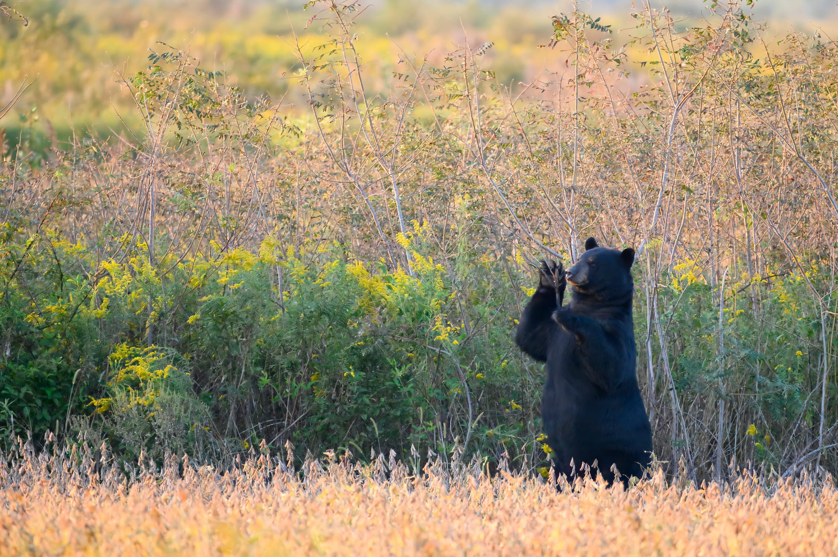
Sanitas runs through real mountain-lion habitat — sightings are rare but tracks aren't. Mule deer feed in the lower meadow at dawn and dusk; the steep west-face ridge is rattlesnake territory in summer warmth.

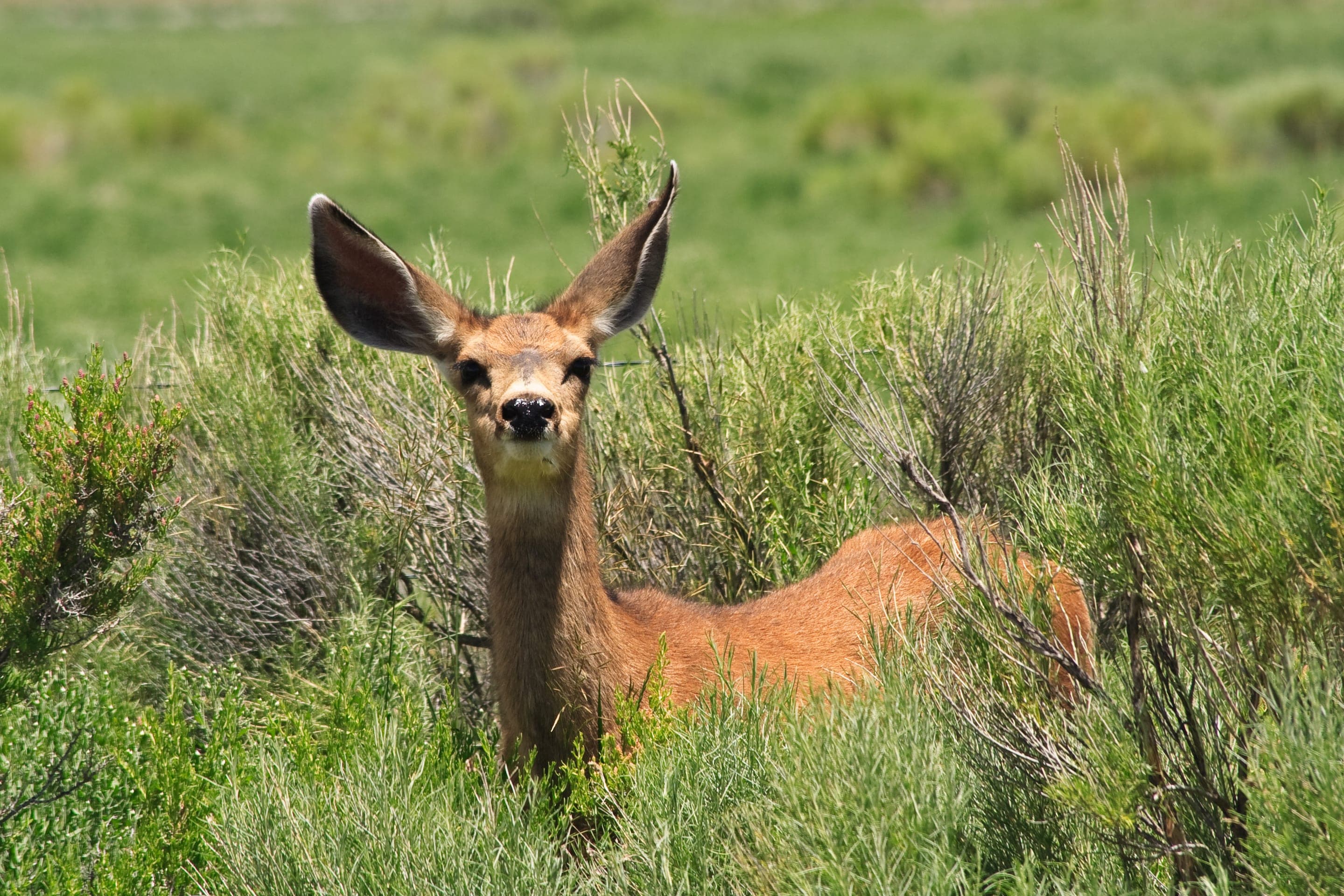
Odocoileus hemionus
Small herds bed in the lower Sanitas Valley meadow and along the East Ridge. Most active dawn and dusk; quiet approach for photographs.
Photo: NPS Photo — public domain

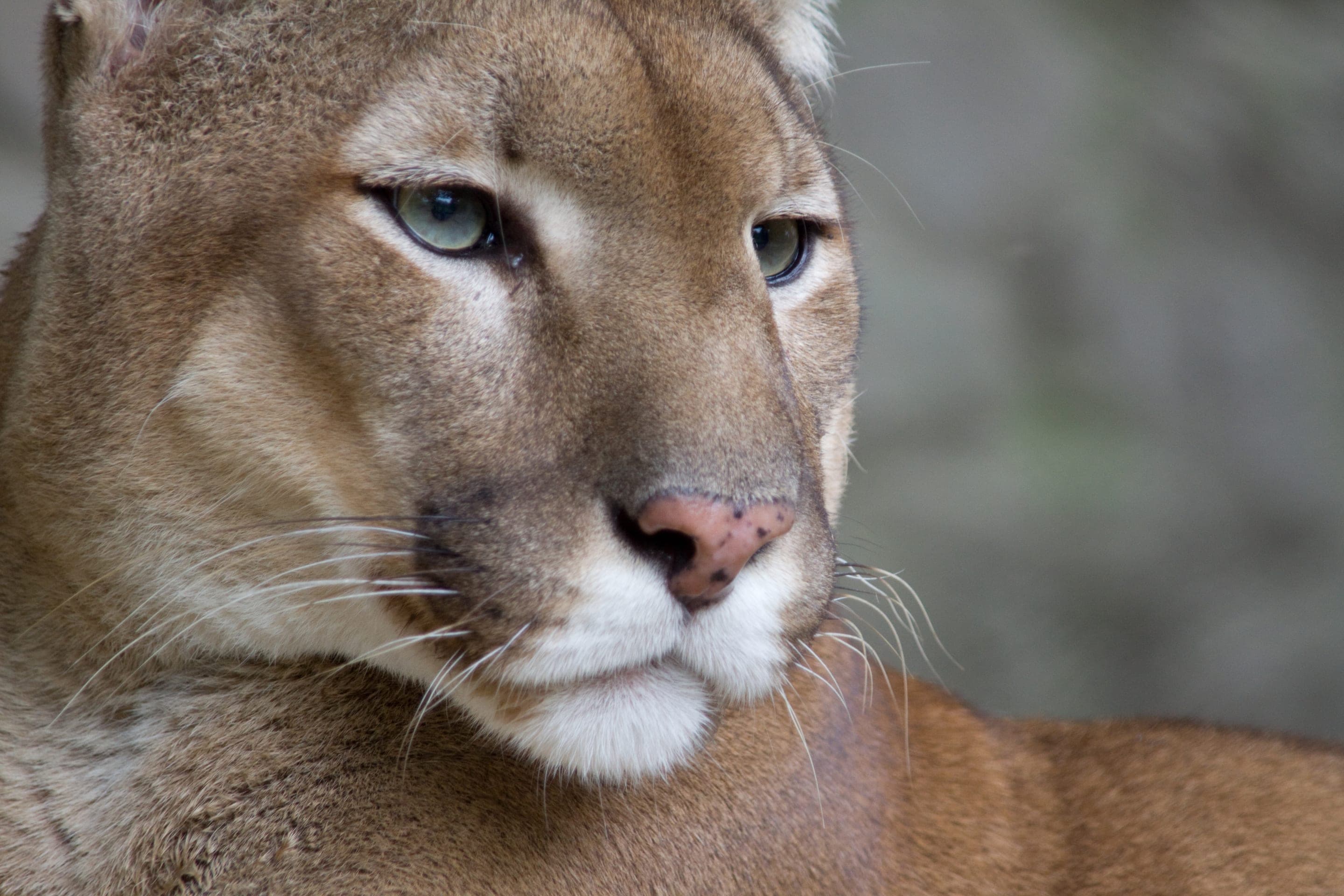
Puma concolor
Confirmed habitat — OSMP posts seasonal advisories. Sightings are rare but real; keep children close, dogs leashed, and never run if encountered.
Photo: NPS Photo / Neal Herbert — public domain

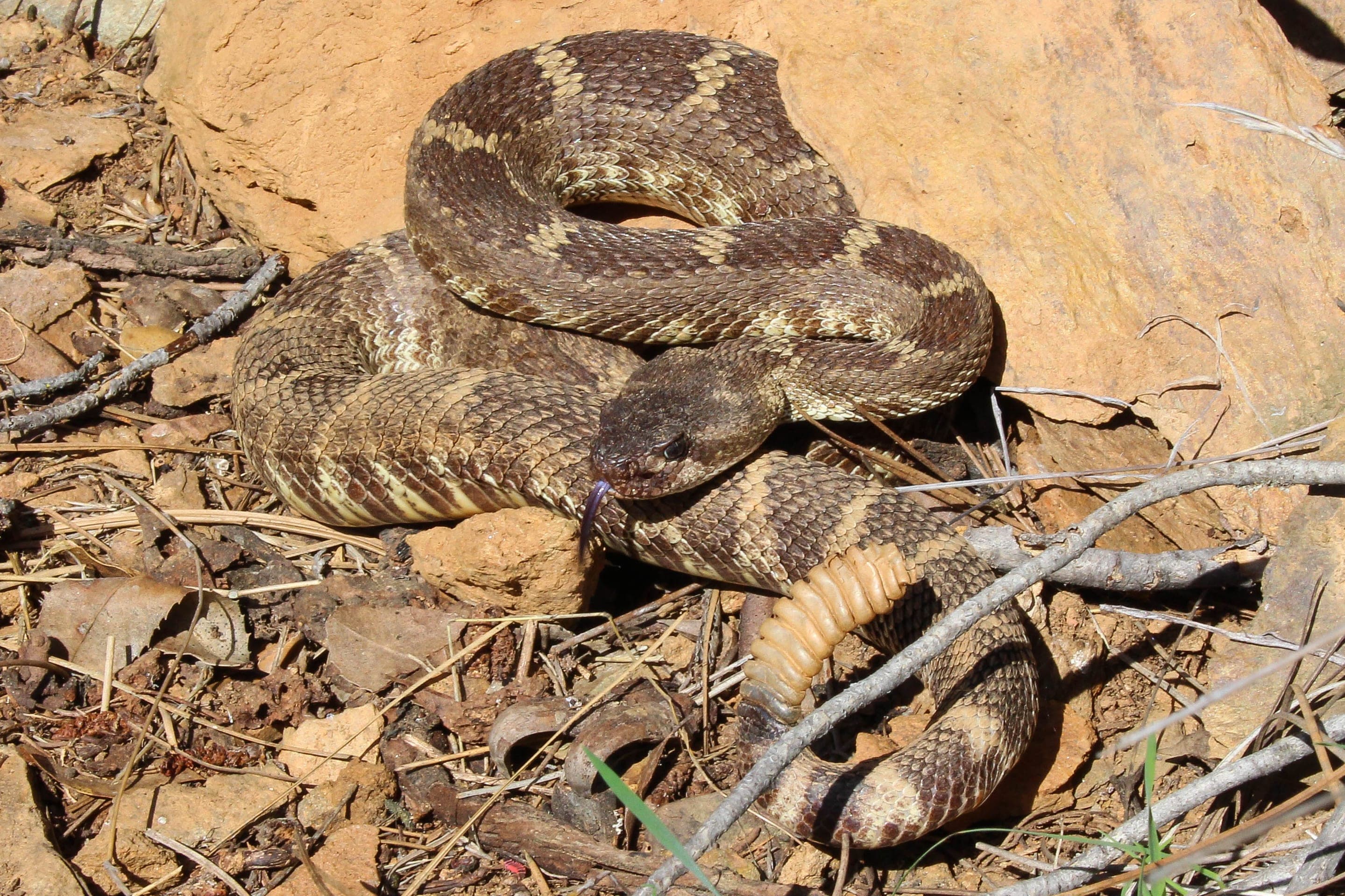
Crotalus oreganus
Active on the rocky west-face stair climb and along the East Ridge from April through October. Watch your step on sun-warmed rocks; bites are rare but require immediate evacuation.
Photo: USFWS — public domain

Canis latrans
Heard more than seen — the Sanitas Valley pack vocalizes most active dawn and dusk.
Photo: USFWS — public domain
Day-use only — overnight not permitted
Boulder OSMP closes all trailhead lots at sunset and prohibits backcountry camping on Mount Sanitas. The closest legal car camping is at Boulder Mountain Lodge (drive-up) or Reverend's Ridge in Golden Gate Canyon State Park (~45min drive).
Curated for this trail's terrain, elevation, and typical conditions.
Same parking, same logistics — if your plans need to flex, here's what else is reachable from Sanitas Trailhead.
Easy · Boulder · 2.4 mi · 465 ft gain
Mount Sanitas's gentle valley alternative — broad gravel uphill
Read the guide →Easy · Boulder · 3.2 mi · 780 ft gain
Boulder's gateway to the Flatirons — 3.2-mi loop from downtown OSMP
Read the guide →Moderate · Boulder · 4.2 mi · 1,494 ft gain
The gentlest Skyline Traverse summit — drivable or hiked
Read the guide →We publish photos after a quick moderator review. As soon as a hiker shares conditions out there, they'll appear here.