Moose
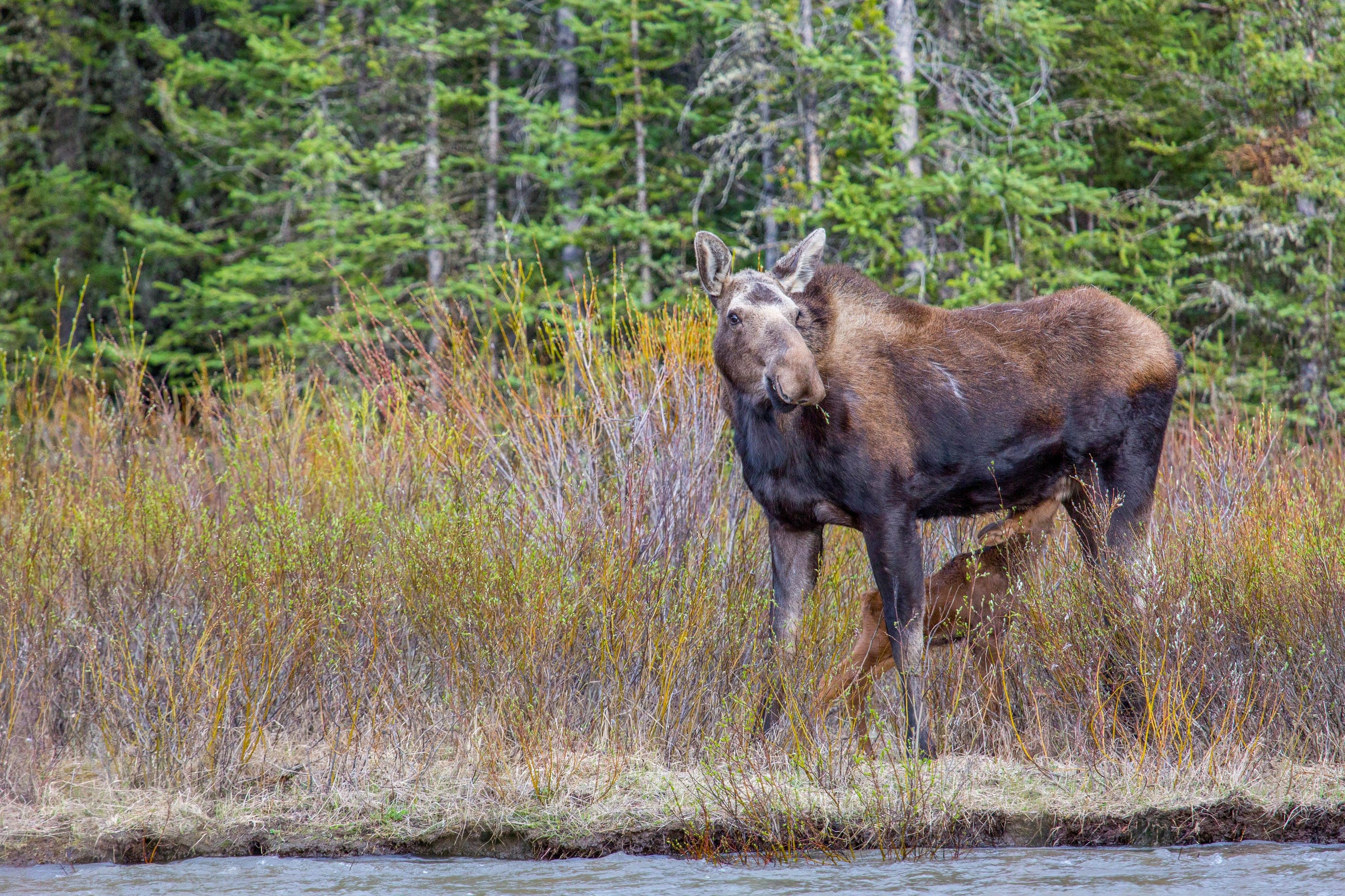
Alces alces shirasi
Resident herd in the willow bog at the trail's base — among Colorado's most reliable moose viewing. Keep 75 yards minimum.
Photo: NPS Photo — public domain
Loading
Loading page content
7-mi 14er from Guanella Pass — 11,669 ft trailhead, willow bog at the base
Arapaho National Forest
Trip Builder
Tell us your date and conditions — we'll factor in the 7-mi route, 2,850 ft of gain, and 4–7 hour day to assemble the gear that matters in under a minute.
7-mi 14er from Guanella Pass — 11,669 ft trailhead, willow bog at the base. Editorial intro forthcoming.
Dogs: leashes required.
From Georgetown, take Guanella Pass Road (County Road 381) south 10 miles to Guanella Pass. Trailhead parking at the pass.
Drive time
Personalize with your ZIP
We'll calculate drive time + a leave-by recommendation to beat the lot fill.
Practical-craft notes for this specific trail — timing, route, photo, etiquette.
Bierstadt's wide-open above-treeline ridge has zero protection from lightning. Be off the summit by 11am in summer. Start by 5–6am from the trailhead to have a comfortable buffer.
The first half-mile crosses a willow bog that's wet and slow on foot. There's a boardwalk in the worst section; stay on it (off-trail damages fragile habitat and your boots get soaked).
Even with the boardwalk, the bog approach demands waterproof boots or you'll have wet feet for the rest of the day. Trail-runners-only crowd: bring gaiters.
Bierstadt's reputation as a 'beginner 14er' fools people into bringing too little. It's 14,065ft of altitude; even fit hikers feel it. Bring rain gear, layers, and 3L of water minimum.
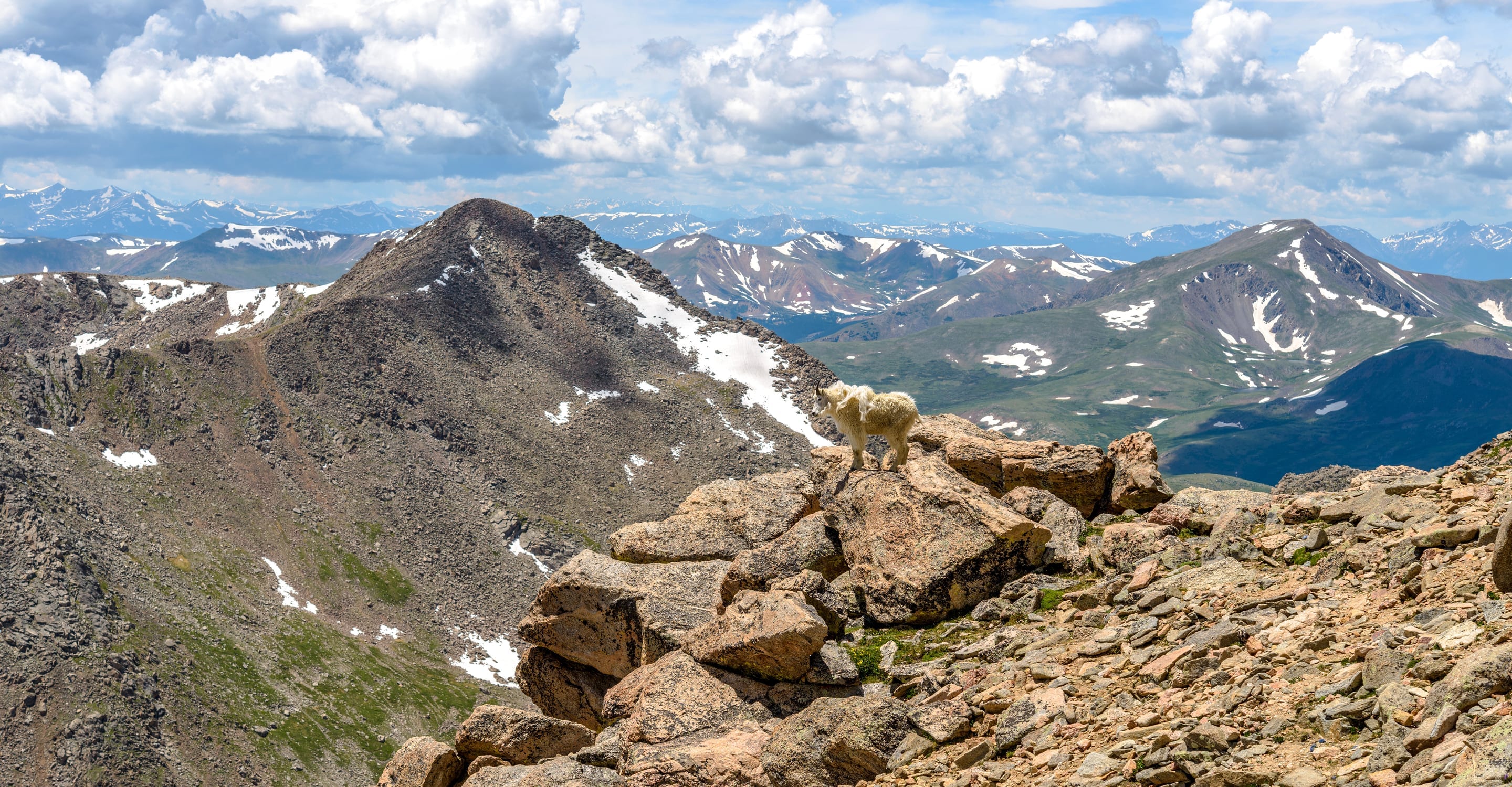
From Bierstadt's summit, the Sawtooth Ridge connecting to Mount Evans is a knife-edge of black volcanic rock. Best photographed from the summit at mid-morning when side-light catches the ridge texture.
Mount Bierstadt is the friendliest 14er trailhead in Colorado — paved access right to the pass at 11,669ft, free parking, no permit. Lot fills by 6am on summer weekends; arrive earlier or expect roadside overflow on the lower pull-offs. Overnight allowed for alpine starts. No park entrance fee (USFS).
Highlighted months offer the best conditions.
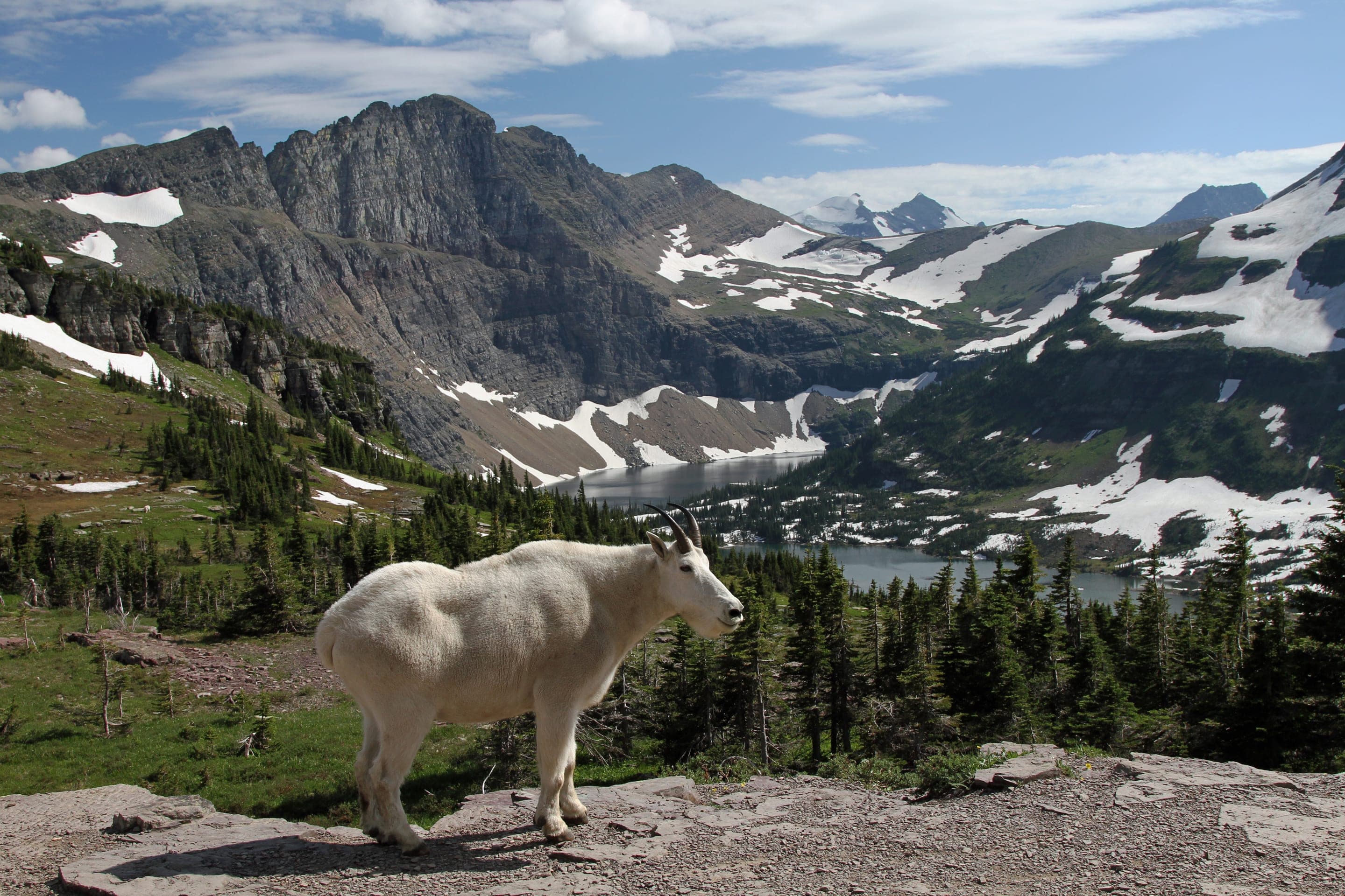
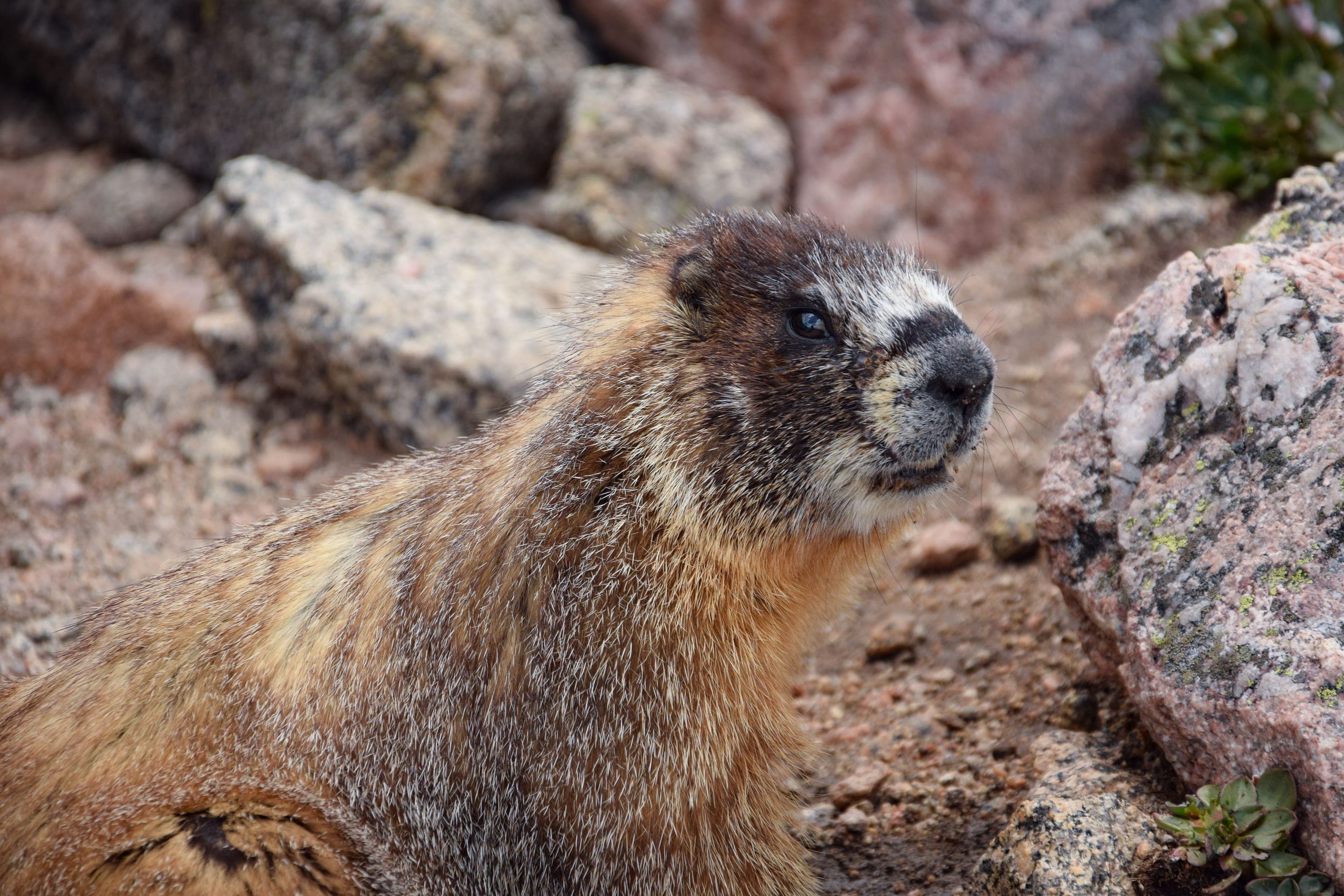
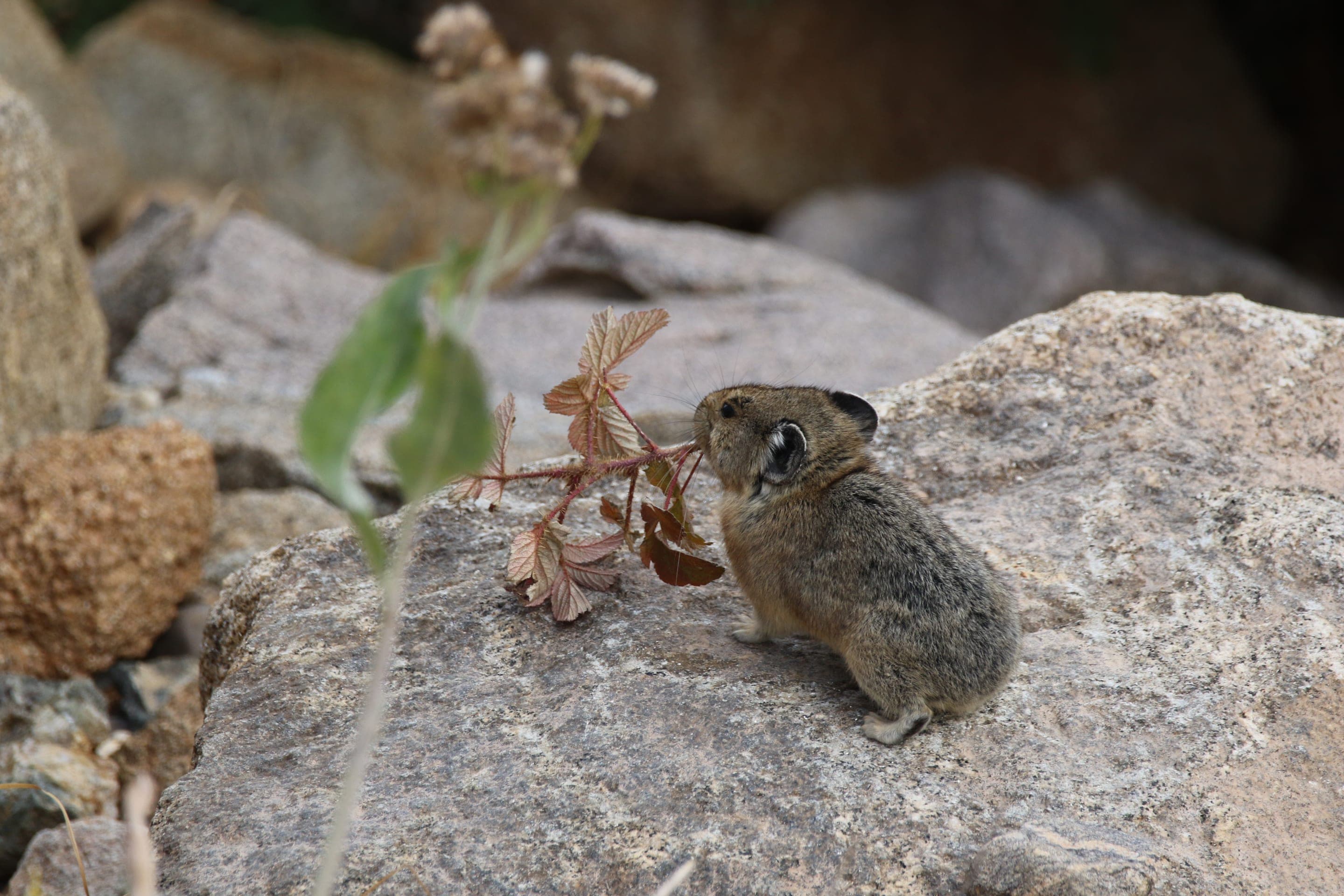
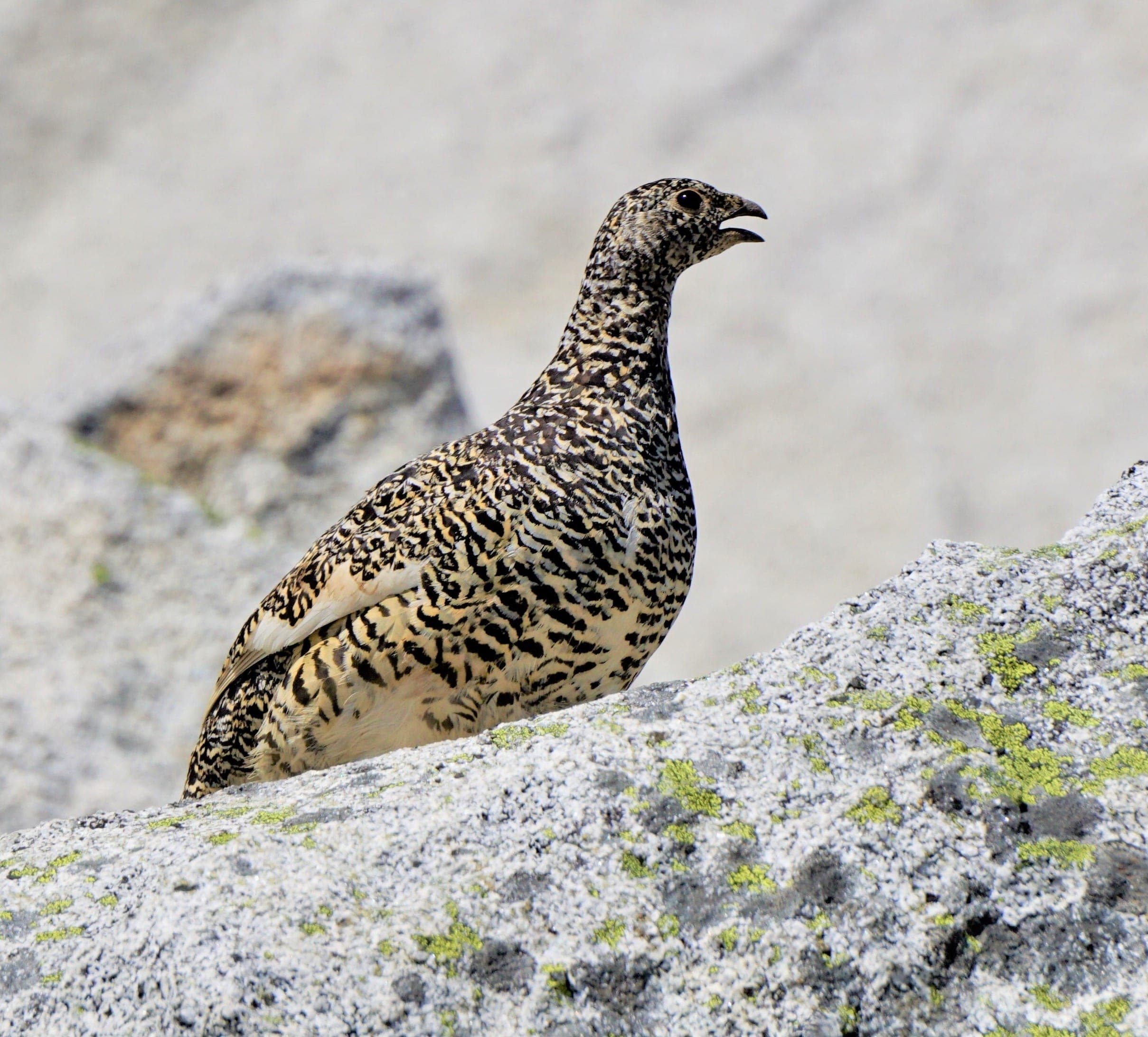
The willow bog at the base of Bierstadt is the trail's wildlife highlight — moose are nearly guaranteed in summer, and the alpine talus above hosts pikas and marmots through September. White-tailed ptarmigan camouflage on the upper slopes year-round.

Alces alces shirasi
Resident herd in the willow bog at the trail's base — among Colorado's most reliable moose viewing. Keep 75 yards minimum.
Photo: NPS Photo — public domain

Marmota flaviventris
Photo: USFWS — public domain

Ochotona princeps
Photo: NPS Photo, Rocky Mountain NP — public domain

Lagopus leucura
Year-round alpine specialist on the upper slopes — perfectly camouflaged season-to-season.
Photo: Andy Reago & Chrissy McClarren, CC BY 2.0 — Wikimedia Commons
Mount Evans Wilderness allows dispersed backpacking — pitch your tent anywhere 200ft+ from water and trails. No permit, no fee. The flat areas near Scott Gomer Creek (below the willow bog) are the obvious overnight spots. Day-hike-attempt is the common approach since the road accesses 11,669ft directly.
Curated for this trail's terrain, elevation, and typical conditions.
Hard · Summit County · 6.75 mi · 3,300 ft gain
Tenmile Range 14er via the East Ridge — parking reservation required at Quandaryparking.com
Read the guide →Expert · Front Range · 14.5 mi · 5,100 ft gain
RMNP's only 14er — 14.5 mi RT via the Keyhole Route
Read the guide →Hard · Boulder · 6.8 mi · 2,950 ft gain
Boulder OSMP's highest summit at 8,549 ft — 6.8 mi RT via Shadow Canyon
Read the guide →We publish photos after a quick moderator review. As soon as a hiker shares conditions out there, they'll appear here.