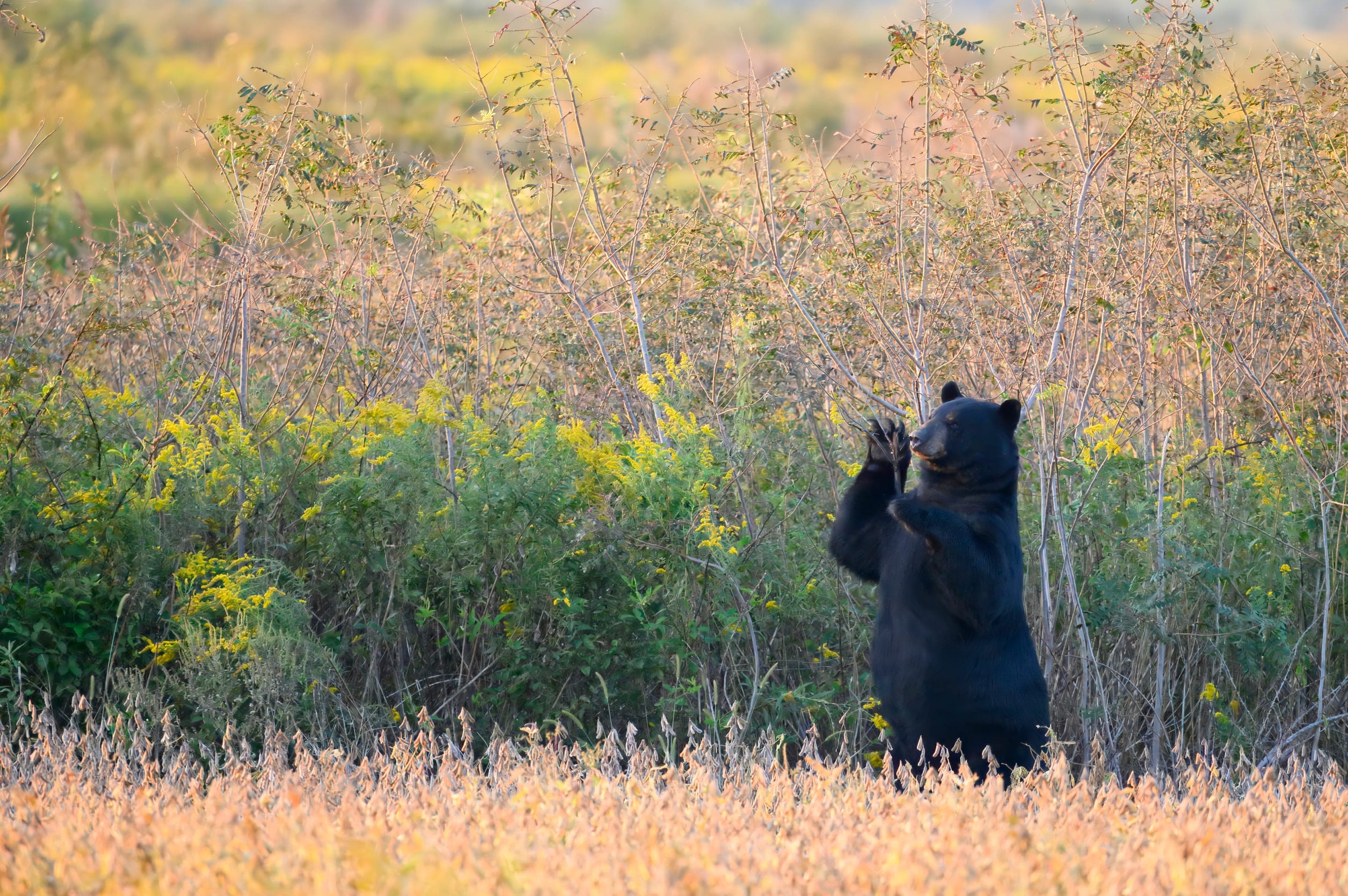
Yellow-bellied marmot
Marmota flaviventris
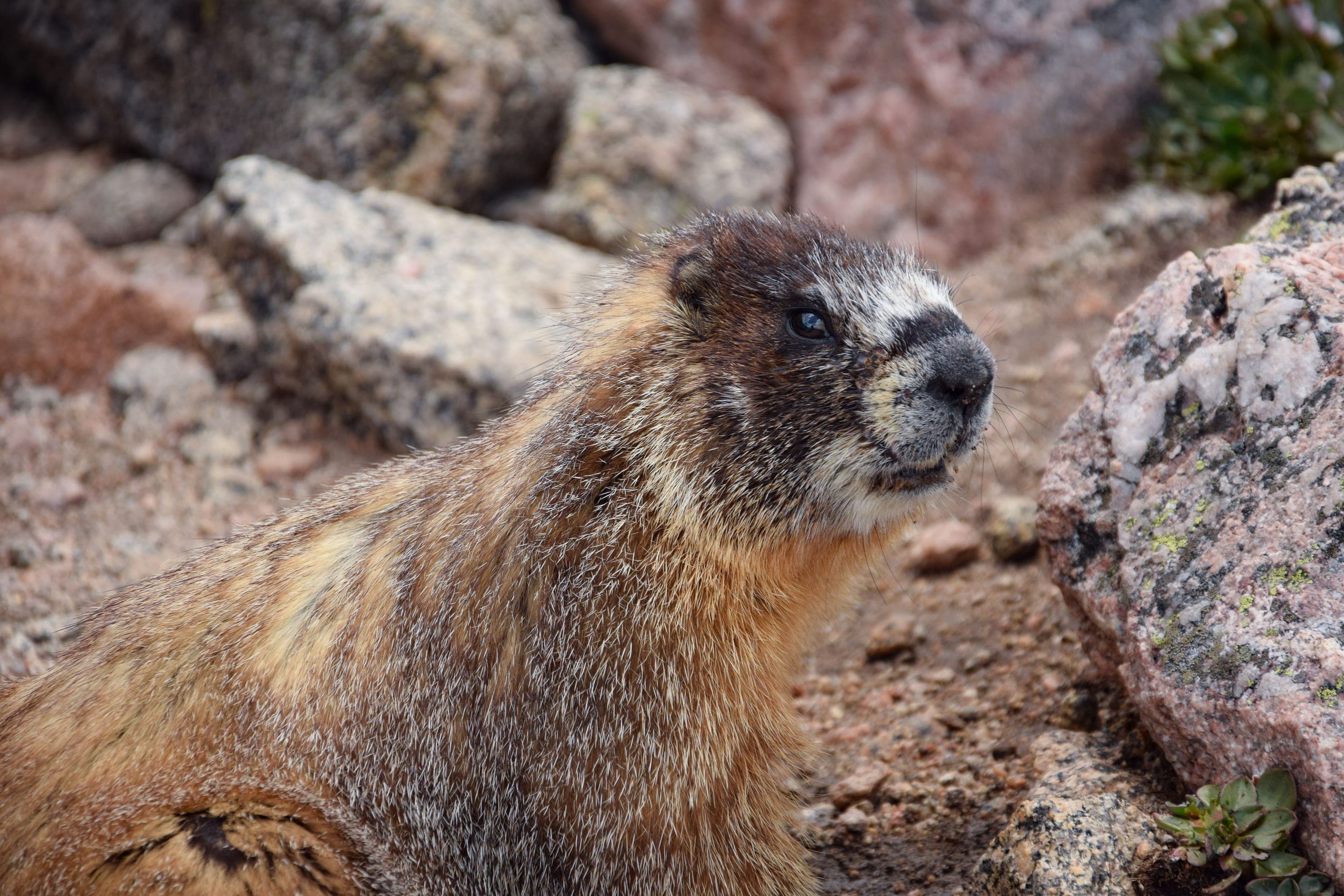
Boulder Field colony at 12,500ft — among the highest marmot populations in Colorado.
Photo: USFWS — public domain
Loading
Loading page content
RMNP's only 14er — 14.5 mi RT via the Keyhole Route
Rocky Mountain National Park
Trip Builder
Tell us your date and conditions — we'll factor in the 14.5-mi route, 5,100 ft of gain, and 10–15 hour day to assemble the gear that matters in under a minute.
RMNP's only 14er — 14.5 mi RT via the Keyhole Route. Editorial intro forthcoming.
Dogs: not allowed.
From Estes Park, take CO-7 south 9 miles to Longs Peak Trailhead. Trailhead fills by 3am on summer weekends — arrive early or park at overflow.
Drive time
Personalize with your ZIP
We'll calculate drive time + a leave-by recommendation to beat the lot fill.
Practical-craft notes for this specific trail — timing, route, photo, etiquette.
The Keyhole Route's afternoon-thunderstorm risk above treeline is the #1 cause of Longs Peak fatalities. To be off the summit before storms build (typically 11am–1pm), you must start by 3am from the trailhead. Headlamp + extra batteries critical.
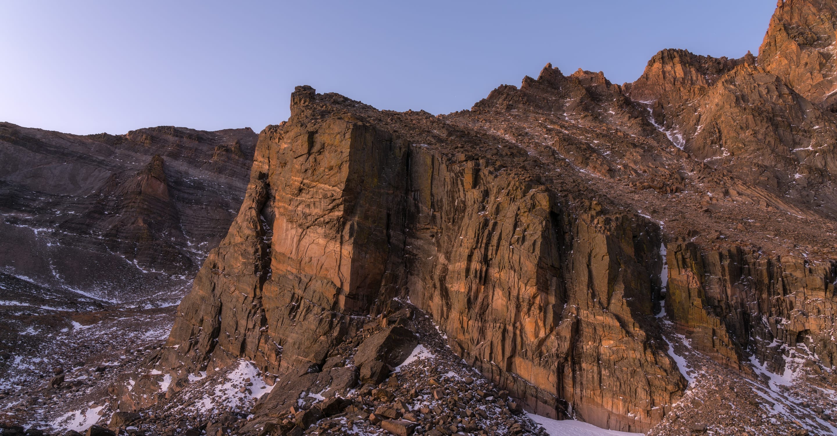
The route name comes from the rock formation visible from the Boulder Field. After the Keyhole, follow the painted bullseyes through Ledges → Trough → Narrows → Homestretch. Off-route = exposure-fall fatality risk. Memorize the route before going.
The Trough is a steep loose-rock couloir below the Narrows. Climbers above kick rocks down. A bike-style helmet is the minimum; a climbing helmet is better. RMNP rangers strongly recommend, though don't require.
The Keyhole at 13,150ft is the decision point. Wet rock = turn around. Building clouds = turn around. Acute altitude sickness = turn around. The summit will be there next year; the conditions decide whether you go.
Most successful summit days are 12–14 hours total. Pack 4,000+ calories: gels for the climb, real food (sandwiches, energy bars, fruit) for breaks at Chasm Lake or the Boulder Field. Salt tablets for cramps above 13,000ft.
Longs Peak Trailhead is the rare RMNP lot expressly designed for overnight + alpine starts — successful Keyhole-route attempts almost always start hiking at 2–3am. Free parking, but the lot fills by 3am on summer weekends; overflow is on the CO-7 shoulder. RMNP entrance fee ($30/vehicle/day) is separate and required.
Highlighted months offer the best conditions.
Longs Peak's 5,100ft of vertical traverses every Colorado biome — from ponderosa at the trailhead through subalpine forest, krummholz, and tundra. Each zone has its species. Above treeline, white-tailed ptarmigan are the prize sighting; the Boulder Field hosts the highest-elevation marmot colonies in the state.

Marmota flaviventris
Boulder Field colony at 12,500ft — among the highest marmot populations in Colorado.
Photo: USFWS — public domain

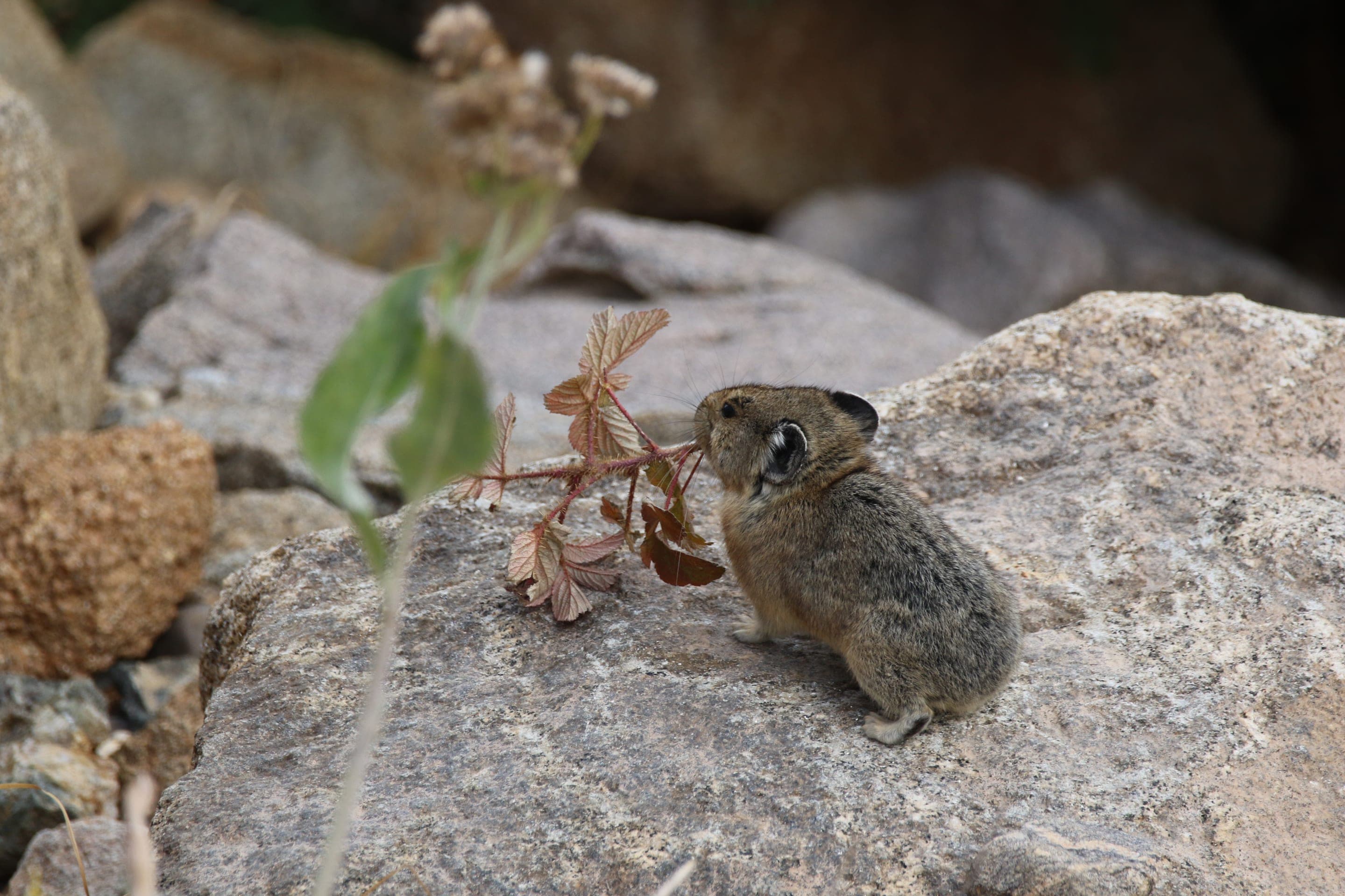
Ochotona princeps
Photo: NPS Photo, Rocky Mountain NP — public domain

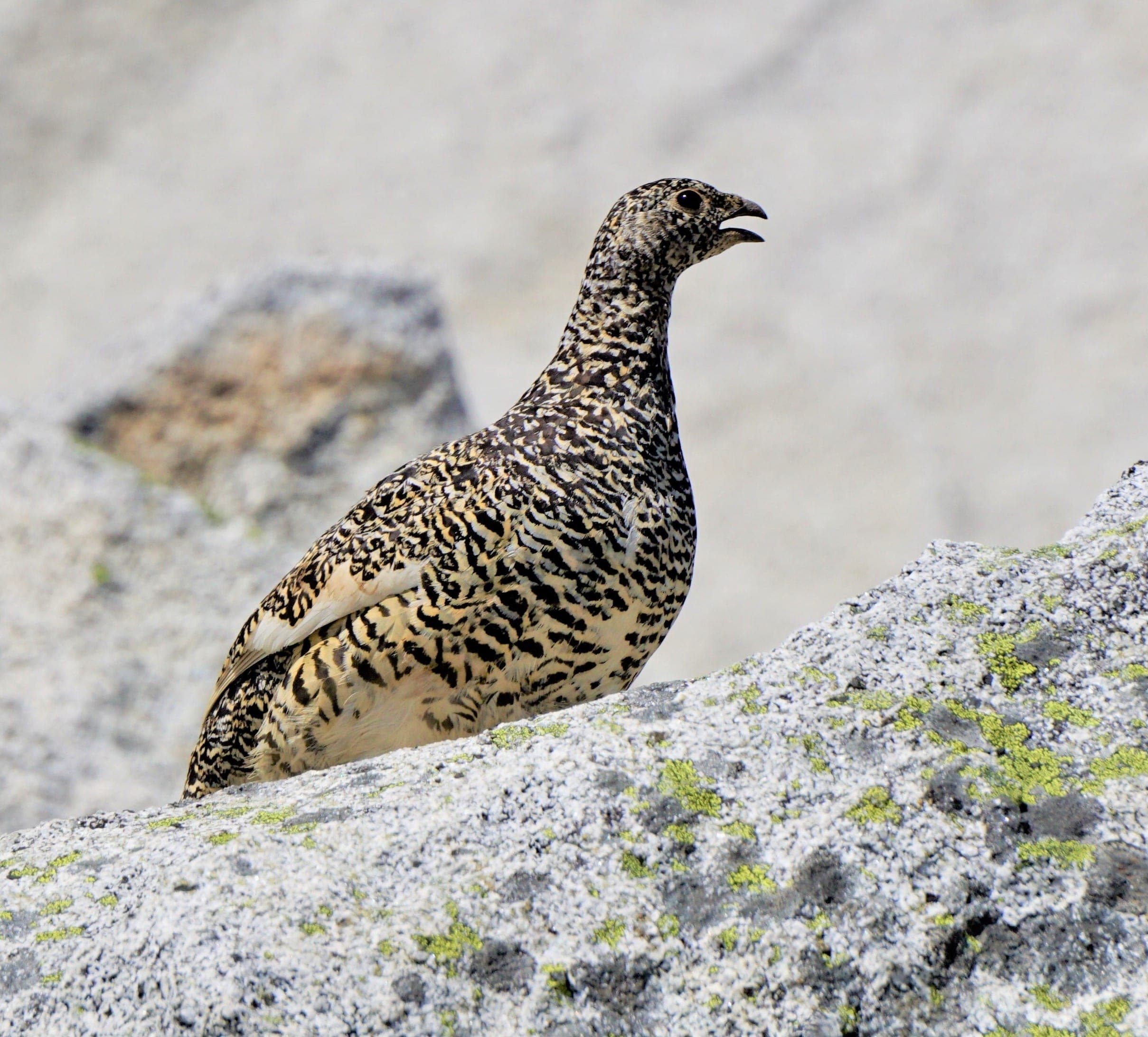
Lagopus leucura
Alpine-tundra specialist — perfectly camouflaged year-round. Look on the upper slopes above the Boulder Field.
Photo: Andy Reago & Chrissy McClarren, CC BY 2.0 — Wikimedia Commons

Anthus rubescens
Photo: USFWS — public domain
Longs Peak is the rare RMNP wilderness zone with multiple designated alpine camping sites (Boulder Field, Goblin's Forest, Battle Mountain) — perfect for splitting the summit attempt over two days. Wilderness permits ($30/night) open March 1 and sell out within hours for peak July–August dates. Bear-resistant canister required.
Curated for this trail's terrain, elevation, and typical conditions.
Hard · Front Range · 7 mi · 2,850 ft gain
7-mi 14er from Guanella Pass — 11,669 ft trailhead, willow bog at the base
Read the guide →Hard · Summit County · 6.75 mi · 3,300 ft gain
Tenmile Range 14er via the East Ridge — parking reservation required at Quandaryparking.com
Read the guide →Easy · Front Range · 0.8 mi · 20 ft gain
0.8-mi RMNP loop on Bear Lake Road — gateway to Nymph, Dream, and Emerald Lake
Read the guide →We publish photos after a quick moderator review. As soon as a hiker shares conditions out there, they'll appear here.