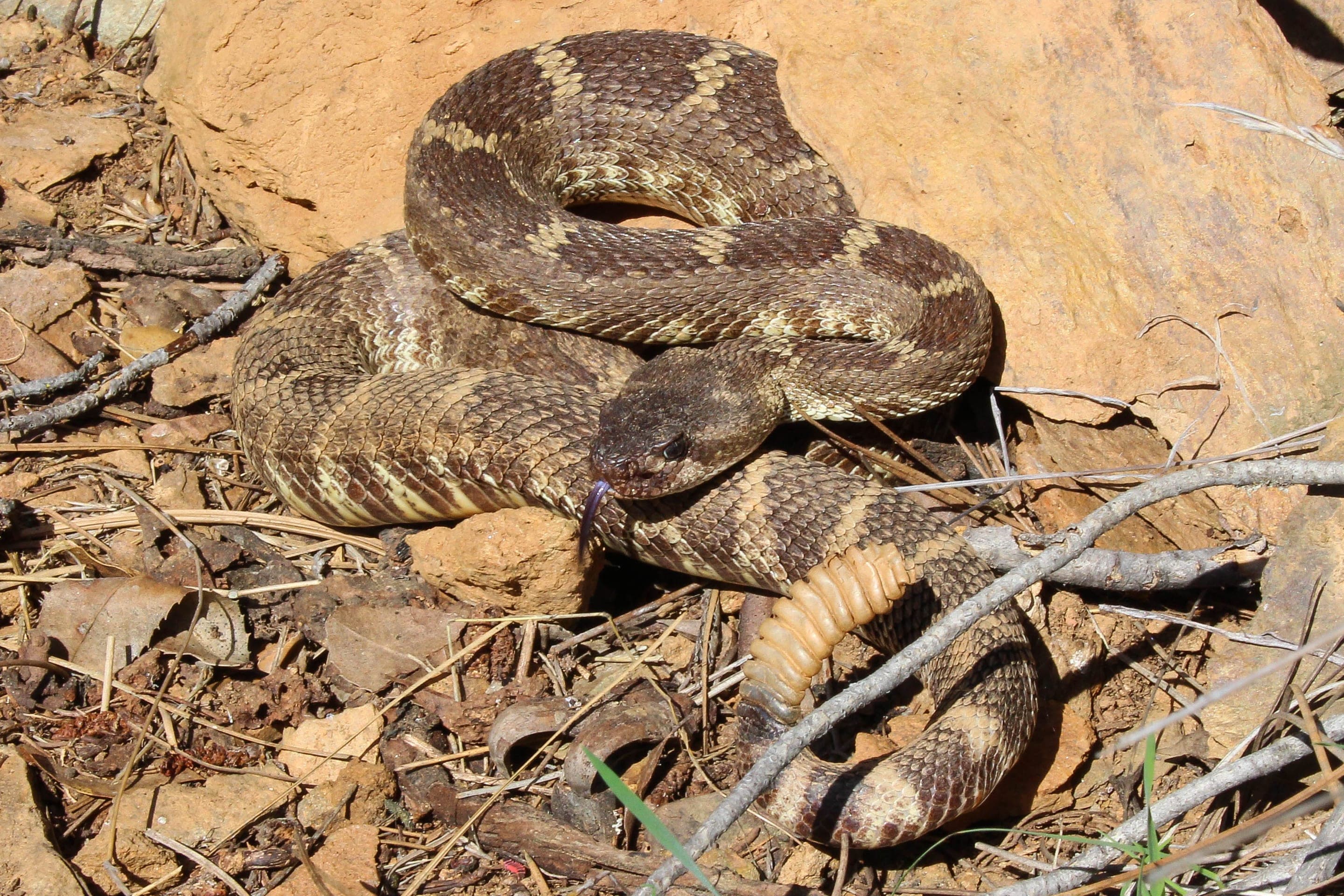
Yellow-bellied marmot
Marmota flaviventris
Photo: USFWS — public domain
Loading
Loading page content
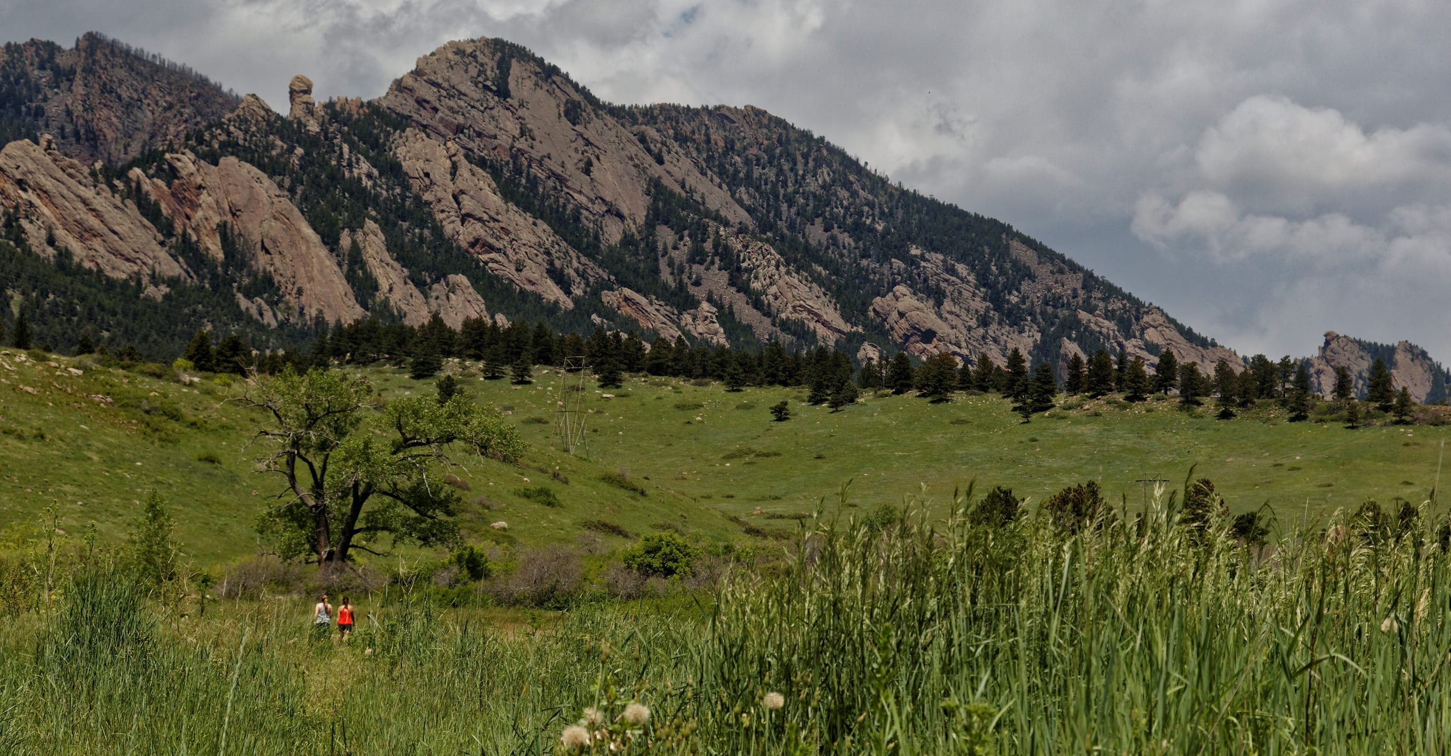
Boulder OSMP's highest summit at 8,549 ft — 6.8 mi RT via Shadow Canyon
Boulder Open Space & Mountain Parks
Trip Builder
Tell us your date and conditions — we'll factor in the 6.8-mi route, 2,950 ft of gain, and 3.5–6 hour day to assemble the gear that matters in under a minute.
Boulder OSMP's highest summit at 8,549 ft — 6.8 mi RT via Shadow Canyon. Editorial intro forthcoming.
Dogs: leashes required.
From Chautauqua Park, take Mesa Trail south approximately 2.5 miles to Shadow Canyon Trail, then follow to South Boulder Peak summit.
Drive time
Personalize with your ZIP
We'll calculate drive time + a leave-by recommendation to beat the lot fill.
Practical-craft notes for this specific trail — timing, route, photo, etiquette.
South Boulder Peak's quieter approach via Mesa Trail + Shadow Canyon is 1.3 miles longer than Bear Peak — bake that into your turn-around math. If Bear Peak fits in your day window, S Boulder might not.
From Mesa Trail south, watch for the unmarked Shadow Canyon junction at 2.5mi. The unsigned spur to the left looks like the trail; it's not. Shadow Canyon is the steeper right-hand option that climbs.
Most South Boulder Peak hikers combine it with Bear Peak via the connecting ridge — adds ~1.5mi but gives you both 8,000ft+ summits in one day. Bring lunch + extra water for the longer day.
Same Indian Peaks horizon as Bear Peak but ~80% fewer people. The summit boulder field photographs well with a wide-angle lens; bring something at 16–24mm equivalent.
The canyon approach stays cool in summer mornings (rare for OSMP). Above treeline, you're exposed on the bare summit ridge — afternoon lightning is the real risk.
South Boulder Peak is Boulder Open Space's biggest day — 6.8 miles and 2,950ft from the Chautauqua trailhead, which fills by 6am on summer weekends. The Mesa Trail approach is quieter than other Chautauqua-adjacent peaks, but you still share the parking situation. Use the shuttle or arrive at dawn; no overnight stays.
Highlighted months offer the best conditions.
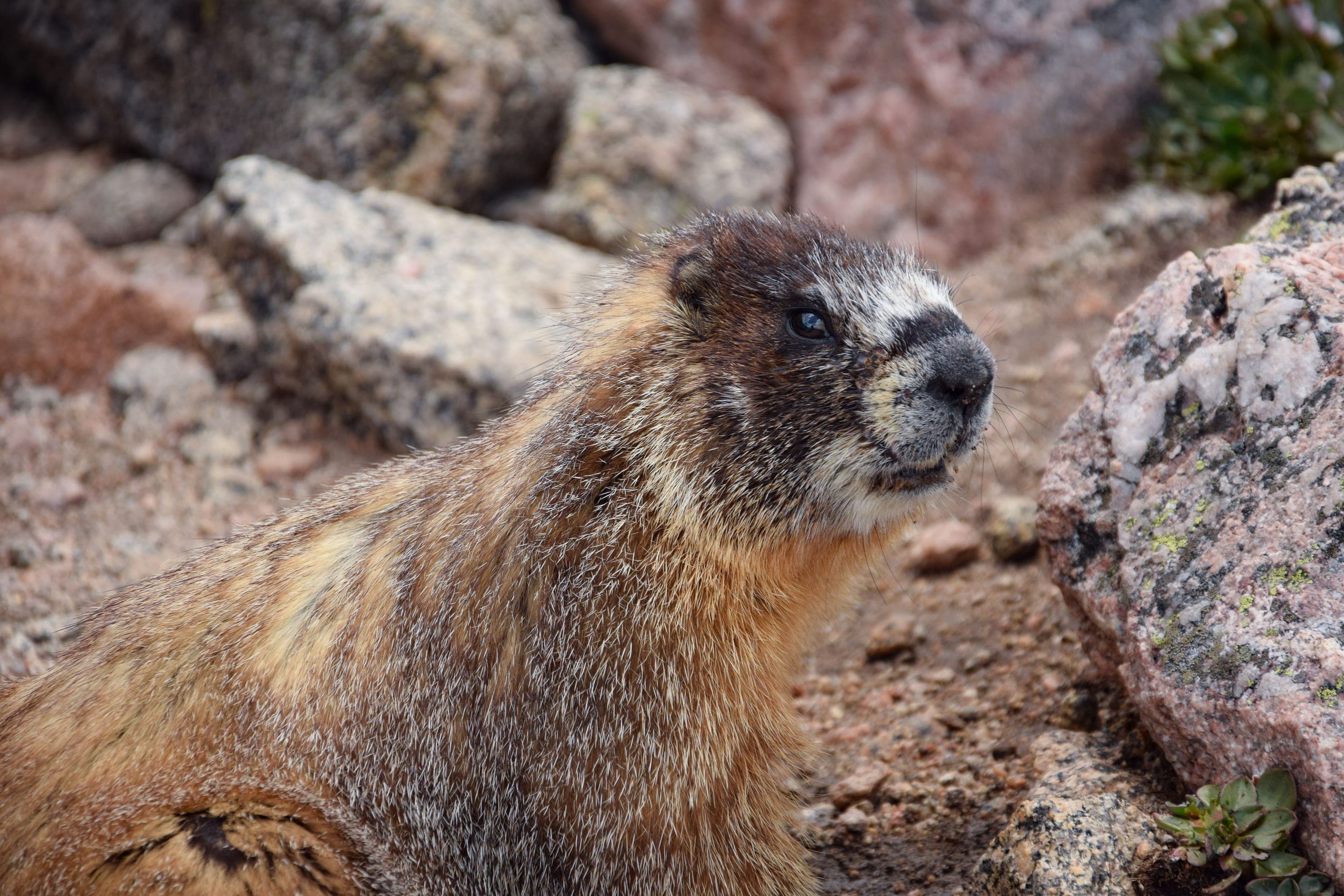
Boulder's highest open-space summit (8,549ft) hosts the same alpine accents as Bear Peak's ridge — marmots on the summit talus, golden eagles riding thermals, and a quieter approach where you may see more deer along the Mesa Trail than other Chautauqua peaks.

Marmota flaviventris
Photo: USFWS — public domain

Odocoileus hemionus
Quieter approach via Mesa Trail puts you in better deer-viewing territory than the busier Chautauqua-meadow trails.
Photo: NPS Photo — public domain

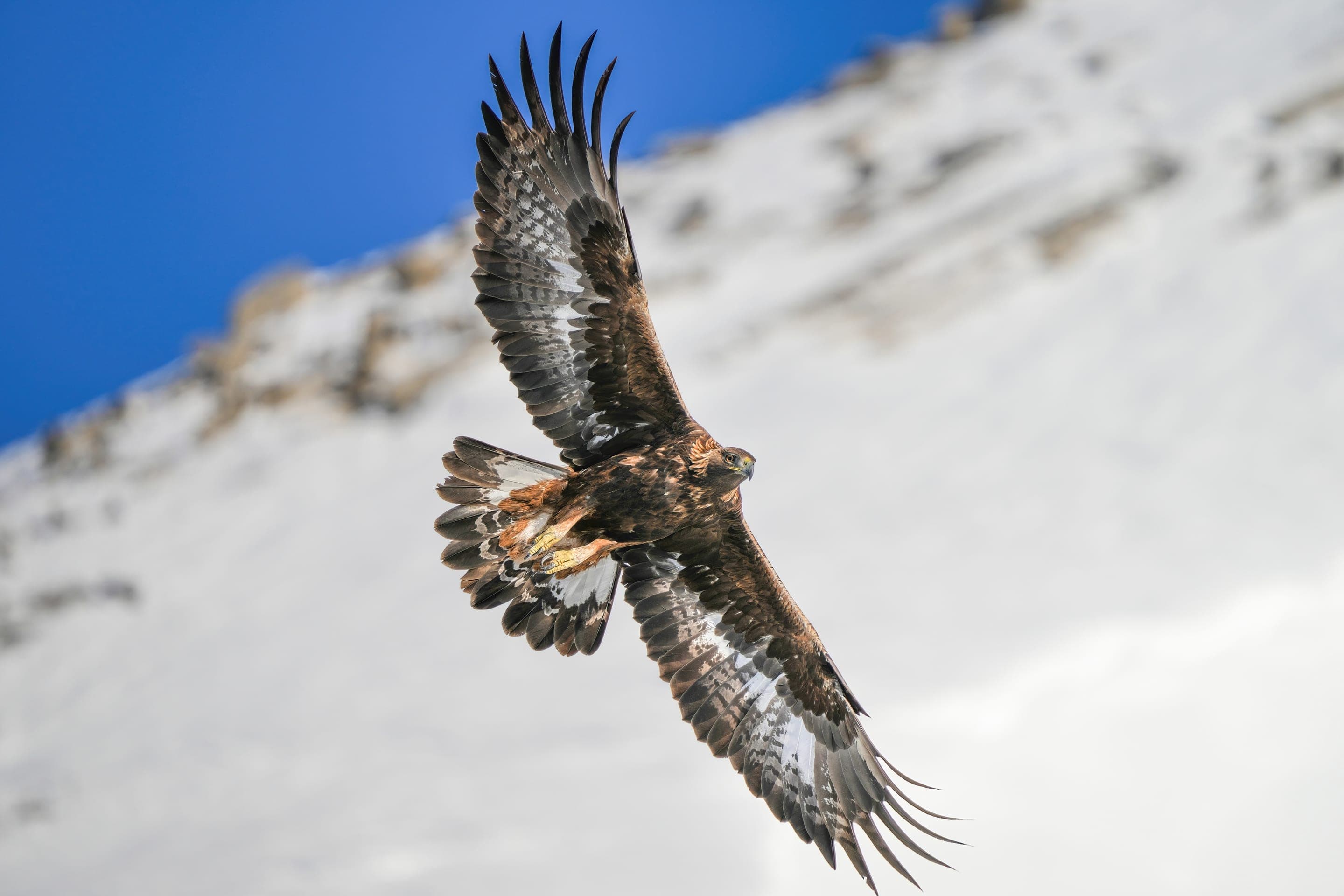
Aquila chrysaetos
Soaring the summit thermals year-round. The highest Flatirons summits are golden-eagle territory.
Photo: USFWS — public domain

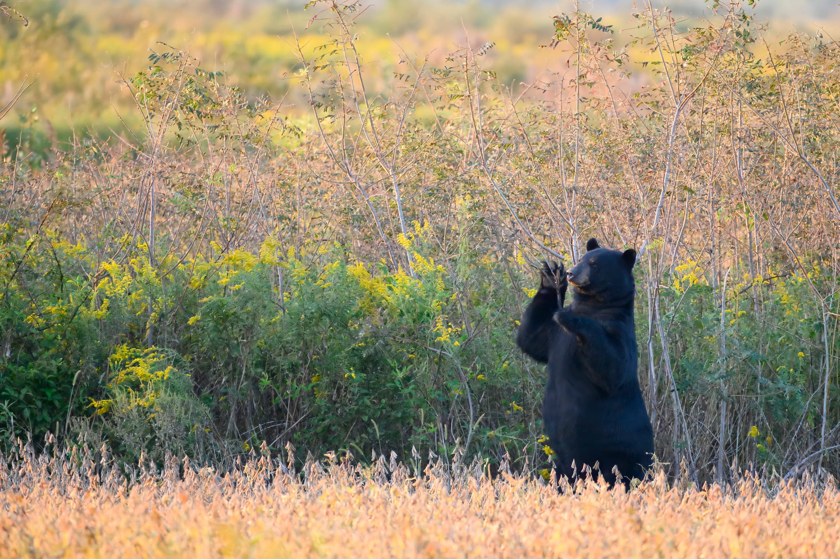
Ursus americanus
Photo: USFWS — public domain
Day-use only — overnight not permitted
Boulder OSMP closes lots at sunset; no camping on Boulder Open Space land.
Curated for this trail's terrain, elevation, and typical conditions.
Same parking, same logistics — if your plans need to flex, here's what else is reachable from Chautauqua Park Trailhead.
Easy · 3.2 mi · 780 ft gain · 1.5–3 hours
Boulder's gateway to the Flatirons — 3.2-mi loop from downtown OSMP
Read the guide →Hard · 3.4 mi · 1,400 ft gain · 2–4 hours
1,400 ft climb to a 7,040 ft sandstone arch — 3.4 mi RT from Chautauqua
Read the guide →Hard · 5.5 mi · 2,850 ft gain · 3–6 hours
Boulder OSMP's high point — 8,461 ft via West Ridge or Fern Canyon
Read the guide →Easy · 2 mi · 416 ft gain · 1–1.5 hours
Chautauqua's gradual beginner climb toward the Flatirons
Read the guide →Hard · Boulder · 5.5 mi · 2,850 ft gain
Boulder OSMP's high point — 8,461 ft via West Ridge or Fern Canyon
Read the guide →Hard · Boulder · 3.4 mi · 1,400 ft gain
1,400 ft climb to a 7,040 ft sandstone arch — 3.4 mi RT from Chautauqua
Read the guide →Easy · Boulder · 3.2 mi · 780 ft gain
Boulder's gateway to the Flatirons — 3.2-mi loop from downtown OSMP
Read the guide →We publish photos after a quick moderator review. As soon as a hiker shares conditions out there, they'll appear here.