Abert's squirrel
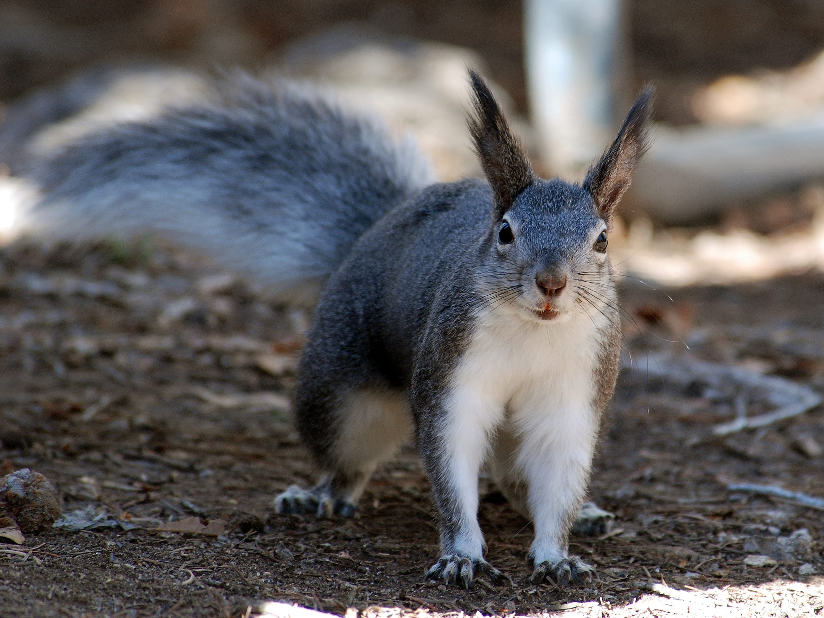
Sciurus aberti
Tufted-ear ponderosa specialist — Boulder's signature ground-tree squirrel, often the all-black color phase.
Photo: USFWS — public domain
Loading
Loading page content
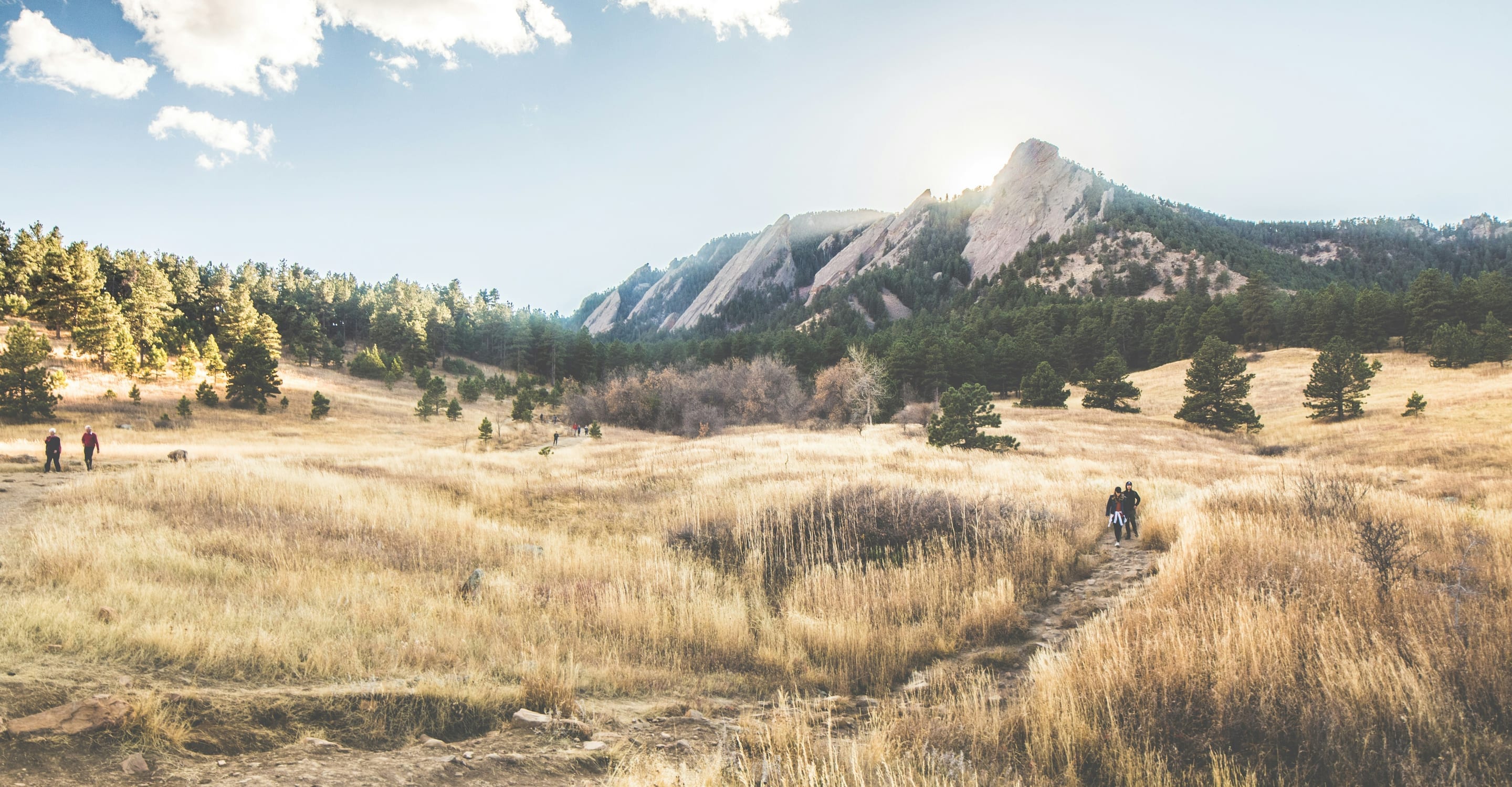
Chautauqua's gradual beginner climb toward the Flatirons
Boulder Open Space & Mountain Parks
Trip Builder
Tell us your date and conditions — we'll factor in the 2-mi route, 416 ft of gain, and 1–1.5 hour day to assemble the gear that matters in under a minute.
Chautauqua's gradual beginner climb toward the Flatirons. Editorial intro forthcoming.
Dogs: leashes required.
From Chautauqua Park (Baseline Road west of downtown Boulder), start at the Chautauqua Auditorium Trailhead — Enchanted Mesa branches south from the Bluebell Road area.
Drive time
Personalize with your ZIP
We'll calculate drive time + a leave-by recommendation to beat the lot fill.
Practical-craft notes for this specific trail — timing, route, photo, etiquette.
Enchanted Mesa itself allows leashed dogs, but the connecting Upper McClintock Trail prohibits dogs entirely. The boundary is unsigned — if you're with a dog, turn around at the McClintock junction or you're in violation.
Unlike open-meadow trails, Enchanted Mesa puts you under the ponderosa canopy with Flatiron rock faces peeking through. Mid-morning light filtering through the pines gives a textured, less-photographed angle.
The mesa surface is soft and erodes easily. OSMP closes the trail for 1-2 days after significant rain or snow. Check `osmp.org/trail-status` before driving up if conditions have been wet.
416ft of gain over a mile is the steepest of Boulder's true-easy trails. Trail runners with grip outperform sneakers; poles are nice-to-have but not required.
Bikes are prohibited on Enchanted Mesa. The trail is dedicated foot traffic + dogs only. If you see a bike, it's illegal — OSMP appreciates the report.
Enchanted Mesa shares the famously busy Chautauqua Park trailhead. The lot fills by 7am on summer weekends, but the 1-hour out-and-back means you can squeeze in before bigger crowds — or take the free Chautauqua Express shuttle from downtown Boulder. No overnight stays.
Highlighted months offer the best conditions.
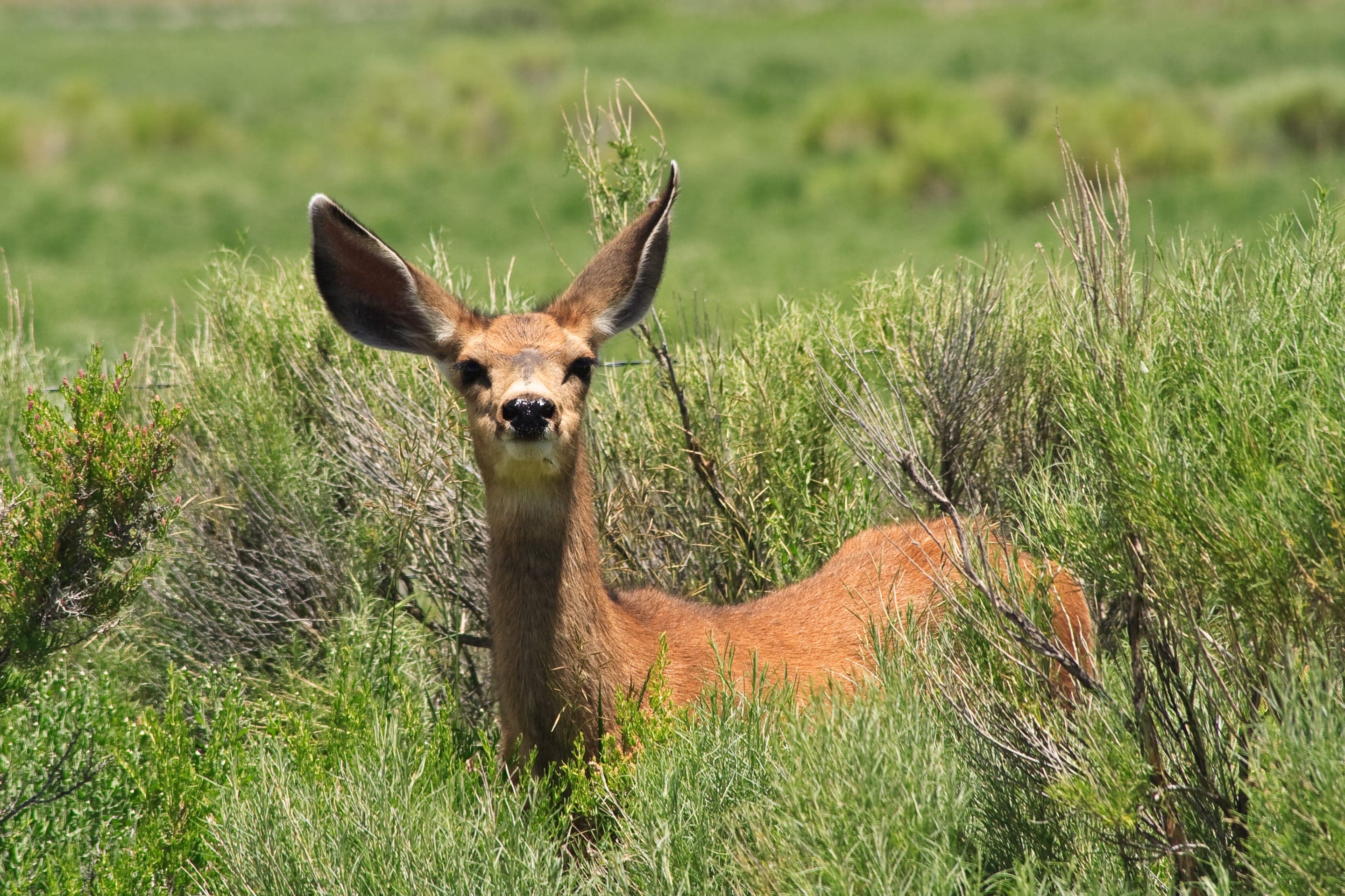
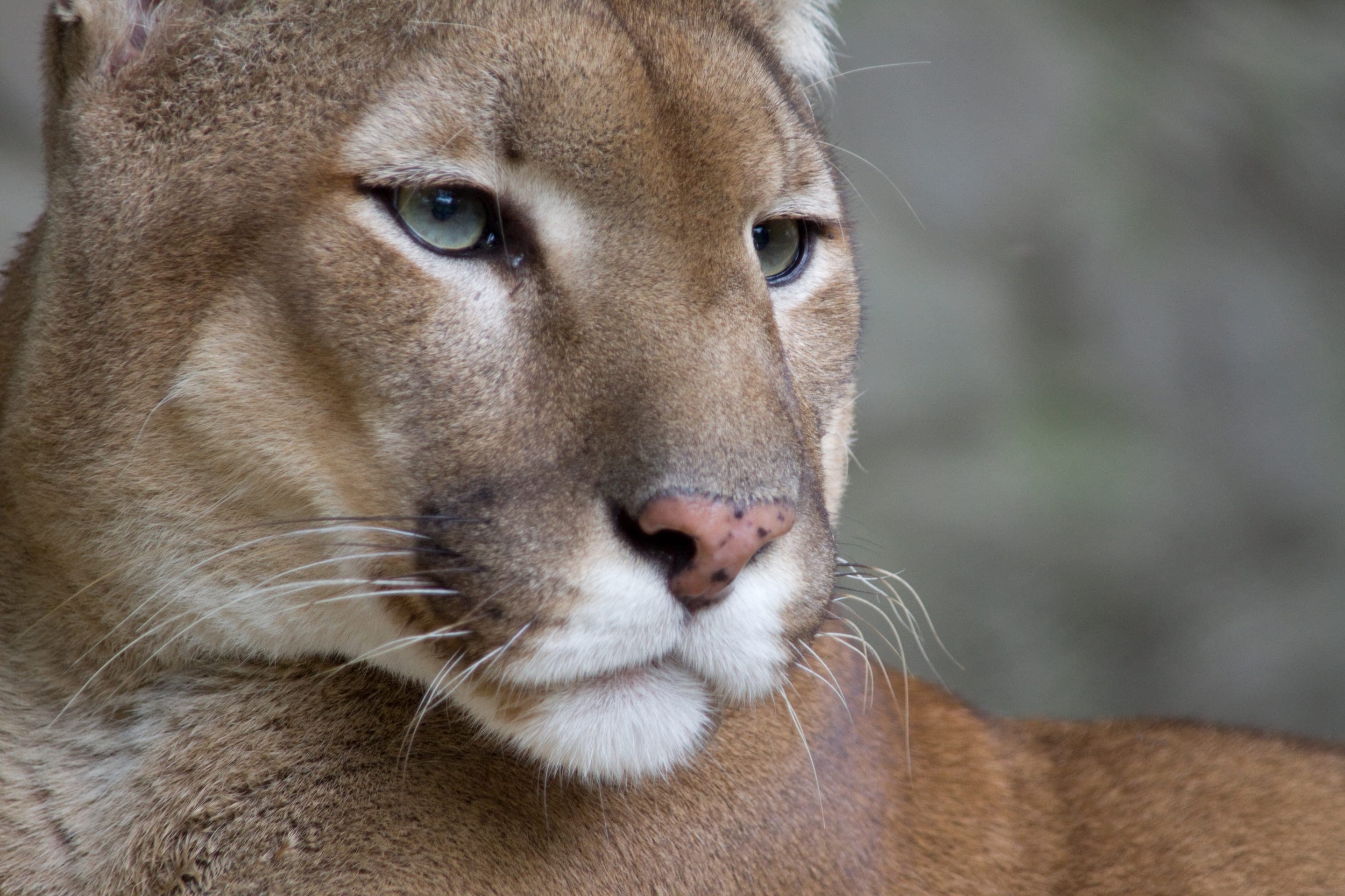
The mesa's open ponderosa pine groves are home to the distinctive Abert's squirrel — tufted ears, all-black phase common to Boulder. Mule deer browse the lower trail year-round; the bench at the top is a quiet bird-watching spot.

Sciurus aberti
Tufted-ear ponderosa specialist — Boulder's signature ground-tree squirrel, often the all-black color phase.
Photo: USFWS — public domain

Odocoileus hemionus
Photo: NPS Photo — public domain

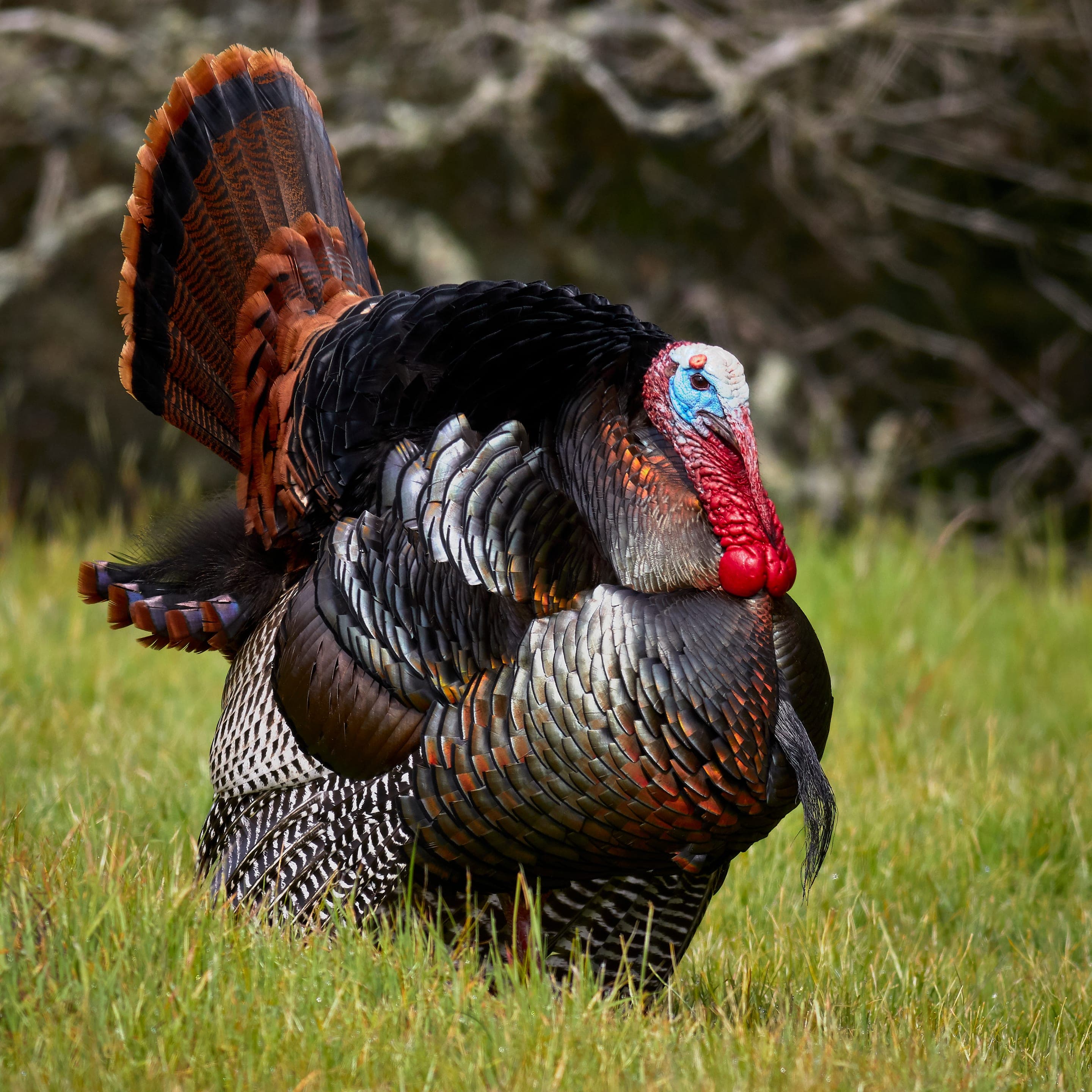
Meleagris gallopavo
Photo: USFWS — public domain

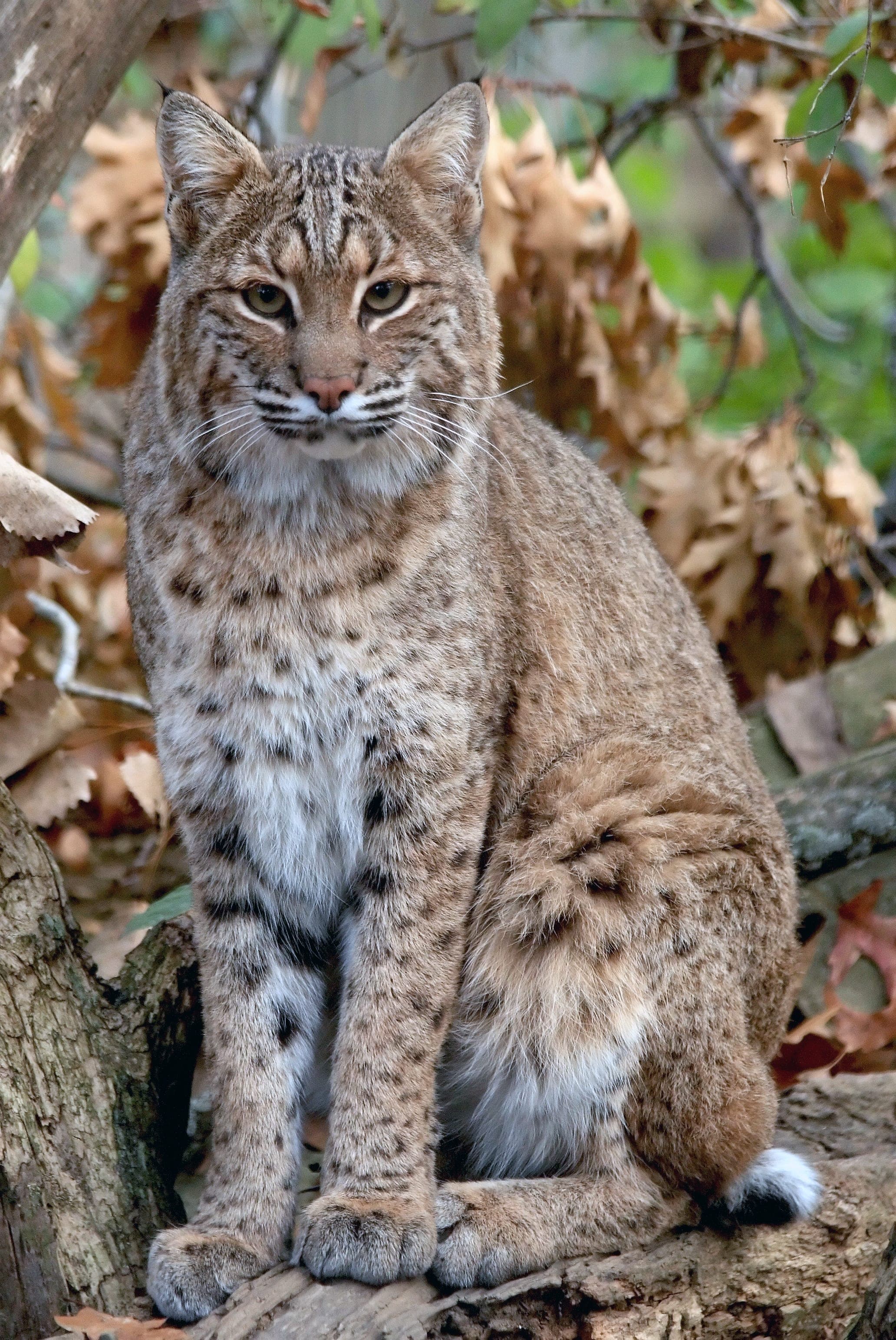
Lynx rufus
Occasional sightings reported in the ponderosa zone — generally avoids people; never approach.
Photo: USFWS — public domain
Day-use only — overnight not permitted
Day-use only. Closest legal camping for Chautauqua-area users: Reverend's Ridge in Golden Gate Canyon State Park (45min drive).
Curated for this trail's terrain, elevation, and typical conditions.
Same parking, same logistics — if your plans need to flex, here's what else is reachable from Chautauqua Park Trailhead.
Easy · 3.2 mi · 780 ft gain · 1.5–3 hours
Boulder's gateway to the Flatirons — 3.2-mi loop from downtown OSMP
Read the guide →Hard · 3.4 mi · 1,400 ft gain · 2–4 hours
1,400 ft climb to a 7,040 ft sandstone arch — 3.4 mi RT from Chautauqua
Read the guide →Hard · 5.5 mi · 2,850 ft gain · 3–6 hours
Boulder OSMP's high point — 8,461 ft via West Ridge or Fern Canyon
Read the guide →Hard · 6.8 mi · 2,950 ft gain · 3.5–6 hours
Boulder OSMP's highest summit at 8,549 ft — 6.8 mi RT via Shadow Canyon
Read the guide →Easy · Boulder · 3.2 mi · 780 ft gain
Boulder's gateway to the Flatirons — 3.2-mi loop from downtown OSMP
Read the guide →Easy · Boulder · 2.4 mi · 465 ft gain
Mount Sanitas's gentle valley alternative — broad gravel uphill
Read the guide →Easy · Boulder · 1.8 mi · 88 ft gain
Boulder's easiest lake loop — wetlands, prairie, and Foothills views
Read the guide →We publish photos after a quick moderator review. As soon as a hiker shares conditions out there, they'll appear here.