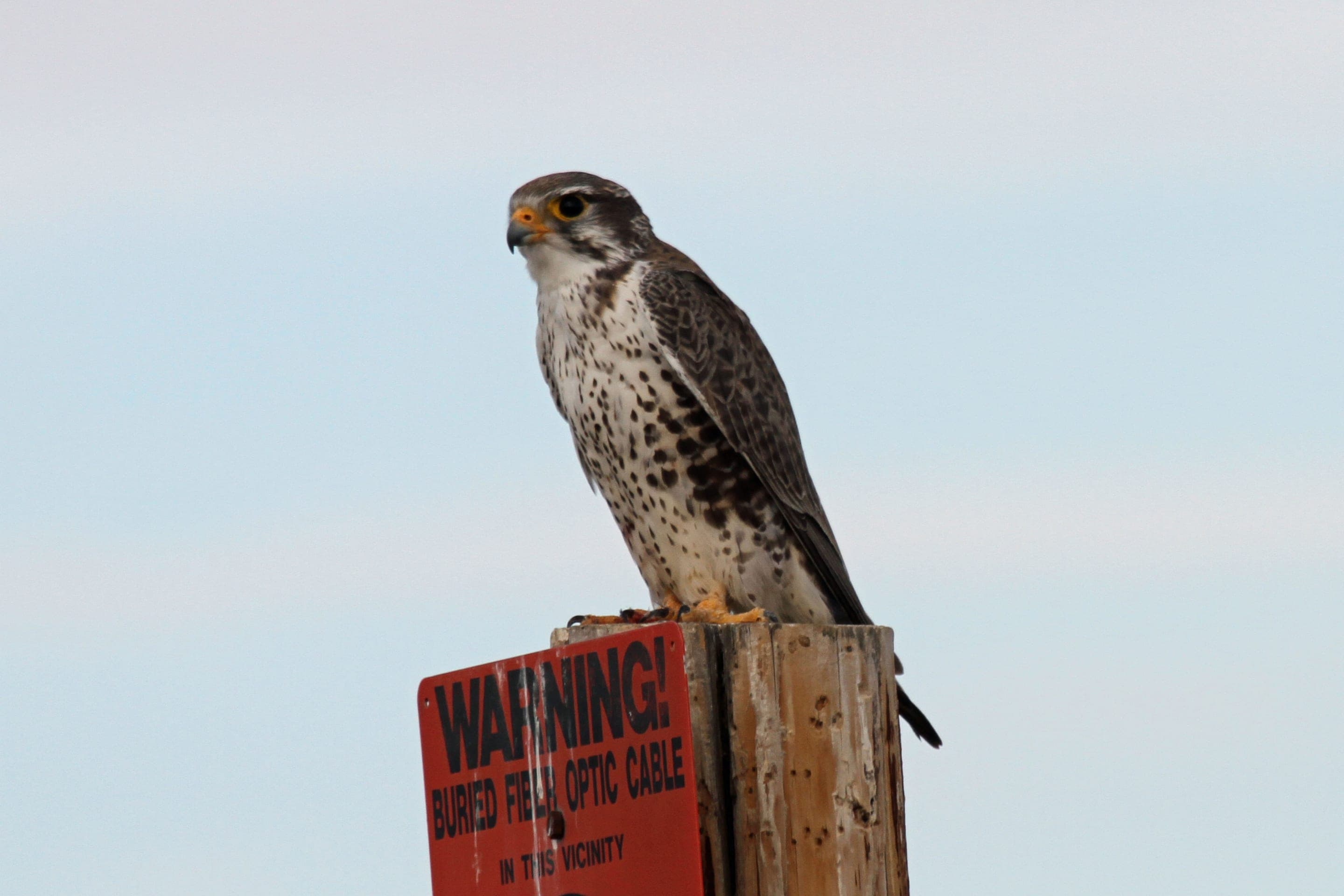
Prairie falcon
Falco mexicanus
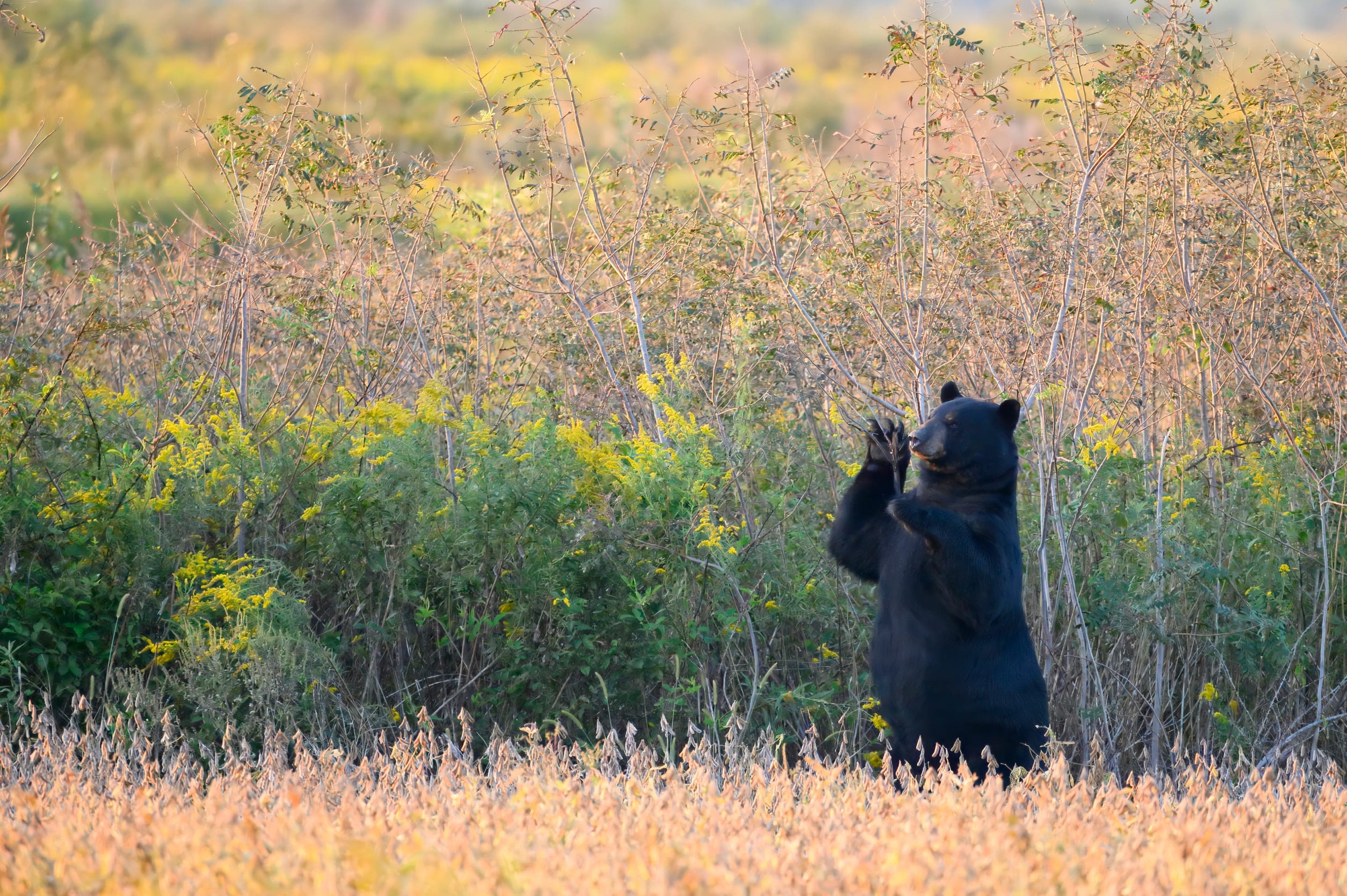
Cliff-nesting falcons of the Flatirons — listen for the keening call from the rock faces above the arch.
Photo: USFWS — public domain
Loading
Loading page content
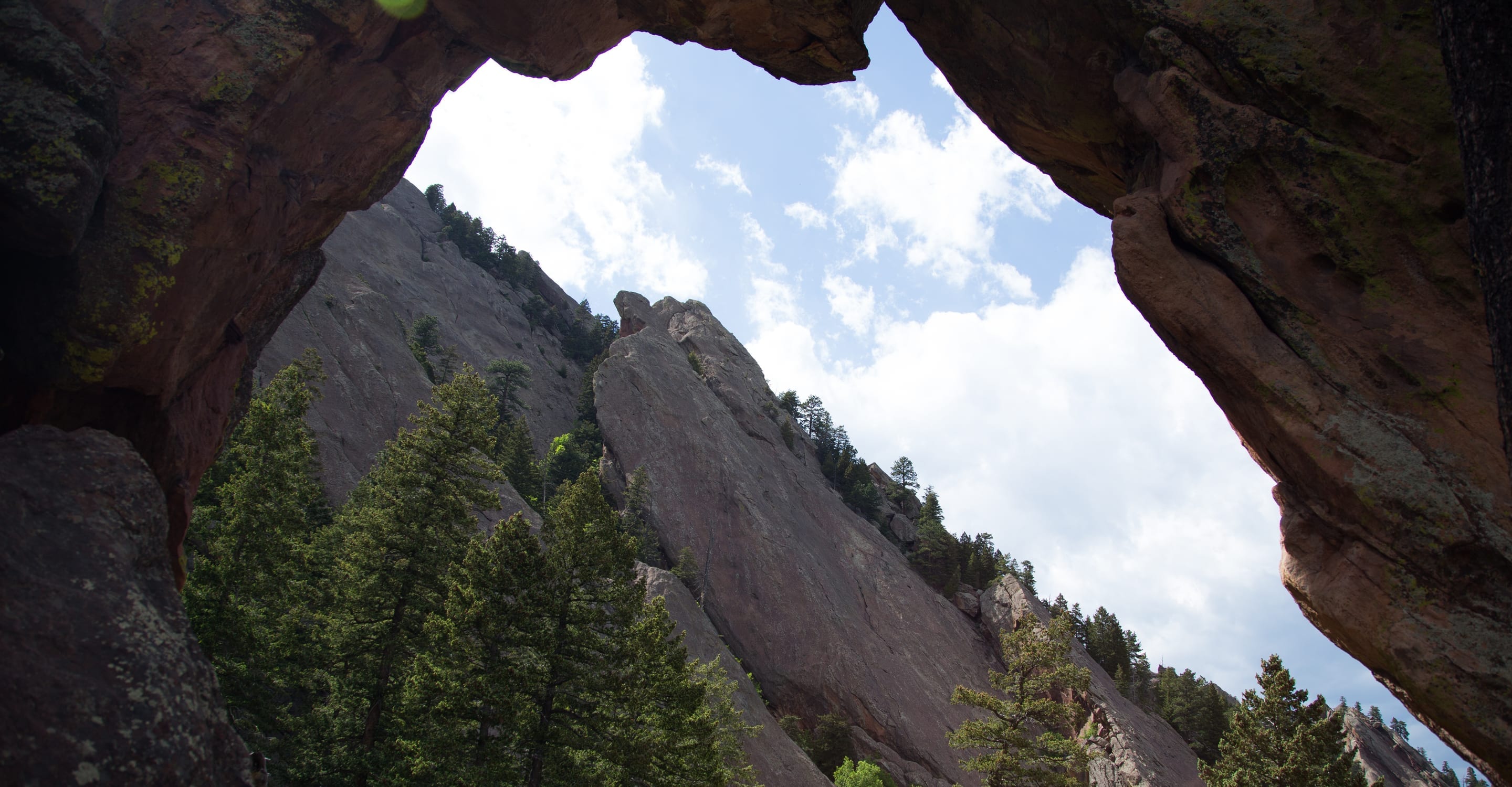
1,400 ft climb to a 7,040 ft sandstone arch — 3.4 mi RT from Chautauqua
Boulder Open Space & Mountain Parks
Trip Builder
Tell us your date and conditions — we'll factor in the 3.4-mi route, 1,400 ft of gain, and 2–4 hour day to assemble the gear that matters in under a minute.
1,400 ft climb to a 7,040 ft sandstone arch — 3.4 mi RT from Chautauqua. Editorial intro forthcoming.
Dogs: leashes required.
From Chautauqua Park, follow Chautauqua Trail south to Bluebell Road junction, then take Bluebell-Baird Trail to Royal Arch Trail. Same parking as Chautauqua.
Drive time
Personalize with your ZIP
We'll calculate drive time + a leave-by recommendation to beat the lot fill.
Practical-craft notes for this specific trail — timing, route, photo, etiquette.
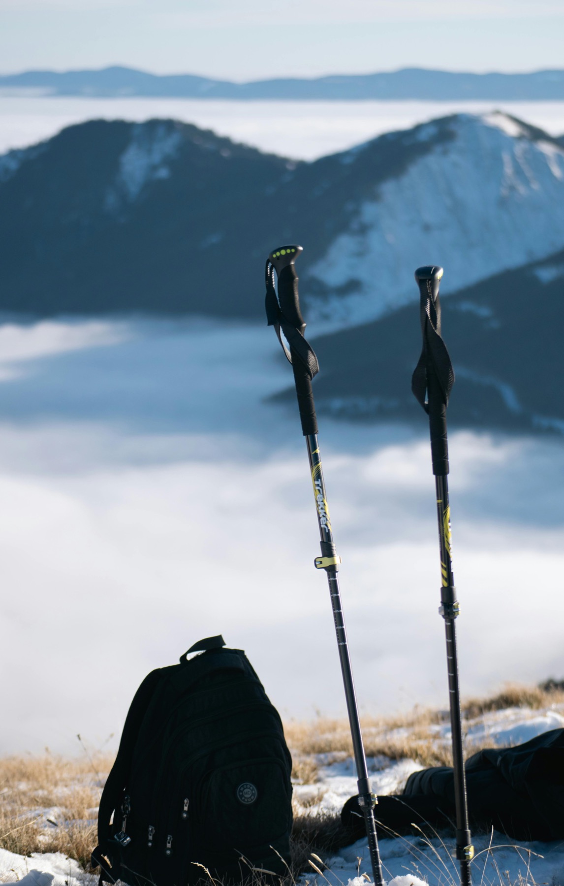
The last quarter-mile to the arch is loose talus and slabs requiring hands. Approach shoes work; running shoes don't. Trekking poles are critical for the descent — most knee strain happens on the steep return.
From Chautauqua, take Bluebell-Baird Trail (well-signed). The Sentinel Pass alternate is longer and rougher — don't accidentally end up on it via the unsigned NCAR connector tracks.
Step through the arch and turn 180° — you get a natural stone frame around the Boulder grid + plains. Mid-morning the light catches the eastern arch face; sunset gives warm side-light.
Boulder's most-visited destination hike sees 800–1200 people on a summer Saturday. The cliff-bottle base of the arch gets gridlocked; arrive at dawn or hike off-season (Apr or Oct shoulder).
The last 0.3mi loses sun for half the day and ices over hard from October through April. Multiple injuries each year from people who push through with sneakers. If the rock looks dark and slick, the day was the trip to the saddle.
Royal Arch shares the famously busy Chautauqua Park trailhead — the lot fills by 6am–7am May through October. Free parking when you get it, but the smart move on summer weekends is the free Chautauqua Express shuttle from downtown Boulder. The 2–4 hour technical climb means you want to be on trail before the lot reshuffles mid-morning. No overnight stays (OSMP closes at sunset).
Highlighted months offer the best conditions.
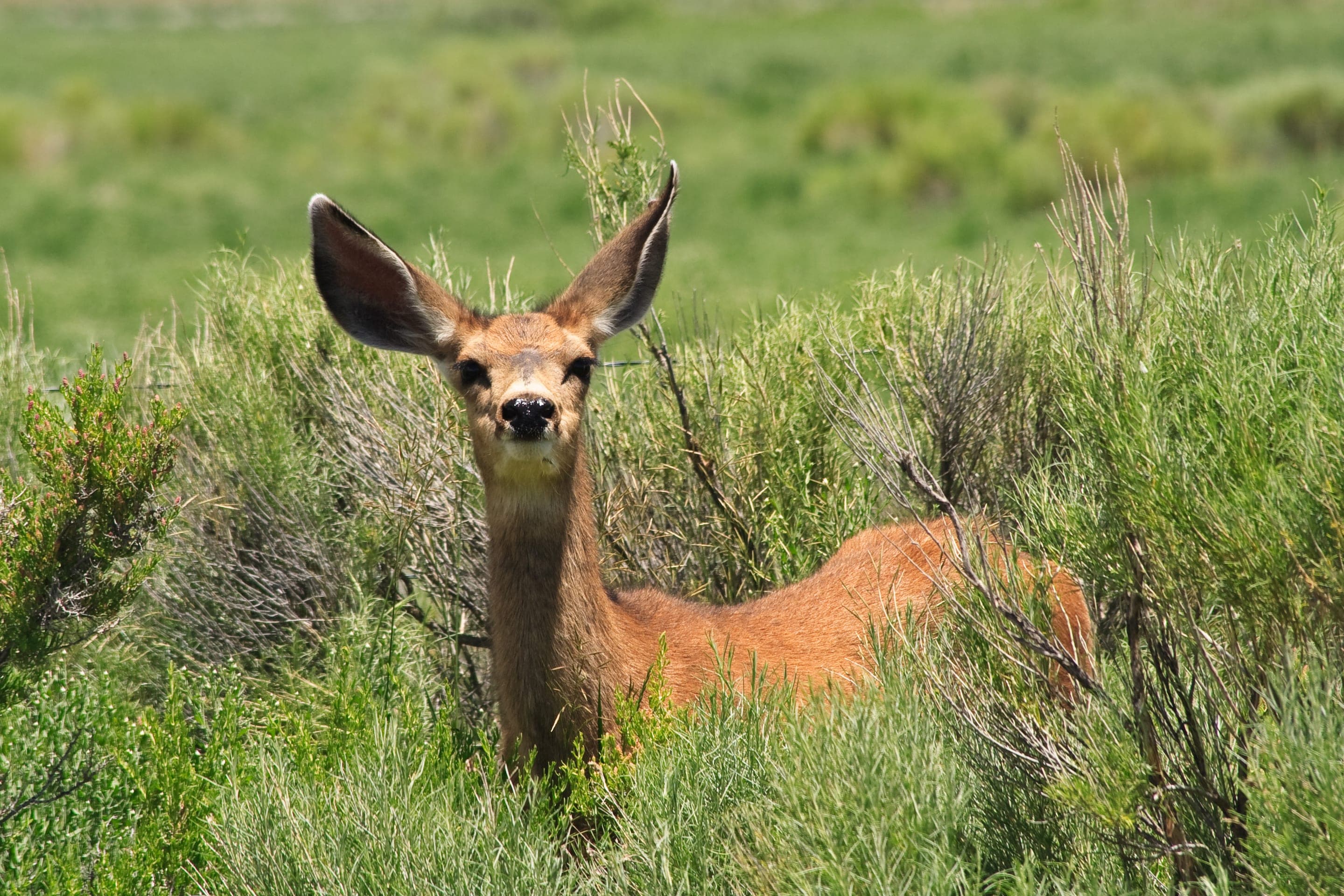
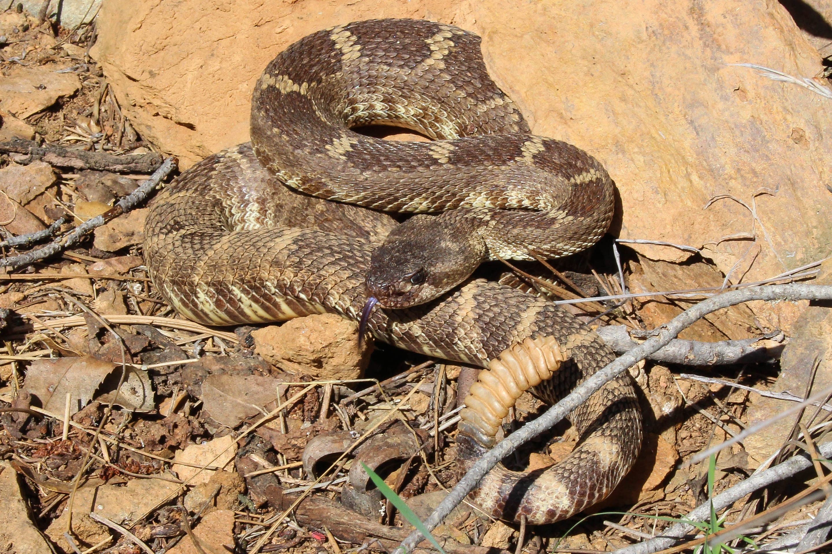
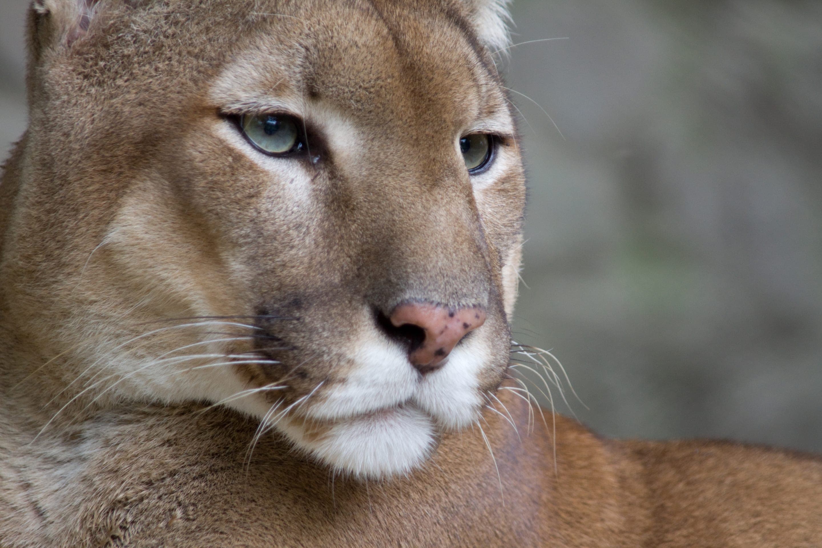
The cliff approach to Royal Arch puts you in prime prairie-falcon territory March through July — OSMP closes nearby climbing routes during the nesting window. Mountain lion habitat throughout; the lower meadow has resident mule deer and the rocky upper sections see rattlesnakes April through October.

Falco mexicanus
Cliff-nesting falcons of the Flatirons — listen for the keening call from the rock faces above the arch.
Photo: USFWS — public domain

Odocoileus hemionus
Photo: NPS Photo — public domain

Crotalus oreganus
Watch the warm rock steps on the final approach — bites are rare but the trail is too remote for a fast evacuation.
Photo: USFWS — public domain

Puma concolor
Photo: NPS Photo / Neal Herbert — public domain
Day-use only — overnight not permitted
Day-use only — Boulder OSMP closes Chautauqua lots at sunset. The arch itself has no camping; closest backcountry is Indian Peaks Wilderness (~1hr drive).
Curated for this trail's terrain, elevation, and typical conditions.
Same parking, same logistics — if your plans need to flex, here's what else is reachable from Chautauqua Park Trailhead.
Easy · 3.2 mi · 780 ft gain · 1.5–3 hours
Boulder's gateway to the Flatirons — 3.2-mi loop from downtown OSMP
Read the guide →Hard · 5.5 mi · 2,850 ft gain · 3–6 hours
Boulder OSMP's high point — 8,461 ft via West Ridge or Fern Canyon
Read the guide →Hard · 6.8 mi · 2,950 ft gain · 3.5–6 hours
Boulder OSMP's highest summit at 8,549 ft — 6.8 mi RT via Shadow Canyon
Read the guide →Easy · 2 mi · 416 ft gain · 1–1.5 hours
Chautauqua's gradual beginner climb toward the Flatirons
Read the guide →Easy · Boulder · 3.2 mi · 780 ft gain
Boulder's gateway to the Flatirons — 3.2-mi loop from downtown OSMP
Read the guide →Hard · Boulder · 5.5 mi · 2,850 ft gain
Boulder OSMP's high point — 8,461 ft via West Ridge or Fern Canyon
Read the guide →Hard · Boulder · 6.8 mi · 2,950 ft gain
Boulder OSMP's highest summit at 8,549 ft — 6.8 mi RT via Shadow Canyon
Read the guide →We publish photos after a quick moderator review. As soon as a hiker shares conditions out there, they'll appear here.